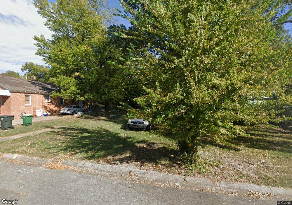
2117 Howard St Little Rock, AR 72202
Central High NeighborhoodEstimated Value: $22,000 - $111,000
--
Bed
--
Bath
1,260
Sq Ft
$44/Sq Ft
Est. Value
About This Home
This home is located at 2117 Howard St, Little Rock, AR 72202 and is currently estimated at $56,000, approximately $44 per square foot. 2117 Howard St is a home with nearby schools including Stephens Elementary School, Dunbar Magnet Middle School, and Central High School.
Ownership History
Date
Name
Owned For
Owner Type
Purchase Details
Closed on
Aug 11, 2020
Sold by
Herm Eric and A31 Land Trust
Bought by
Wardlow Tyoto and Wadlow Tifany
Current Estimated Value
Purchase Details
Closed on
Jul 6, 2020
Sold by
Commissioner Of State Lands
Bought by
Gathright Byron
Purchase Details
Closed on
May 17, 2007
Sold by
Blanchard Richard M
Bought by
Little Rock Homes Llc
Purchase Details
Closed on
Nov 14, 2006
Sold by
Wilcox Mark
Bought by
Blanchard Richard M
Create a Home Valuation Report for This Property
The Home Valuation Report is an in-depth analysis detailing your home's value as well as a comparison with similar homes in the area
Home Values in the Area
Average Home Value in this Area
Purchase History
| Date | Buyer | Sale Price | Title Company |
|---|---|---|---|
| Wardlow Tyoto | $300 | None Available | |
| Gathright Byron | -- | None Available | |
| Little Rock Homes Llc | $2,000 | None Available | |
| Blanchard Richard M | $205 | None Available |
Source: Public Records
Tax History Compared to Growth
Tax History
| Year | Tax Paid | Tax Assessment Tax Assessment Total Assessment is a certain percentage of the fair market value that is determined by local assessors to be the total taxable value of land and additions on the property. | Land | Improvement |
|---|---|---|---|---|
| 2025 | $56 | $800 | $800 | -- |
| 2024 | $50 | $800 | $800 | -- |
| 2023 | $50 | $800 | $800 | $0 |
| 2022 | $46 | $800 | $800 | $0 |
| 2021 | $42 | $600 | $600 | $0 |
| 2020 | $42 | $600 | $600 | $0 |
| 2019 | $42 | $600 | $600 | $0 |
| 2018 | $42 | $600 | $600 | $0 |
| 2017 | $42 | $600 | $600 | $0 |
| 2016 | $123 | $1,770 | $1,600 | $170 |
| 2015 | $114 | $1,630 | $1,600 | $30 |
| 2014 | $114 | $1,600 | $1,600 | $0 |
Source: Public Records
Map
Nearby Homes
- 2220 W 22nd St
- 2213 Dennison St
- 2100 S Battery St
- 1817 S Park St
- 1921 Wright Ave
- 1905 S Battery St
- 3214 Wolfe St
- 2103 Wolfe St
- 2405 S Battery St
- 1724 W 19th St
- 2211 W 17th St
- 1609 W Charles Bussey Ave
- 2417 Wolfe St
- 1616 Dennison St
- 2600 S Battery St
- 1623 W 24th St
- 1524 W 22nd St
- 1910 S Woodrow St
- 2600 Wolfe St
- 1509 W 19th St