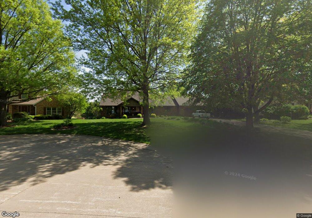
2117 New Castle Ct Davenport, IA 52807
North Side NeighborhoodEstimated Value: $376,000 - $471,000
5
Beds
6
Baths
2,484
Sq Ft
$167/Sq Ft
Est. Value
About This Home
This home is located at 2117 New Castle Ct, Davenport, IA 52807 and is currently estimated at $415,192, approximately $167 per square foot. 2117 New Castle Ct is a home located in Scott County with nearby schools including Jones Park Elementary School, Eisenhower Elementary School, and Casey County Middle School.
Ownership History
Date
Name
Owned For
Owner Type
Purchase Details
Closed on
Nov 15, 2017
Sold by
Brinser Carlen R
Bought by
Honsey Susan E and Baker David E
Current Estimated Value
Create a Home Valuation Report for This Property
The Home Valuation Report is an in-depth analysis detailing your home's value as well as a comparison with similar homes in the area
Home Values in the Area
Average Home Value in this Area
Purchase History
| Date | Buyer | Sale Price | Title Company |
|---|---|---|---|
| Honsey Susan E | -- | None Available |
Source: Public Records
Tax History Compared to Growth
Tax History
| Year | Tax Paid | Tax Assessment Tax Assessment Total Assessment is a certain percentage of the fair market value that is determined by local assessors to be the total taxable value of land and additions on the property. | Land | Improvement |
|---|---|---|---|---|
| 2025 | $6,654 | $418,360 | $46,590 | $371,770 |
| 2024 | $6,488 | $382,530 | $46,590 | $335,940 |
| 2023 | $7,046 | $382,530 | $46,590 | $335,940 |
| 2022 | $7,078 | $338,790 | $41,110 | $297,680 |
| 2021 | $7,078 | $338,790 | $41,110 | $297,680 |
| 2020 | $6,802 | $321,870 | $41,110 | $280,760 |
| 2019 | $6,674 | $305,980 | $41,110 | $264,870 |
| 2018 | $6,354 | $305,980 | $41,110 | $264,870 |
| 2017 | $1,658 | $298,030 | $41,110 | $256,920 |
| 2016 | $5,930 | $279,490 | $0 | $0 |
| 2015 | $5,930 | $268,090 | $0 | $0 |
| 2014 | $5,760 | $268,090 | $0 | $0 |
| 2013 | $5,656 | $0 | $0 | $0 |
| 2012 | -- | $263,990 | $43,360 | $220,630 |
Source: Public Records
Map
Nearby Homes
- 4230 Jersey Ridge Rd
- 4406 Belle Ave
- 4324 Spring St
- 2203 E 46th St
- 2318 E 46th St
- 2506 E 35th Street Ct
- 4005 Forest Rd
- 2501 E 34th Street Ct
- 2321 E 47th St
- 4600 Eastern Ave
- 3324 Eastern Ave
- 3044 Jersey Ridge Rd
- 1804 E 31st St
- 1227 E Kimberly Rd
- 3315 Fairhaven Rd
- 1960 E 50th Ct
- 2919 E 44th Ct
- 3553 Kimberly Downs Rd
- 2403 E 51st St Unit 102E
- 2805 Carriage Hill Dr
- 2121 Newcastle Ct
- 2115 New Castle Ct
- 2115 Newcastle Ct
- 2121 New Castle Ct
- 2144 Dorchester Ct
- 2134 Dorchester Ct
- 2123 New Castle Ct
- 2109 New Castle Ct
- 2109 Newcastle Ct
- 2120 New Castle Ct
- 2124 Dorchester Ct
- 2151 Dorchester Ct
- 2103 New Castle Ct
- 4011 Belle Ave
- 2143 Dorchester Ct
- 2133 Dorchester Ct
- 3909 Belle Ave
- 2123 Dorchester Ct
- 4103 Belle Ave
- 4004 Jersey Ridge Rd