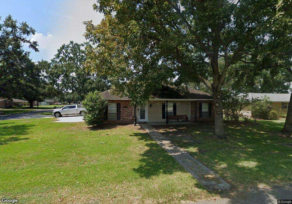
2117 Rowcliff Ave Port Allen, LA 70767
West Baton Rouge Parish NeighborhoodEstimated Value: $234,896 - $282,000
--
Bed
--
Bath
1,788
Sq Ft
$139/Sq Ft
Est. Value
About This Home
This home is located at 2117 Rowcliff Ave, Port Allen, LA 70767 and is currently estimated at $248,224, approximately $138 per square foot. 2117 Rowcliff Ave is a home located in West Baton Rouge Parish with nearby schools including Brusly Elementary School, Lukeville Upper Elementary School, and Brusly Middle School.
Ownership History
Date
Name
Owned For
Owner Type
Purchase Details
Closed on
Jul 31, 2012
Sold by
Morales Morales Denise A Denise A and Morales Rodrigue Denise A
Bought by
Mckenzie Emily L and Mckenzie William D
Current Estimated Value
Home Financials for this Owner
Home Financials are based on the most recent Mortgage that was taken out on this home.
Original Mortgage
$185,576
Outstanding Balance
$127,526
Interest Rate
3.5%
Mortgage Type
FHA
Estimated Equity
$120,698
Create a Home Valuation Report for This Property
The Home Valuation Report is an in-depth analysis detailing your home's value as well as a comparison with similar homes in the area
Home Values in the Area
Average Home Value in this Area
Purchase History
| Date | Buyer | Sale Price | Title Company |
|---|---|---|---|
| Mckenzie Emily L | $189,000 | Multiple |
Source: Public Records
Mortgage History
| Date | Status | Borrower | Loan Amount |
|---|---|---|---|
| Open | Mckenzie Emily L | $185,576 |
Source: Public Records
Tax History Compared to Growth
Tax History
| Year | Tax Paid | Tax Assessment Tax Assessment Total Assessment is a certain percentage of the fair market value that is determined by local assessors to be the total taxable value of land and additions on the property. | Land | Improvement |
|---|---|---|---|---|
| 2024 | $1,330 | $21,230 | $4,000 | $17,230 |
| 2023 | $1,078 | $17,880 | $3,500 | $14,380 |
| 2022 | $1,875 | $17,880 | $3,500 | $14,380 |
| 2021 | $1,918 | $17,880 | $3,500 | $14,380 |
| 2020 | $1,743 | $16,090 | $3,150 | $12,940 |
| 2019 | $2,004 | $17,760 | $1,980 | $15,780 |
| 2018 | $2,040 | $17,760 | $1,980 | $15,780 |
| 2017 | $1,884 | $17,760 | $1,980 | $15,780 |
| 2015 | $1,134 | $13,200 | $1,800 | $11,400 |
| 2014 | $1,115 | $13,200 | $1,800 | $11,400 |
| 2013 | $1,115 | $13,200 | $1,800 | $11,400 |
Source: Public Records
Map
Nearby Homes
- 1959 Fairview Ave
- 4747 Evergreen Dr
- 2218 Silverstone Ave
- 2217 Silverstone Ave
- 2742 Emily Dr
- 2488 Oak Alley Dr
- 1394 Rue Riviere
- 1152 Freeman Ln
- 6455 Louisiana 1
- 6312 Louisiana 1
- 526 Gwin St
- 540 Bourgeois St
- 4000 Lake Beau Pre Blvd Unit 110
- 4000 Lake Beau Pre Blvd Unit 198
- 3926 Northshore Ave
- 5565 Ducros Dr
- 407 Gleason St
- 5024 Myrtle Trail Dr
- 3822 Southpass Ave
- 3839 Southpass Ave
- 2127 Rowcliff Ave
- 4327 Monteigne Ave
- 2065 Rowcliff Ave
- 4334 Dunleith Ave
- 2116 Rowcliff Ave
- 2126 Rowcliff Ave
- 4325 Dunleith Ave
- 4337 Monteigne Ave
- 2074 Rowcliff Ave
- 2064 Rowcliff Dr
- 4335 Dunleith Ave
- 4344 Dunleith Ave
- 4347 Monteigne Ave
- 2157 Rowcliff Ave
- 2055 Rowcliff Ave
- 4345 Dunleith Ave
- 4322 Greenleaf Ave
- 2147 Lansdown Ave
- 2137 Lansdown Ave
- 2054 Rowcliff Ave