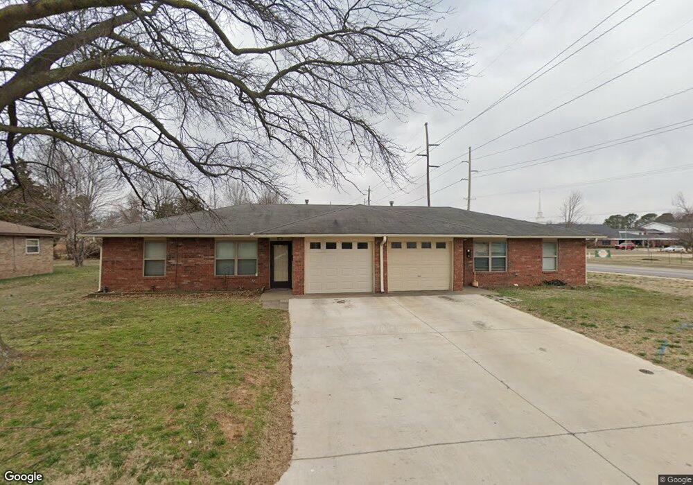
2117 W Emma Ave Springdale, AR 72762
Estimated Value: $236,381 - $322,000
--
Bed
2
Baths
2,024
Sq Ft
$133/Sq Ft
Est. Value
About This Home
This home is located at 2117 W Emma Ave, Springdale, AR 72762 and is currently estimated at $269,595, approximately $133 per square foot. 2117 W Emma Ave is a home located in Washington County with nearby schools including Westwood Elementary School, Southwest Junior High School, and Helen Tyson Middle School.
Ownership History
Date
Name
Owned For
Owner Type
Purchase Details
Closed on
Jun 15, 2009
Sold by
Northcutt Ewing
Bought by
Northcutt Michael A and Northcutt Stephen E
Current Estimated Value
Purchase Details
Closed on
Feb 22, 1994
Bought by
Northcutt, Frances L Rev Trust
Purchase Details
Closed on
Jul 1, 1987
Bought by
Northcutt Ewing and Northcutt Frances L
Purchase Details
Closed on
Mar 3, 1986
Bought by
Lowder Tom R and Lowder Betty R
Purchase Details
Closed on
Jan 1, 1985
Bought by
Mccall Jess L and Mccall Brenda L
Create a Home Valuation Report for This Property
The Home Valuation Report is an in-depth analysis detailing your home's value as well as a comparison with similar homes in the area
Home Values in the Area
Average Home Value in this Area
Purchase History
| Date | Buyer | Sale Price | Title Company |
|---|---|---|---|
| Northcutt Michael A | -- | None Available | |
| Northcutt, Frances L Rev Trust | -- | -- | |
| Northcutt Ewing | $79,000 | -- | |
| Lowder Tom R | $75,000 | -- | |
| Mccall Jess L | -- | -- |
Source: Public Records
Tax History Compared to Growth
Tax History
| Year | Tax Paid | Tax Assessment Tax Assessment Total Assessment is a certain percentage of the fair market value that is determined by local assessors to be the total taxable value of land and additions on the property. | Land | Improvement |
|---|---|---|---|---|
| 2025 | $1,713 | $42,880 | $10,500 | $32,380 |
| 2024 | $1,582 | $42,880 | $10,500 | $32,380 |
| 2023 | $1,478 | $42,880 | $10,500 | $32,380 |
| 2022 | $1,343 | $29,160 | $6,500 | $22,660 |
| 2021 | $1,240 | $29,160 | $6,500 | $22,660 |
| 2020 | $1,137 | $29,160 | $6,500 | $22,660 |
| 2019 | $1,033 | $19,610 | $6,300 | $13,310 |
| 2018 | $1,033 | $19,610 | $6,300 | $13,310 |
| 2017 | $1,024 | $19,610 | $6,300 | $13,310 |
| 2016 | $1,024 | $19,610 | $6,300 | $13,310 |
| 2015 | $1,024 | $19,610 | $6,300 | $13,310 |
| 2014 | $1,213 | $23,240 | $6,300 | $16,940 |
Source: Public Records
Map
Nearby Homes
- 302 S Gutensohn Rd
- 10 Acres McRay Ave
- 2003 Dee Ave
- 2306 Ina Ave
- 2916 Buckeye Ave
- 603 Thomas Blvd
- 1807 Westwood Ave
- 2988 Mimosa Ave
- 2105 Oak Hill Dr
- 510 Maria St
- 404 Henryetta St
- 3602 W Emma Ave
- 2403 Pin Oak Dr
- 604 Maria St
- 324 Liem Cir
- 2001 Pin Oak Dr
- 524 Westford St
- 746 Westbury St
- 309 Andy St
- 1809 Taylor Ave
- 2115 W Emma Ave
- 2116 Westwood Ave
- 2114 Westwood Ave
- 2113 W Emma Ave
- 2111 W Emma Ave Unit A
- 2111 W Emma Ave Unit A & B
- 2110 Westwood Ave
- 2117 Westwood Ave
- 2109 W Emma Ave
- 2108 Westwood Ave
- 2113 Westwood Ave
- 2111 Westwood Ave
- 2106 Westwood Ave
- 2107 W Emma Ave
- 2107 W Emma Ave Unit A & B
- 2109 Westwood Ave
- 2116 Patti Ave Unit A & B
- 2114 Patti Ave
- 2112 Patti Ave
- 2107 Westwood Ave