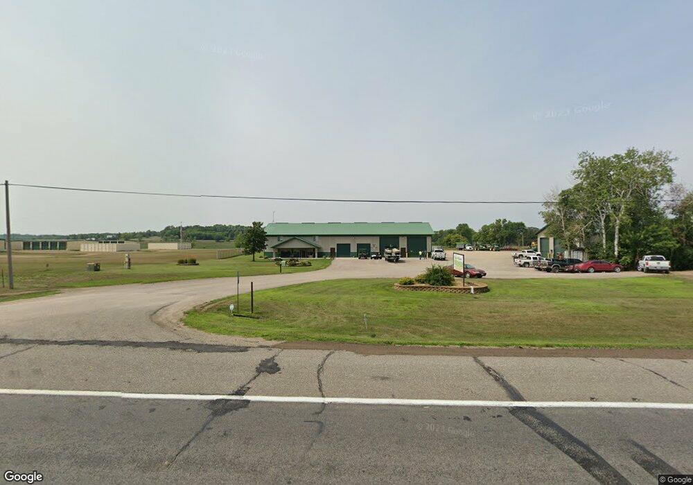
21171 Us 71 Long Prairie, MN 56347
Estimated Value: $239,000 - $793,186
4
Beds
3
Baths
724
Sq Ft
$741/Sq Ft
Est. Value
About This Home
This home is located at 21171 Us 71, Long Prairie, MN 56347 and is currently estimated at $536,797, approximately $741 per square foot. 21171 Us 71 is a home located in Todd County with nearby schools including Red Rock Elementary School, Rex Bell Elementary School, and Long Prairie-Grey Secondary School.
Ownership History
Date
Name
Owned For
Owner Type
Purchase Details
Closed on
Feb 22, 2013
Sold by
Nimmo Wayne M and Nimmo Sandra L
Bought by
Upper Midwest Pumpling Llc
Current Estimated Value
Home Financials for this Owner
Home Financials are based on the most recent Mortgage that was taken out on this home.
Original Mortgage
$165,000
Outstanding Balance
$115,184
Interest Rate
3.38%
Mortgage Type
Future Advance Clause Open End Mortgage
Estimated Equity
$421,613
Purchase Details
Closed on
Dec 13, 2010
Sold by
Warden Arvin L and Warden Cynthia V
Bought by
Nimmo Wayne M and Nimmo Sandra L
Home Financials for this Owner
Home Financials are based on the most recent Mortgage that was taken out on this home.
Original Mortgage
$182,750
Interest Rate
4.16%
Mortgage Type
New Conventional
Create a Home Valuation Report for This Property
The Home Valuation Report is an in-depth analysis detailing your home's value as well as a comparison with similar homes in the area
Home Values in the Area
Average Home Value in this Area
Purchase History
| Date | Buyer | Sale Price | Title Company |
|---|---|---|---|
| Upper Midwest Pumpling Llc | $223,000 | Minnesota Abstract & Title L | |
| Nimmo Wayne M | $215,000 | Home Town Title Llc |
Source: Public Records
Mortgage History
| Date | Status | Borrower | Loan Amount |
|---|---|---|---|
| Open | Upper Midwest Pumpling Llc | $165,000 | |
| Previous Owner | Nimmo Wayne M | $182,750 |
Source: Public Records
Tax History Compared to Growth
Tax History
| Year | Tax Paid | Tax Assessment Tax Assessment Total Assessment is a certain percentage of the fair market value that is determined by local assessors to be the total taxable value of land and additions on the property. | Land | Improvement |
|---|---|---|---|---|
| 2025 | $11,580 | $779,000 | $56,900 | $722,100 |
| 2024 | $10,990 | $871,400 | $56,900 | $814,500 |
| 2023 | $11,026 | $833,300 | $56,900 | $776,400 |
| 2022 | $8,718 | $694,100 | $53,100 | $641,000 |
| 2021 | $7,680 | $546,100 | $53,100 | $493,000 |
| 2020 | $7,024 | $488,300 | $45,300 | $443,000 |
| 2019 | $7,010 | $436,500 | $45,300 | $391,200 |
| 2018 | $4,986 | $431,200 | $41,900 | $389,300 |
| 2017 | $3,790 | $342,900 | $36,900 | $306,000 |
| 2016 | $3,556 | $276,200 | $36,900 | $239,300 |
| 2015 | $3,520 | $0 | $0 | $0 |
| 2014 | -- | $0 | $0 | $0 |
Source: Public Records
Map
Nearby Homes
- 23043 210th St
- 21623 243rd Ave
- 23192 200th St
- 25158 204th St
- 22387 Gooseberry Trail
- 25156 204th St
- 631 Charlotte Ln
- 611 6th St SE
- TBD Elderberry Dr
- XXX 3rd Ave SW
- 320 Todd St S
- 13 2nd Ave SW
- 409 2nd Ave S
- 27 1st Ave S
- 902 Meadow Lark Ln
- 903 Woodland Cir
- 111 3rd St N
- 915 4th Ave NE
- 24974 Hope Dr
- 17886 207th Ave