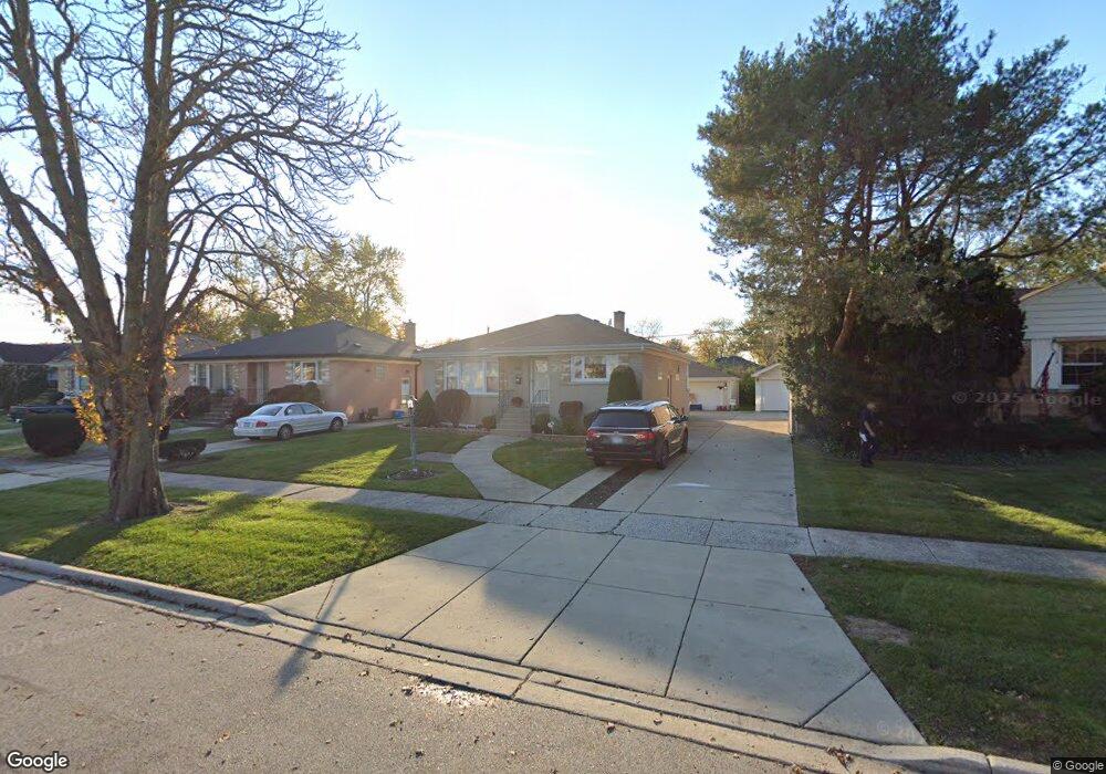
2118 Bristol Ave Westchester, IL 60154
Estimated Value: $326,000 - $380,000
3
Beds
1
Bath
1,284
Sq Ft
$273/Sq Ft
Est. Value
About This Home
This home is located at 2118 Bristol Ave, Westchester, IL 60154 and is currently estimated at $350,103, approximately $272 per square foot. 2118 Bristol Ave is a home located in Cook County with nearby schools including Westchester Primary School, Westchester Intermediate School, and Westchester Middle School.
Ownership History
Date
Name
Owned For
Owner Type
Purchase Details
Closed on
Nov 24, 2021
Sold by
Kubricht Brett M
Bought by
Majkrzak Lee and Sherr Amy
Current Estimated Value
Home Financials for this Owner
Home Financials are based on the most recent Mortgage that was taken out on this home.
Original Mortgage
$247,500
Outstanding Balance
$229,147
Interest Rate
3.62%
Mortgage Type
New Conventional
Estimated Equity
$120,956
Purchase Details
Closed on
Mar 2, 1992
Sold by
Hizon Melvyn L and Hizon Belen M
Bought by
Zougras Peter and Zougras Sheryl J
Create a Home Valuation Report for This Property
The Home Valuation Report is an in-depth analysis detailing your home's value as well as a comparison with similar homes in the area
Home Values in the Area
Average Home Value in this Area
Purchase History
| Date | Buyer | Sale Price | Title Company |
|---|---|---|---|
| Majkrzak Lee | $330,000 | Chicago Title | |
| Zougras Peter | -- | -- |
Source: Public Records
Mortgage History
| Date | Status | Borrower | Loan Amount |
|---|---|---|---|
| Open | Majkrzak Lee | $247,500 |
Source: Public Records
Tax History Compared to Growth
Tax History
| Year | Tax Paid | Tax Assessment Tax Assessment Total Assessment is a certain percentage of the fair market value that is determined by local assessors to be the total taxable value of land and additions on the property. | Land | Improvement |
|---|---|---|---|---|
| 2024 | $7,086 | $27,000 | $4,655 | $22,345 |
| 2023 | $6,193 | $27,000 | $4,655 | $22,345 |
| 2022 | $6,193 | $20,299 | $3,990 | $16,309 |
| 2021 | $5,011 | $20,299 | $3,990 | $16,309 |
| 2020 | $4,962 | $20,299 | $3,990 | $16,309 |
| 2019 | $5,208 | $21,866 | $3,657 | $18,209 |
| 2018 | $5,139 | $21,866 | $3,657 | $18,209 |
| 2017 | $5,056 | $21,866 | $3,657 | $18,209 |
| 2016 | $4,821 | $19,028 | $3,325 | $15,703 |
| 2015 | $4,723 | $19,028 | $3,325 | $15,703 |
| 2014 | $4,629 | $19,028 | $3,325 | $15,703 |
| 2013 | $4,405 | $20,152 | $3,325 | $16,827 |
Source: Public Records
Map
Nearby Homes
- 1900 Manchester Ave
- 1907 Suffolk Ave
- 1840 Gardner Rd
- 1816 Manchester Ave
- 1813 Manchester Ave
- 1847 Newcastle Ave
- 213 Pine Tree Ln
- 205 Huntington Ct
- 1500 Bristol Ave
- 1803 Balmoral Ave
- 4 Garden Dr Unit 4
- 1406 Portsmouth Ave
- 10324 Wight St
- 1427 Homestead Rd Unit H
- 1908 Belleview Ave
- 2246 S 18th Ave
- 1518 Cleveland Ave
- 10461 Dorchester St
- 1436 Kemman Ave
- 2204 W 14th St
- 2112 Bristol Ave
- 2124 Bristol Ave
- 2108 Bristol Ave
- 2130 Bristol Ave
- 2117 Manchester Ave
- 2125 Manchester Ave
- 2113 Manchester Ave
- 2104 Bristol Ave
- 2136 Bristol Ave
- 2131 Manchester Ave
- 2109 Manchester Ave
- 2137 Manchester Ave
- 2119 Bristol Ave
- 2100 Bristol Ave
- 2113 Bristol Ave
- 2125 Bristol Ave
- 2105 Manchester Ave
- 2143 Manchester Ave
- 2105 Bristol Ave