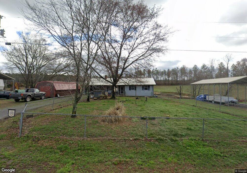
2118 Charles Rd Decatur, TN 37322
Estimated Value: $108,224 - $392,000
--
Bed
2
Baths
1,392
Sq Ft
$172/Sq Ft
Est. Value
About This Home
This home is located at 2118 Charles Rd, Decatur, TN 37322 and is currently estimated at $240,056, approximately $172 per square foot. 2118 Charles Rd is a home located in Meigs County with nearby schools including Meigs County High School.
Ownership History
Date
Name
Owned For
Owner Type
Purchase Details
Closed on
Jul 26, 2010
Sold by
Ziegler John L
Bought by
Ziegler John L
Current Estimated Value
Purchase Details
Closed on
Jan 18, 2010
Sold by
Miller Peggy C
Bought by
Charles Mildred L
Purchase Details
Closed on
Jan 5, 2009
Sold by
Charles Mildred L
Bought by
Miller Peggy C
Purchase Details
Closed on
Jan 4, 2008
Bought by
Miller Peggy C
Purchase Details
Closed on
Jan 8, 1999
Sold by
Charles Mildred L
Bought by
Miller Peggy C
Purchase Details
Closed on
Oct 19, 1959
Bought by
Charles Charles G and Charles Mildred L
Create a Home Valuation Report for This Property
The Home Valuation Report is an in-depth analysis detailing your home's value as well as a comparison with similar homes in the area
Home Values in the Area
Average Home Value in this Area
Purchase History
| Date | Buyer | Sale Price | Title Company |
|---|---|---|---|
| Ziegler John L | -- | -- | |
| Ziegler John L | -- | -- | |
| Charles Mildred L | -- | -- | |
| Charles Mildred L | -- | -- | |
| Miller Peggy C | -- | -- | |
| Miller Peggy C | -- | -- | |
| Miller Peggy C | -- | -- | |
| Miller Peggy C | -- | -- | |
| Miller Peggy C | -- | -- | |
| Miller Peggy C | -- | -- | |
| Charles Charles G | -- | -- |
Source: Public Records
Tax History Compared to Growth
Tax History
| Year | Tax Paid | Tax Assessment Tax Assessment Total Assessment is a certain percentage of the fair market value that is determined by local assessors to be the total taxable value of land and additions on the property. | Land | Improvement |
|---|---|---|---|---|
| 2024 | $295 | $17,450 | $2,075 | $15,375 |
| 2023 | $295 | $17,450 | $2,075 | $15,375 |
| 2022 | $295 | $17,450 | $2,075 | $15,375 |
| 2021 | $295 | $17,450 | $2,075 | $15,375 |
| 2020 | $301 | $17,450 | $2,075 | $15,375 |
| 2019 | $301 | $15,200 | $1,575 | $13,625 |
| 2018 | $301 | $15,200 | $1,575 | $13,625 |
| 2017 | $296 | $14,950 | $1,575 | $13,375 |
| 2016 | $296 | $14,950 | $1,575 | $13,375 |
| 2015 | $280 | $14,950 | $1,575 | $13,375 |
| 2014 | $310 | $16,575 | $1,700 | $14,875 |
Source: Public Records
Map
Nearby Homes
- 000 Charles Rd
- Lot 29 Armstrong Ferry Rd
- Lot 30 Armstrong Ferry Rd
- Lot 31 Armstrong Ferry Rd
- 3491 Armstrong Ferry Rd
- 2519 Lower River Rd
- Lot 7 Lake Forest Dr
- Lot 23 Warren Ln
- 5682 Tennessee 58
- 132 Burkett Chapel Rd
- 783 Lakehaven Cir
- 4875 New Union
- 1985 Blythe Ferry Rd
- 894 Riverbend Dr
- 4875 New Union Rd
- 308 S Crisp Ln
- Lot 39 Bear Creek Rd
- Lot 37 Bear Creek Rd
- 0 Lower Bunker Hill Rd Unit 1146115
- 0 Lower Bunker Hill Rd Unit 1182037
- 2133 Charles Rd
- 2077 Charles Rd
- 2055 Charles Rd
- 12.80 Acre (Tract 8) Johns
- 12.80 Acres (Tract 8) Johns
- 12.80 Acres Johns
- Tract 7 Charles Rd
- 2123 Charles Rd
- 10.20 Acre (Tract 9) Johns
- 10.20 Acres (Tract 9) Johns
- 20.31 Tract 2 H Johns Rd
- 1952 Charles Rd
- 9.88 Acres (Tract 10) Johns
- 9.88 Acres (Tract 10) Johns
- Tract 6 Charles Rd
- Tract 5 Charles Rd
- 3020 Charles Rd
- 1090 Johns Rd