21181 Sassafras Ln Georgetown, DE 19947
Estimated Value: $370,399 - $482,000
3
Beds
1
Bath
1,452
Sq Ft
$278/Sq Ft
Est. Value
About This Home
This home is located at 21181 Sassafras Ln, Georgetown, DE 19947 and is currently estimated at $403,850, approximately $278 per square foot. 21181 Sassafras Ln is a home located in Sussex County with nearby schools including North Georgetown Elementary School, Georgetown Middle School, and Sussex Central High School.
Ownership History
Date
Name
Owned For
Owner Type
Purchase Details
Closed on
Dec 15, 2016
Sold by
Naumann David M
Bought by
Elliott Charles R and Elliott Nancy J
Current Estimated Value
Home Financials for this Owner
Home Financials are based on the most recent Mortgage that was taken out on this home.
Original Mortgage
$225,834
Outstanding Balance
$181,507
Interest Rate
3.37%
Mortgage Type
FHA
Estimated Equity
$222,343
Purchase Details
Closed on
Aug 8, 2013
Sold by
Goodwin Richard H
Bought by
Naumann David M
Create a Home Valuation Report for This Property
The Home Valuation Report is an in-depth analysis detailing your home's value as well as a comparison with similar homes in the area
Home Values in the Area
Average Home Value in this Area
Purchase History
| Date | Buyer | Sale Price | Title Company |
|---|---|---|---|
| Elliott Charles R | $230,000 | None Available | |
| Naumann David M | $110,000 | -- |
Source: Public Records
Mortgage History
| Date | Status | Borrower | Loan Amount |
|---|---|---|---|
| Open | Elliott Charles R | $225,834 |
Source: Public Records
Tax History Compared to Growth
Tax History
| Year | Tax Paid | Tax Assessment Tax Assessment Total Assessment is a certain percentage of the fair market value that is determined by local assessors to be the total taxable value of land and additions on the property. | Land | Improvement |
|---|---|---|---|---|
| 2025 | $402 | $18,450 | $3,000 | $15,450 |
| 2024 | $491 | $18,450 | $3,000 | $15,450 |
| 2023 | $490 | $18,450 | $3,000 | $15,450 |
| 2022 | $473 | $18,450 | $3,000 | $15,450 |
| 2021 | $458 | $18,450 | $3,000 | $15,450 |
| 2020 | $439 | $18,450 | $3,000 | $15,450 |
| 2019 | $437 | $18,450 | $3,000 | $15,450 |
| 2018 | $724 | $18,450 | $0 | $0 |
| 2017 | $730 | $18,450 | $0 | $0 |
| 2016 | $634 | $18,450 | $0 | $0 |
| 2015 | $653 | $18,450 | $0 | $0 |
| 2014 | $643 | $18,450 | $0 | $0 |
Source: Public Records
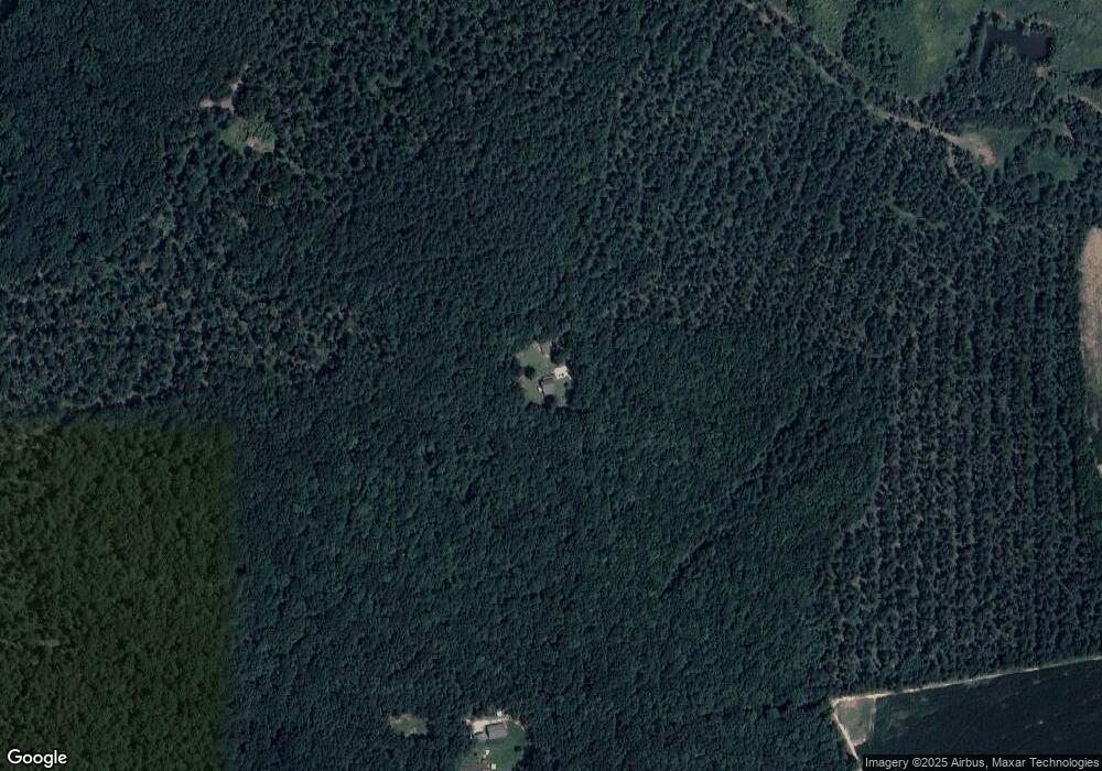
Map
Nearby Homes
- 0 Raccoon Ditch Rd
- 13203 Seashore Hwy
- 20408 Spyglass Cir
- 20410 Spyglass Cir
- 20412 Spyglass Cir
- 20414 Spyglass Cir
- 20416 Spyglass Cir
- 20391 Mizzenmast Ln
- 20397 Mizzenmast Ln
- 20395 Mizzenmast Ln
- 19716 Crows Nest Ct
- Seagrove II Plan at Admiral's Landing
- Seaview II Plan at Admiral's Landing
- 19707 Crows Nest Ct
- HOMESITE 94 R Wilson Loop
- TBB Jones Way Unit GLENSHAW II
- TBB C Stevenson Way Unit CRANBERRY
- TBB R Wilson Loop Unit WHITEHALL II
- HOMESITE 39 R Wilson Loop
- HOMESITE 112 R Wilson Loop
- 21181 Sassafras Ln
- 1 Sassafrass Ln
- 21139 Sassafras Ln
- 21139 Sassafras Ln
- 20998 Emory Walls Rd
- 16421 Seashore Hwy
- 20989 Emory Walls Rd
- 16441 Seashore Hwy
- 16287 Seashore Hwy
- 16416 Seashore Hwy
- 16446 Seashore Hwy
- 16466 Seashore Hwy
- 16392 Seashore Hwy
- 16342 Seashore Hwy
- 16358 Seashore Hwy
- LOT 2 Rt 18 Seashore Hwy
- 16408 Seashore Hwy
- LOT 1 Rt 18 Seashore Hwy
- 16570 Seashore Hwy
- 16500 Seashore Hwy