21185 E Mullan Rd Clinton, MT 59825
Clinton NeighborhoodEstimated Value: $674,000 - $880,000
3
Beds
3
Baths
2,908
Sq Ft
$270/Sq Ft
Est. Value
About This Home
This home is located at 21185 E Mullan Rd, Clinton, MT 59825 and is currently estimated at $785,228, approximately $270 per square foot. 21185 E Mullan Rd is a home located in Missoula County with nearby schools including Clinton Elementary School and Sentinel High School.
Ownership History
Date
Name
Owned For
Owner Type
Purchase Details
Closed on
Apr 1, 2022
Sold by
Wells Fargo Bank Na
Bought by
Bowler Rick J
Current Estimated Value
Home Financials for this Owner
Home Financials are based on the most recent Mortgage that was taken out on this home.
Original Mortgage
$331,000
Interest Rate
5.78%
Mortgage Type
Credit Line Revolving
Purchase Details
Closed on
Jun 17, 2020
Sold by
Bowler Rick J
Bought by
Wells Fargo Bank Na and Home Equity Loan Trusts
Purchase Details
Closed on
Dec 10, 2010
Sold by
Barrier Lending Llc
Bought by
Bowler Rick J
Purchase Details
Closed on
Feb 12, 2010
Sold by
King Martin S
Bought by
Barrier Lending Llc and Lake Road Properties
Create a Home Valuation Report for This Property
The Home Valuation Report is an in-depth analysis detailing your home's value as well as a comparison with similar homes in the area
Home Values in the Area
Average Home Value in this Area
Purchase History
| Date | Buyer | Sale Price | Title Company |
|---|---|---|---|
| Bowler Rick J | $471,000 | None Listed On Document | |
| Wells Fargo Bank Na | -- | None Available | |
| Bowler Rick J | -- | None Available | |
| Barrier Lending Llc | $140,268 | None Available |
Source: Public Records
Mortgage History
| Date | Status | Borrower | Loan Amount |
|---|---|---|---|
| Previous Owner | Bowler Rick J | $331,000 |
Source: Public Records
Tax History
| Year | Tax Paid | Tax Assessment Tax Assessment Total Assessment is a certain percentage of the fair market value that is determined by local assessors to be the total taxable value of land and additions on the property. | Land | Improvement |
|---|---|---|---|---|
| 2025 | $5,154 | $691,900 | $171,700 | $520,200 |
| 2024 | $7,650 | $609,700 | $107,200 | $502,500 |
| 2023 | $5,045 | $789,900 | $109,600 | $680,300 |
| 2022 | $5,836 | $586,600 | $0 | $0 |
| 2021 | $5,739 | $586,600 | $0 | $0 |
| 2020 | $5,429 | $540,200 | $0 | $0 |
| 2019 | $5,534 | $553,720 | $0 | $0 |
| 2018 | $5,004 | $524,790 | $0 | $0 |
| 2017 | $5,042 | $524,790 | $0 | $0 |
| 2016 | $4,931 | $539,440 | $0 | $0 |
| 2015 | $4,598 | $539,440 | $0 | $0 |
| 2014 | $3,818 | $250,781 | $0 | $0 |
Source: Public Records
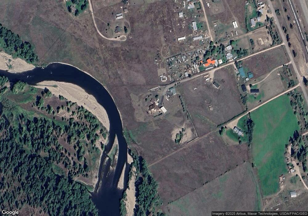
Map
Nearby Homes
- Lot 13 Pamin Loop
- 11055 Silver St
- NHN Stitt St
- Lot 15 Muddler Ct
- 22225 Wallace Creek Rd
- Lot 16 Stonefly Rd
- Lot 12 Stonefly Rd
- Lot 11 Stonefly Rd
- Lot 17 Caddisfly Ct
- Lot 9 Stonefly Rd
- 24570 Stonefly Rd
- Lot 2 Caddisfly Ct
- 14297 Caddisfly Ct
- Nhn Us Highway 10 E
- 25575 Patter Spur Rd S
- Nhn Bonita Ranger Station Rd
- 17755 E Mullan Rd
- 27235 Lazy Springs Rd
- 14200 Turah Rd
- Nhn Bonita Station Rd
- 21191 E Mullan Rd
- 12895 Hawk Ln
- 12867 Hawk Ln
- 12700 Osprey Ln
- 21225 E Mullan Rd
- 21199 E Mullan Rd
- 20525 Killdeer Ln
- 21155 E Mullan Rd
- 20595 Killdeer Ln
- 21255 E Mullan Rd
- 20895 E Mullan Rd
- 20500 Killdeer Ln
- 12425 Hawk Ln
- 21275 E Mullan Rd
- 12407 Hawk Ln
- 12406 Osprey Ln
- 12405 Hawk Ln
- 12425 Osprey Ln
- 20890 Us Highway 10 E
- 20825 E Mullan Rd
Your Personal Tour Guide
Ask me questions while you tour the home.