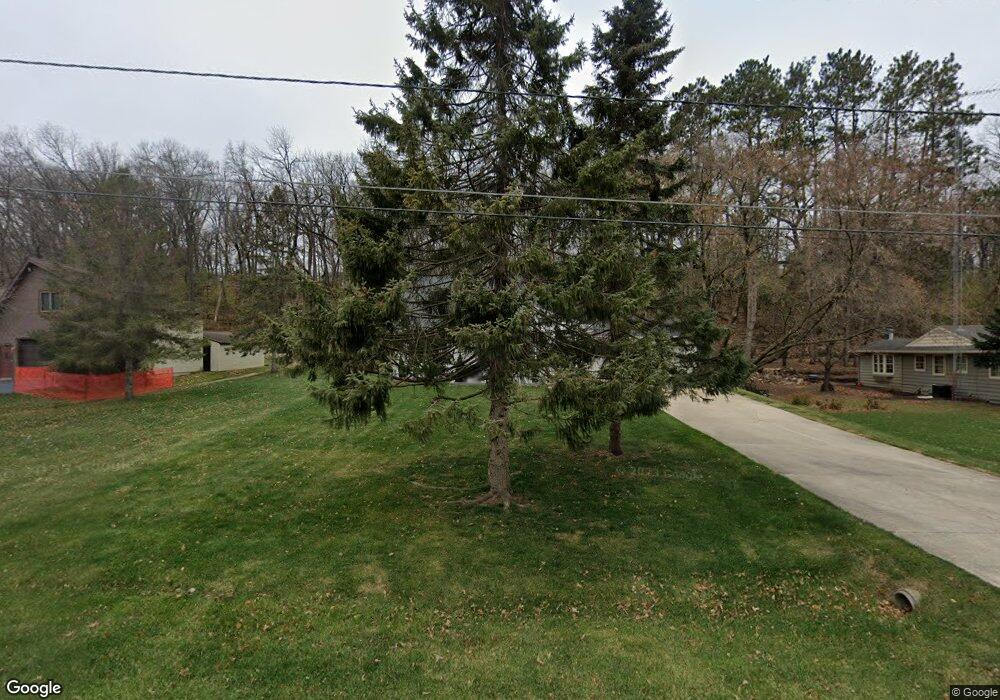
2119 Brook Ln SW Rochester, MN 55902
Estimated Value: $316,000 - $686,000
3
Beds
1
Bath
1,895
Sq Ft
$222/Sq Ft
Est. Value
About This Home
This home is located at 2119 Brook Ln SW, Rochester, MN 55902 and is currently estimated at $420,631, approximately $221 per square foot. 2119 Brook Ln SW is a home located in Olmsted County with nearby schools including Bamber Valley Elementary School, John Adams Middle School, and Mayo Senior High School.
Ownership History
Date
Name
Owned For
Owner Type
Purchase Details
Closed on
Apr 24, 2025
Sold by
Seiver John
Bought by
Seiver Gregory
Current Estimated Value
Home Financials for this Owner
Home Financials are based on the most recent Mortgage that was taken out on this home.
Original Mortgage
$123,391
Outstanding Balance
$122,845
Interest Rate
6.67%
Mortgage Type
New Conventional
Estimated Equity
$297,786
Create a Home Valuation Report for This Property
The Home Valuation Report is an in-depth analysis detailing your home's value as well as a comparison with similar homes in the area
Home Values in the Area
Average Home Value in this Area
Purchase History
| Date | Buyer | Sale Price | Title Company |
|---|---|---|---|
| Seiver Gregory | $500 | Trademark Title |
Source: Public Records
Mortgage History
| Date | Status | Borrower | Loan Amount |
|---|---|---|---|
| Open | Seiver Gregory | $123,391 |
Source: Public Records
Tax History Compared to Growth
Tax History
| Year | Tax Paid | Tax Assessment Tax Assessment Total Assessment is a certain percentage of the fair market value that is determined by local assessors to be the total taxable value of land and additions on the property. | Land | Improvement |
|---|---|---|---|---|
| 2024 | $2,888 | $225,600 | $60,000 | $165,600 |
| 2023 | $2,472 | $211,900 | $50,000 | $161,900 |
| 2022 | $2,382 | $200,300 | $50,000 | $150,300 |
| 2021 | $2,234 | $190,400 | $50,000 | $140,400 |
| 2020 | $2,278 | $180,100 | $50,000 | $130,100 |
| 2019 | $1,754 | $176,900 | $50,000 | $126,900 |
| 2018 | $1,693 | $143,300 | $24,400 | $118,900 |
| 2017 | $1,680 | $139,500 | $24,400 | $115,100 |
| 2016 | $1,628 | $111,100 | $19,900 | $91,200 |
| 2015 | $1,482 | $105,500 | $19,700 | $85,800 |
| 2014 | $1,458 | $103,000 | $19,500 | $83,500 |
| 2012 | -- | $103,500 | $19,562 | $83,938 |
Source: Public Records
Map
Nearby Homes
- 2229 Ponderosa Dr SW
- 1814 Mayowood Rd SW
- 1810 Mayowood Rd SW
- 2236 Ponderosa Dr SW
- 2114 Ponderosa Dr SW
- 1734 Mayowood Rd SW
- 2023 Woodcrest Ln SW
- 1747 Mayowood Rd SW
- 2331 Ponderosa Dr SW
- 2377 Ponderosa Dr SW
- 2018 Edgewood Ct SW
- 1987 Waterford Place SW
- 1975 Waterford Place SW
- 1429 20th St SW
- 1704 Lakeview Dr SW
- 3177 Glenwood Rd SW
- 3125 Glenwood Rd SW
- 2961 Glenwood Rd SW
- 1911 Greenfield Ln SW Unit E
- 2439 Meadow Hills Dr SW
- 2127 Brook Ln SW
- 2111 Brook Ln SW
- 2135 Brook Ln SW
- 2103 Brook Ln SW
- 2201 Brook Ln SW
- 2333 Lenwood Dr SW
- 2325 Lenwood Dr SW
- 2317 Lenwood Dr SW
- 2209 Brook Ln SW
- 2309 Lenwood Dr SW
- 2015 Lenwood Dr SW
- 2025 18th Ave SW
- 2025 18th Ave SW
- 2217 Brook Ln SW
- 2301 Lenwood Dr SW
- 2027 Lenwood Dr SW
- 2015 18th Ave SW
- 2034 Lenwood Dr SW
- 2324 Lenwood Dr SW
- 2225 Ponderosa Dr SW
