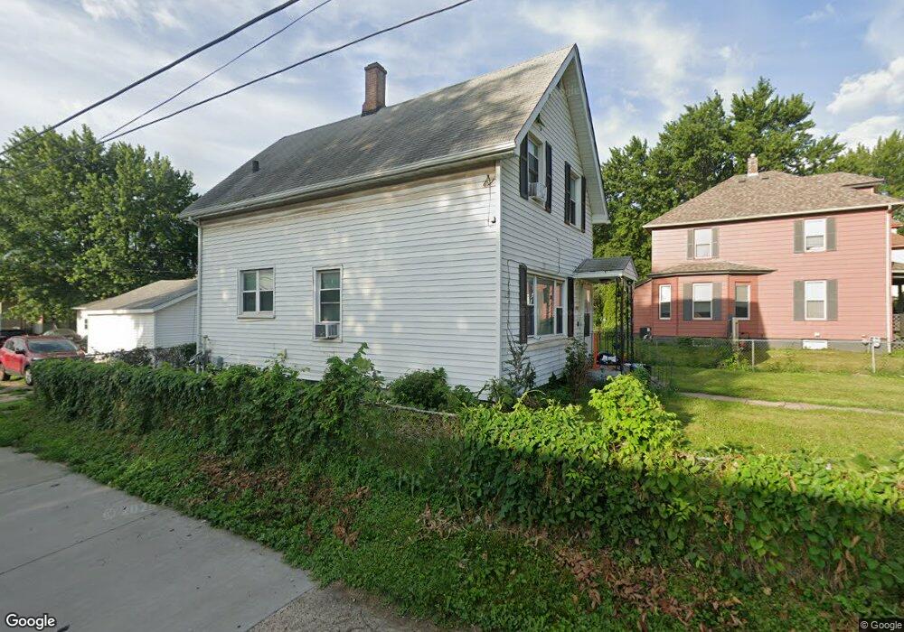
2119 Dixwell St Davenport, IA 52802
West End NeighborhoodEstimated Value: $99,000 - $111,000
4
Beds
2
Baths
1,171
Sq Ft
$90/Sq Ft
Est. Value
About This Home
This home is located at 2119 Dixwell St, Davenport, IA 52802 and is currently estimated at $105,493, approximately $90 per square foot. 2119 Dixwell St is a home located in Scott County with nearby schools including South Christian Elementary School, Caverna Middle School, and Frank L. Smart Intermediate School.
Ownership History
Date
Name
Owned For
Owner Type
Purchase Details
Closed on
Jan 22, 2019
Sold by
Us Bank Na
Bought by
First Financial Group Llc
Current Estimated Value
Purchase Details
Closed on
Dec 12, 2007
Sold by
Kent Robert A and Kent Mary A
Bought by
Erps Mark A
Home Financials for this Owner
Home Financials are based on the most recent Mortgage that was taken out on this home.
Original Mortgage
$62,009
Interest Rate
6.31%
Mortgage Type
FHA
Create a Home Valuation Report for This Property
The Home Valuation Report is an in-depth analysis detailing your home's value as well as a comparison with similar homes in the area
Home Values in the Area
Average Home Value in this Area
Purchase History
| Date | Buyer | Sale Price | Title Company |
|---|---|---|---|
| First Financial Group Llc | $15,621 | -- | |
| Erps Mark A | $62,500 | None Available |
Source: Public Records
Mortgage History
| Date | Status | Borrower | Loan Amount |
|---|---|---|---|
| Previous Owner | Erps Mark A | $62,009 |
Source: Public Records
Tax History Compared to Growth
Tax History
| Year | Tax Paid | Tax Assessment Tax Assessment Total Assessment is a certain percentage of the fair market value that is determined by local assessors to be the total taxable value of land and additions on the property. | Land | Improvement |
|---|---|---|---|---|
| 2025 | $1,324 | $89,020 | $14,030 | $74,990 |
| 2024 | $1,292 | $74,030 | $14,030 | $60,000 |
| 2023 | $1,530 | $74,030 | $14,030 | $60,000 |
| 2022 | $1,538 | $71,670 | $14,030 | $57,640 |
| 2021 | $1,538 | $71,670 | $14,030 | $57,640 |
| 2020 | $1,408 | $65,600 | $14,030 | $51,570 |
| 2019 | $1,499 | $61,820 | $14,030 | $47,790 |
| 2018 | $153 | $61,820 | $14,030 | $47,790 |
| 2017 | $1,138 | $61,820 | $14,030 | $47,790 |
| 2016 | $1,090 | $61,820 | $0 | $0 |
| 2015 | $1,090 | $59,200 | $0 | $0 |
| 2014 | $1,048 | $59,200 | $0 | $0 |
| 2013 | $1,024 | $0 | $0 | $0 |
| 2012 | -- | $58,510 | $11,110 | $47,400 |
Source: Public Records
Map
Nearby Homes
- 2008 Dixwell St
- 117 S Pine St
- 2014 Claussen St
- 2006 Claussen St
- 223 S Lincoln Ave
- 131 S Lincoln Ave
- 2010 W 1st St
- 120 N Pine St
- 2011 W 2nd St
- 2312 W 1st St
- 2312 1/2 W 1st St
- 2502 Rockingham Rd
- 211 Cedar St
- 2537 Boies Ave
- 321 Cedar St
- 1815 W 3rd St
- 2243 W 4th St
- 2614 Mckinley Ave
- 129 S Birchwood Ave
- 2101 W 5th St
- 2127 Dixwell St
- 2129 Dixwell St
- 310 S Pine St
- 312 S Pine St
- 2131 Dixwell St
- 2124 Rockingham Rd
- 2118 Rockingham Rd
- 2128 Dixwell St
- 2118 Dixwell St
- 2114 Dixwell St
- 320 S Pine St
- 2112 Rockingham Rd
- 252 S Pine St
- 2132 Rockingham Rd
- 324 S Pine St
- 245 Dixwell Ct
- 244 S Pine St
- 328 S Pine St
- 2138 Rockingham Rd
- 2039 Dixwell St