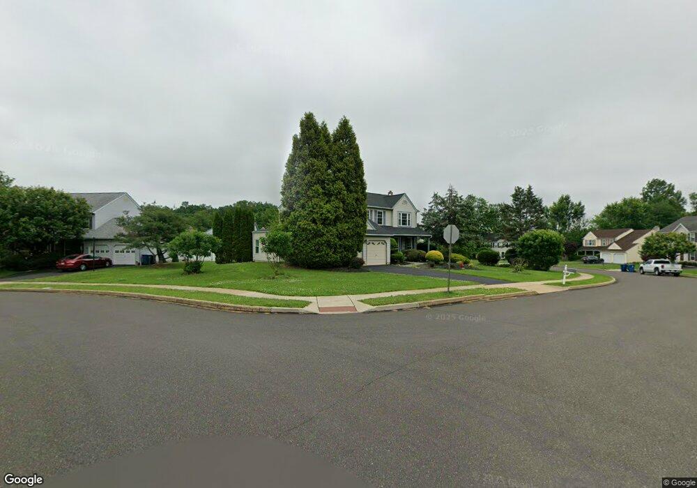
2119 Emily Cir Warrington, PA 18976
Estimated Value: $724,000 - $777,000
4
Beds
3
Baths
2,499
Sq Ft
$299/Sq Ft
Est. Value
About This Home
This home is located at 2119 Emily Cir, Warrington, PA 18976 and is currently estimated at $748,015, approximately $299 per square foot. 2119 Emily Cir is a home located in Bucks County with nearby schools including Jamison Elementary School, Tamanend Middle School, and Central Bucks High School - South.
Ownership History
Date
Name
Owned For
Owner Type
Purchase Details
Closed on
Jun 30, 2006
Sold by
Louison Vince S
Bought by
Clyne Lester O
Current Estimated Value
Home Financials for this Owner
Home Financials are based on the most recent Mortgage that was taken out on this home.
Original Mortgage
$377,910
Interest Rate
8.87%
Mortgage Type
Purchase Money Mortgage
Purchase Details
Closed on
Dec 4, 1991
Bought by
Louison Vince S and Louison Patricia
Create a Home Valuation Report for This Property
The Home Valuation Report is an in-depth analysis detailing your home's value as well as a comparison with similar homes in the area
Home Values in the Area
Average Home Value in this Area
Purchase History
| Date | Buyer | Sale Price | Title Company |
|---|---|---|---|
| Clyne Lester O | $419,900 | None Available | |
| Louison Vince S | $187,700 | -- |
Source: Public Records
Mortgage History
| Date | Status | Borrower | Loan Amount |
|---|---|---|---|
| Previous Owner | Clyne Lester O | $377,910 |
Source: Public Records
Tax History Compared to Growth
Tax History
| Year | Tax Paid | Tax Assessment Tax Assessment Total Assessment is a certain percentage of the fair market value that is determined by local assessors to be the total taxable value of land and additions on the property. | Land | Improvement |
|---|---|---|---|---|
| 2025 | $7,081 | $38,360 | $10,040 | $28,320 |
| 2024 | $7,081 | $38,360 | $10,040 | $28,320 |
| 2023 | $6,556 | $38,360 | $10,040 | $28,320 |
| 2022 | $6,426 | $38,360 | $10,040 | $28,320 |
| 2021 | $6,355 | $38,360 | $10,040 | $28,320 |
| 2020 | $6,355 | $38,360 | $10,040 | $28,320 |
| 2019 | $6,317 | $38,360 | $10,040 | $28,320 |
| 2018 | $6,247 | $38,360 | $10,040 | $28,320 |
| 2017 | $6,162 | $38,360 | $10,040 | $28,320 |
| 2016 | -- | $38,360 | $10,040 | $28,320 |
| 2015 | -- | $38,360 | $10,040 | $28,320 |
| 2014 | -- | $38,360 | $10,040 | $28,320 |
Source: Public Records
Map
Nearby Homes
- 2158 Green Ridge Dr
- 1877 Brook Ln
- 1917 Brook Ln
- 2226 Orchard Hill Cir
- 2018 Buckingham Dr
- 1656 S Ash Cir
- 1447 Bentley Dr
- 1620 Rockcress Dr
- 110 Zircon Ct Unit 14
- 100 Ginko St Unit 303
- 100 Fiddleleaf Ln Unit 104
- 1402 Valley View
- 2234 Evin Dr
- 1618 Mayfield Cir
- 2302 MacIs Cir
- Kingswood Plan at Breton Hill
- Mayweather Plan at Breton Hill
- Cloverfield Plan at Breton Hill
- Raintree Plan at Breton Hill
- Rollins Plan at Breton Hill
- 2115 Emily Cir
- 1595 Gregory Dr
- 2111 Emily Cir
- 2116 Emily Cir
- 2112 Emily Cir
- 1587 Gregory Dr
- 2107 Emily Cir
- 2108 Emily Cir
- 2103 Emily Cir
- 1583 Gregory Dr
- 2104 Emily Cir
- 1579 Gregory Dr
- 1586 Gregory Dr
- 1871 Guinea Ln
- 1850 Guinea Ln
- 1575 Gregory Dr
- 1582 Gregory Dr
- 2125 Robin Dr
- 2135 Warwick Rd
- 1578 Gregory Dr