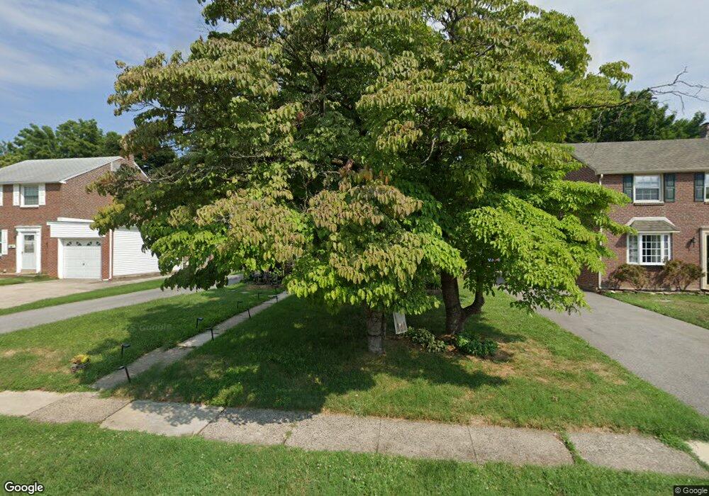
2119 Pershing Ave Morton, PA 19070
Estimated Value: $368,000 - $391,000
3
Beds
2
Baths
1,605
Sq Ft
$239/Sq Ft
Est. Value
About This Home
This home is located at 2119 Pershing Ave, Morton, PA 19070 and is currently estimated at $383,165, approximately $238 per square foot. 2119 Pershing Ave is a home located in Delaware County with nearby schools including Amosland El School, Ridley Middle School, and Ridley High School.
Ownership History
Date
Name
Owned For
Owner Type
Purchase Details
Closed on
Dec 29, 1997
Sold by
Patterson Gerald E and Patterson Luke C
Bought by
Fitzpatrick John J and Fitzpatrick Michele K
Current Estimated Value
Home Financials for this Owner
Home Financials are based on the most recent Mortgage that was taken out on this home.
Original Mortgage
$91,600
Outstanding Balance
$15,827
Interest Rate
7.09%
Mortgage Type
Purchase Money Mortgage
Estimated Equity
$367,338
Create a Home Valuation Report for This Property
The Home Valuation Report is an in-depth analysis detailing your home's value as well as a comparison with similar homes in the area
Home Values in the Area
Average Home Value in this Area
Purchase History
| Date | Buyer | Sale Price | Title Company |
|---|---|---|---|
| Fitzpatrick John J | $114,500 | -- |
Source: Public Records
Mortgage History
| Date | Status | Borrower | Loan Amount |
|---|---|---|---|
| Open | Fitzpatrick John J | $91,600 |
Source: Public Records
Tax History
| Year | Tax Paid | Tax Assessment Tax Assessment Total Assessment is a certain percentage of the fair market value that is determined by local assessors to be the total taxable value of land and additions on the property. | Land | Improvement |
|---|---|---|---|---|
| 2025 | $7,566 | $217,910 | $71,490 | $146,420 |
| 2024 | $7,566 | $217,910 | $71,490 | $146,420 |
| 2023 | $7,237 | $217,910 | $71,490 | $146,420 |
| 2022 | $7,005 | $217,910 | $71,490 | $146,420 |
| 2021 | $10,844 | $217,910 | $71,490 | $146,420 |
| 2020 | $6,530 | $115,590 | $36,410 | $79,180 |
| 2019 | $6,410 | $115,590 | $36,410 | $79,180 |
| 2018 | $6,330 | $115,590 | $0 | $0 |
| 2017 | $6,330 | $115,590 | $0 | $0 |
| 2016 | $634 | $115,590 | $0 | $0 |
| 2015 | $647 | $115,590 | $0 | $0 |
| 2014 | $634 | $115,590 | $0 | $0 |
Source: Public Records
Map
Nearby Homes
- 2143 Haig Ave
- 21 Faraday Ct
- 720 Kedron Ave
- 2158 6th Ave
- 846 Bobwhite Ln
- 1015 Mitchell Ave
- 202-203 Sycamore Ave
- 2 Yale Ave
- 7 & 0 Woodland Ave
- 218 President Ave
- 880 Quaint St
- 216-218 President Ave
- 2379 Mole Rd
- 111 Broad St
- 201 W Sylvan Ave
- 507 School St
- 361 Cedar Ave
- 363 Holmes Rd
- 363 Hutchinson Terrace
- 1828 5th Ave
- 2115 Pershing Ave
- 2123 Pershing Ave
- 2127 Pershing Ave
- 2111 Pershing Ave
- 2118 Haig Ave
- 2126 Haig Ave
- 2128 Haig Ave
- 2107 Pershing Ave
- 2131 Pershing Ave
- 2112 Haig Ave
- 2130 Haig Ave
- 2120 Pershing Ave
- 2124 Pershing Ave
- 2116 Pershing Ave
- 2128 Pershing Ave
- 2135 Pershing Ave
- 2112 Pershing Ave
- 2104 Haig Ave
- 2132 Pershing Ave
- 2108 Pershing Ave
Your Personal Tour Guide
Ask me questions while you tour the home.