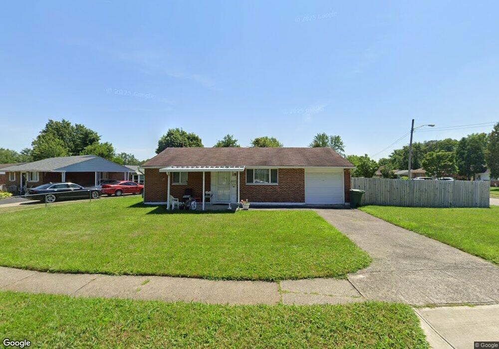
2119 Toni St Columbus, OH 43219
Woodland Holt NeighborhoodEstimated Value: $134,000 - $150,000
3
Beds
1
Bath
960
Sq Ft
$148/Sq Ft
Est. Value
About This Home
This home is located at 2119 Toni St, Columbus, OH 43219 and is currently estimated at $141,718, approximately $147 per square foot. 2119 Toni St is a home located in Franklin County with nearby schools including South Mifflin Stem Academy (K-6), Linden-Mckinley Stem School On Arcadia, and Cesar Chavez College Preparatory School.
Ownership History
Date
Name
Owned For
Owner Type
Purchase Details
Closed on
May 28, 1996
Sold by
Like Robert L
Bought by
Mary J Hall
Current Estimated Value
Home Financials for this Owner
Home Financials are based on the most recent Mortgage that was taken out on this home.
Original Mortgage
$31,600
Outstanding Balance
$2,037
Interest Rate
8.1%
Mortgage Type
New Conventional
Estimated Equity
$139,681
Create a Home Valuation Report for This Property
The Home Valuation Report is an in-depth analysis detailing your home's value as well as a comparison with similar homes in the area
Home Values in the Area
Average Home Value in this Area
Purchase History
| Date | Buyer | Sale Price | Title Company |
|---|---|---|---|
| Mary J Hall | $39,500 | -- |
Source: Public Records
Mortgage History
| Date | Status | Borrower | Loan Amount |
|---|---|---|---|
| Open | Mary J Hall | $31,600 |
Source: Public Records
Tax History Compared to Growth
Tax History
| Year | Tax Paid | Tax Assessment Tax Assessment Total Assessment is a certain percentage of the fair market value that is determined by local assessors to be the total taxable value of land and additions on the property. | Land | Improvement |
|---|---|---|---|---|
| 2024 | $1,345 | $39,760 | $10,360 | $29,400 |
| 2023 | $1,355 | $39,760 | $10,360 | $29,400 |
| 2022 | $434 | $17,120 | $3,330 | $13,790 |
| 2021 | $435 | $17,120 | $3,330 | $13,790 |
| 2020 | $435 | $17,120 | $3,330 | $13,790 |
| 2019 | $278 | $13,340 | $2,660 | $10,680 |
| 2018 | $139 | $13,340 | $2,660 | $10,680 |
| 2017 | $278 | $13,340 | $2,660 | $10,680 |
| 2016 | $570 | $17,360 | $3,220 | $14,140 |
| 2015 | $259 | $17,360 | $3,220 | $14,140 |
| 2014 | $519 | $17,360 | $3,220 | $14,140 |
| 2013 | $313 | $19,285 | $3,570 | $15,715 |
Source: Public Records
Map
Nearby Homes
- 1789 Marston Rd
- 1790 Marston Rd
- 2228 Holt Ave
- 1808 Brentnell Ave
- 1794 Devonshire Rd
- 1978 Argyle Dr
- 1882 Dunning Rd
- 2363 Holt Ave
- 2336 Edenburgh Dr S
- 2398 Dunkirk Dr
- 1991 Woodland Ave
- 1367 Brookcliff Ave
- 2424 Holt Ave
- 2483 Vendome Dr
- 2054 Jermain Dr
- 1275 Woodnell Ave
- 0 Delbert Rd Unit 225030362
- 0 Rankin Ave Unit (Rear)
- 0 Bretton Rd Unit 225029828
- 1549 Delbert Rd