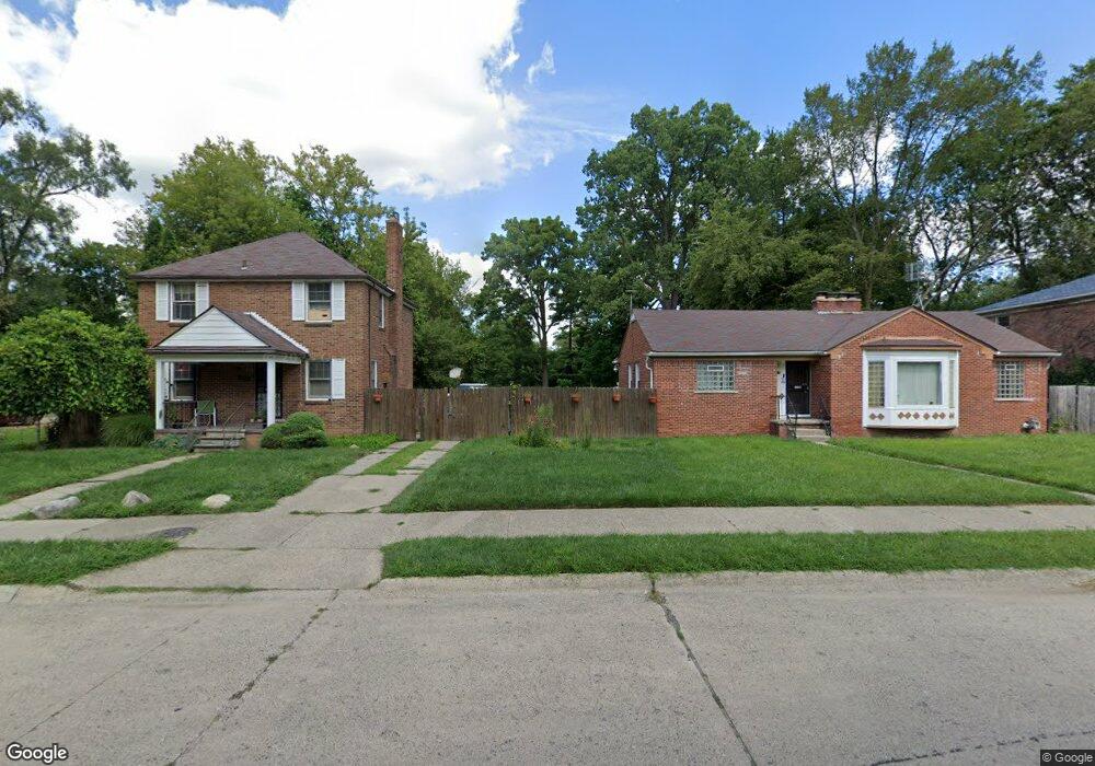
21194 Karl St Detroit, MI 48219
Holcomb Community NeighborhoodEstimated Value: $90,000 - $122,000
3
Beds
2
Baths
1,500
Sq Ft
$71/Sq Ft
Est. Value
About This Home
This home is located at 21194 Karl St, Detroit, MI 48219 and is currently estimated at $106,505, approximately $71 per square foot. 21194 Karl St is a home located in Wayne County with nearby schools including Ralph W. Emerson Elementary-Middle School, Charles L. Spain Elementary-Middle School, and Edward 'Duke' Ellington Conservatory of Music and Art.
Ownership History
Date
Name
Owned For
Owner Type
Purchase Details
Closed on
Apr 24, 2015
Sold by
Freedom Finance & Investment Llc
Bought by
Henley Brenda and Henley Rainey
Current Estimated Value
Purchase Details
Closed on
Jul 25, 2011
Sold by
Allwood Carl
Bought by
Freedom Finance & Investment Llc
Purchase Details
Closed on
Jan 16, 2008
Sold by
Henley Rainey
Bought by
Deutsche Bank National Trust Co and Carrington Mortgage Loan Trust Series 20
Create a Home Valuation Report for This Property
The Home Valuation Report is an in-depth analysis detailing your home's value as well as a comparison with similar homes in the area
Home Values in the Area
Average Home Value in this Area
Purchase History
| Date | Buyer | Sale Price | Title Company |
|---|---|---|---|
| Henley Brenda | -- | None Available | |
| Freedom Finance & Investment Llc | -- | None Available | |
| Allwood Carl | -- | None Available | |
| Deutsche Bank National Trust Co | $64,000 | None Available |
Source: Public Records
Tax History Compared to Growth
Tax History
| Year | Tax Paid | Tax Assessment Tax Assessment Total Assessment is a certain percentage of the fair market value that is determined by local assessors to be the total taxable value of land and additions on the property. | Land | Improvement |
|---|---|---|---|---|
| 2025 | $868 | $48,800 | $0 | $0 |
| 2024 | $868 | $41,300 | $0 | $0 |
| 2023 | $840 | $32,100 | $0 | $0 |
| 2022 | $912 | $25,600 | $0 | $0 |
| 2021 | $1,178 | $18,300 | $0 | $0 |
| 2020 | $882 | $18,700 | $0 | $0 |
| 2019 | $870 | $15,200 | $0 | $0 |
| 2018 | $755 | $13,200 | $0 | $0 |
| 2017 | $163 | $13,500 | $0 | $0 |
| 2016 | $842 | $10,000 | $0 | $0 |
| 2015 | $1,000 | $10,000 | $0 | $0 |
| 2013 | $1,405 | $14,054 | $0 | $0 |
| 2010 | -- | $20,136 | $2,080 | $18,056 |
Source: Public Records
Map
Nearby Homes
- 17743 Trinity St
- 21434 Karl St
- 21455 Pickford St
- 17609 Trinity St
- 18529 Trinity St
- 17581 Trinity St
- 18525 Burt Rd
- 18425 Burgess
- 17555 Trinity St
- 17572 Trinity St
- 18421 Braile St
- 18427 Braile St
- 18443 Braile St
- 18970 Bentler St
- 17583 Pierson St
- 18263 Patton St
- 18269 Patton St
- 18985 Trinity St
- 18550 Pierson St
- 21145 Santa Clara
- 21312 Karl St
- 1725 Westbrook St
- 21180 Karl St
- 21320 Karl St
- 21170 Karl St
- 17783 Westbrook St
- 21338 Karl St
- 17780 Westbrook St
- 17771 Westbrook St
- 21156 Karl St
- 17772 Westbrook St
- 17765 Westbrook St
- 21350 Karl St
- 17762 Westbrook St
- 21195 Pickford St
- 21153 Karl St
- 21201 Pickford St
- 21185 Pickford St
- 21146 Karl St