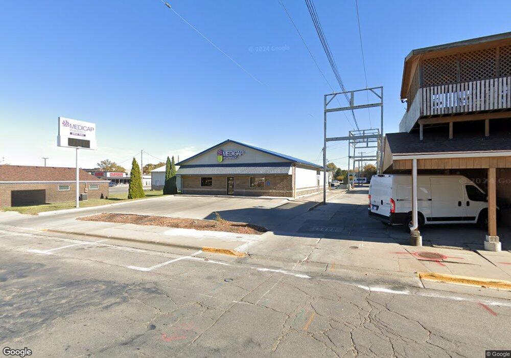
212 1st St N Unit A Newton, IA 50208
Estimated Value: $125,000
--
Bed
--
Bath
3,464
Sq Ft
$36/Sq Ft
Est. Value
About This Home
This home is located at 212 1st St N Unit A, Newton, IA 50208 and is currently priced at $125,000, approximately $36 per square foot. 212 1st St N Unit A is a home located in Jasper County with nearby schools including Thomas Jefferson Elementary School, Woodrow Wilson Elementary School, and Berg Middle School.
Ownership History
Date
Name
Owned For
Owner Type
Purchase Details
Closed on
Oct 24, 2021
Sold by
Ambroson Larry M and Ambroson Dianna R
Bought by
Jomlt Properties Llc
Current Estimated Value
Create a Home Valuation Report for This Property
The Home Valuation Report is an in-depth analysis detailing your home's value as well as a comparison with similar homes in the area
Home Values in the Area
Average Home Value in this Area
Purchase History
| Date | Buyer | Sale Price | Title Company |
|---|---|---|---|
| Jomlt Properties Llc | $350,000 | Nyemaster Goode Pc |
Source: Public Records
Mortgage History
| Date | Status | Borrower | Loan Amount |
|---|---|---|---|
| Closed | Jomlt Properties Llc | $0 |
Source: Public Records
Tax History Compared to Growth
Tax History
| Year | Tax Paid | Tax Assessment Tax Assessment Total Assessment is a certain percentage of the fair market value that is determined by local assessors to be the total taxable value of land and additions on the property. | Land | Improvement |
|---|---|---|---|---|
| 2025 | $7,796 | $293,470 | $34,850 | $258,620 |
| 2024 | $7,796 | $279,990 | $34,850 | $245,140 |
| 2023 | $7,862 | $279,990 | $34,850 | $245,140 |
| 2022 | $8,688 | $229,120 | $34,850 | $194,270 |
| 2021 | $8,590 | $309,150 | $31,610 | $277,540 |
| 2020 | $8,590 | $309,150 | $31,610 | $277,540 |
| 2019 | $8,562 | $309,150 | $0 | $0 |
| 2018 | $8,562 | $309,150 | $0 | $0 |
| 2017 | $8,152 | $306,270 | $0 | $0 |
| 2016 | $8,152 | $306,270 | $0 | $0 |
| 2015 | $8,146 | $329,320 | $0 | $0 |
| 2014 | $9,732 | $400,510 | $0 | $0 |
Source: Public Records
Map
Nearby Homes
- 222 1st St N
- 104 N 2nd Ave E
- 108 N 2nd Ave E
- 112 N 2nd Ave E
- 100 N 2nd Ave W Unit B
- 100 N 2nd Ave W
- 100 N 2nd Ave W Unit A
- 102 N 2nd Ave E
- 118 N 2nd Ave E
- 128 N 2nd Ave E
- 112 N 2nd Ave W
- 105 N 2nd Ave E
- 118 N 2nd Ave W
- 121 N 3rd Ave W
- 122 N 2nd Ave W
- 110 1st St N
- 308 E 2nd St N
- 213 N 3rd Ave E
- 106 1st St N Unit 108
- 104 1st St N