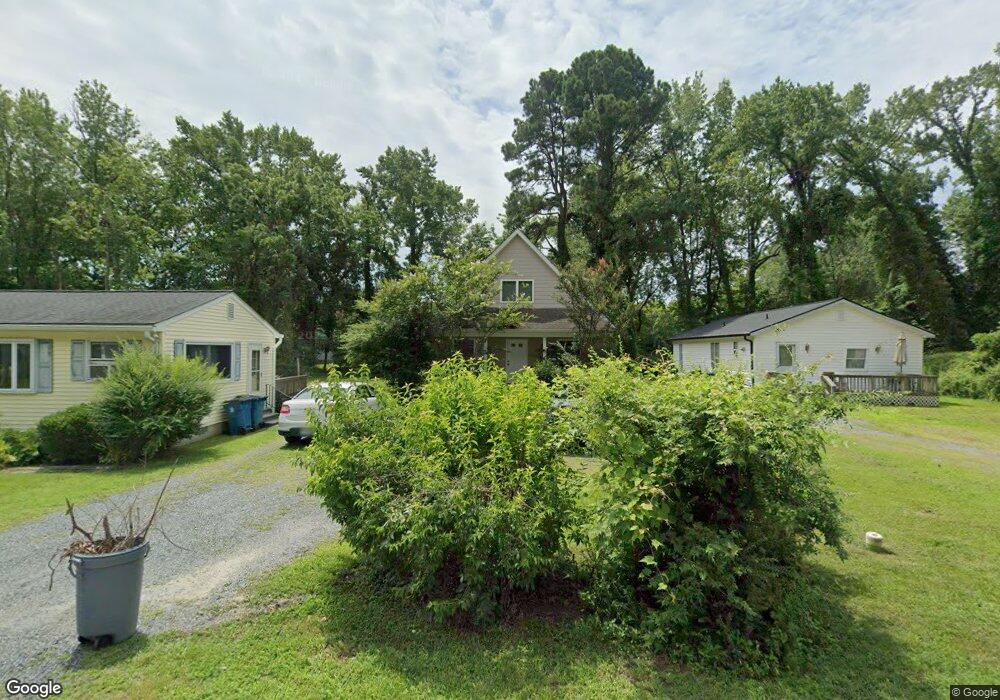
212 Brooks Ln Saint Michaels, MD 21663
Estimated Value: $170,000 - $380,000
--
Bed
--
Bath
1,056
Sq Ft
$242/Sq Ft
Est. Value
About This Home
This home is located at 212 Brooks Ln, Saint Michaels, MD 21663 and is currently estimated at $255,913, approximately $242 per square foot. 212 Brooks Ln is a home located in Talbot County with nearby schools including St. Michaels Elementary School, St. Michaels Middle/High School, and Easton High School.
Ownership History
Date
Name
Owned For
Owner Type
Purchase Details
Closed on
Sep 6, 2023
Sold by
Sms Developers
Bought by
Brm Llc
Current Estimated Value
Home Financials for this Owner
Home Financials are based on the most recent Mortgage that was taken out on this home.
Original Mortgage
$100,000
Outstanding Balance
$91,327
Interest Rate
6.11%
Mortgage Type
New Conventional
Estimated Equity
$164,586
Purchase Details
Closed on
Jun 12, 2012
Sold by
Shortall Purnell
Bought by
Sms Developers Limited Liability Company
Purchase Details
Closed on
Jun 11, 1986
Sold by
Green Lilliam J
Bought by
Shortall Purnell A and Shortall Mary Ann
Create a Home Valuation Report for This Property
The Home Valuation Report is an in-depth analysis detailing your home's value as well as a comparison with similar homes in the area
Home Values in the Area
Average Home Value in this Area
Purchase History
| Date | Buyer | Sale Price | Title Company |
|---|---|---|---|
| Brm Llc | $100,000 | Venture Title | |
| Sms Developers Limited Liability Company | -- | None Available | |
| Shortall Purnell A | $300 | -- |
Source: Public Records
Mortgage History
| Date | Status | Borrower | Loan Amount |
|---|---|---|---|
| Open | Brm Llc | $100,000 |
Source: Public Records
Tax History Compared to Growth
Tax History
| Year | Tax Paid | Tax Assessment Tax Assessment Total Assessment is a certain percentage of the fair market value that is determined by local assessors to be the total taxable value of land and additions on the property. | Land | Improvement |
|---|---|---|---|---|
| 2025 | $1,602 | $147,100 | $52,100 | $95,000 |
| 2024 | $1,602 | $129,733 | $0 | $0 |
| 2023 | $1,335 | $112,367 | $0 | $0 |
| 2022 | $1,089 | $95,000 | $26,300 | $68,700 |
| 2021 | $1,059 | $94,400 | $0 | $0 |
| 2020 | $1,065 | $93,800 | $0 | $0 |
| 2019 | $1,059 | $93,200 | $25,800 | $67,400 |
| 2018 | $1,039 | $93,200 | $25,800 | $67,400 |
| 2017 | $1,006 | $93,200 | $0 | $0 |
| 2016 | $913 | $94,900 | $0 | $0 |
| 2015 | $1,114 | $94,900 | $0 | $0 |
| 2014 | $1,114 | $94,900 | $0 | $0 |
Source: Public Records
Map
Nearby Homes
- 216 Brooks Ln
- 300 Perry St
- 207 Dodson Ave
- 408 Spinnaker Ln
- 106 Grace St
- 100 Mulberry St
- 204 Mulberry St
- 113 Thompson St
- 25500 Chance Farm Rd
- 107 E Chestnut St
- 222 E Chestnut St
- 205 E Chew Ave
- 216 E Chew Ave
- 204 E Marengo St
- Lot 2 Meadow St
- Lot 16A Meadow St
- 207 Seymour Ave
- 9171 Deepwater Point Rd
- 807 Radcliff Ave
- 9235 Martingham Dr