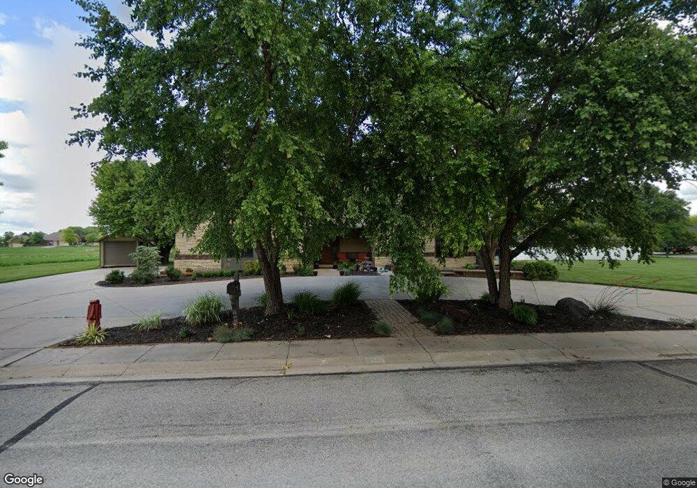
212 Buckskin Rd Hutchinson, KS 67502
Estimated Value: $385,000 - $498,036
4
Beds
4
Baths
2,750
Sq Ft
$164/Sq Ft
Est. Value
About This Home
This home is located at 212 Buckskin Rd, Hutchinson, KS 67502 and is currently estimated at $451,759, approximately $164 per square foot. 212 Buckskin Rd is a home located in Reno County with nearby schools including Morgan Elementary School, Hutchinson Middle School 8, and Hutchinson High School.
Ownership History
Date
Name
Owned For
Owner Type
Purchase Details
Closed on
Oct 1, 2002
Bought by
Schlotterback Matthew and Schlotterback Tina M
Current Estimated Value
Create a Home Valuation Report for This Property
The Home Valuation Report is an in-depth analysis detailing your home's value as well as a comparison with similar homes in the area
Home Values in the Area
Average Home Value in this Area
Purchase History
| Date | Buyer | Sale Price | Title Company |
|---|---|---|---|
| Schlotterback Matthew | $325,000 | -- |
Source: Public Records
Tax History Compared to Growth
Tax History
| Year | Tax Paid | Tax Assessment Tax Assessment Total Assessment is a certain percentage of the fair market value that is determined by local assessors to be the total taxable value of land and additions on the property. | Land | Improvement |
|---|---|---|---|---|
| 2024 | $8,970 | $55,154 | $2,897 | $52,257 |
| 2023 | $8,199 | $50,129 | $2,897 | $47,232 |
| 2022 | $8,174 | $49,151 | $2,897 | $46,254 |
| 2021 | $7,664 | $44,562 | $2,801 | $41,761 |
| 2020 | $8,015 | $53,346 | $2,801 | $50,545 |
| 2019 | $7,997 | $45,609 | $2,750 | $42,859 |
| 2018 | $8,534 | $45,391 | $2,801 | $42,590 |
| 2017 | $7,882 | $44,942 | $2,801 | $42,141 |
| 2016 | $8,645 | $49,313 | $2,721 | $46,592 |
| 2015 | $380 | $52,055 | $3,971 | $48,084 |
| 2014 | $8,149 | $48,267 | $2,091 | $46,176 |
Source: Public Records
Map
Nearby Homes
- 202 Cochise Trail
- 210 Cochise Trail
- 112 Kisiwa Pkwy
- 13 Kisiwa Ct
- 24 Kisiwa Ct
- 2 Kisiwa Ct
- 8 Kisiwa Ct
- 5 Kisiwa Ct
- 9 Kisiwa Ct
- 6 Kisiwa Ct
- 224 Countryside Dr
- 3705 Quivira Dr
- 3903 N Monroe St
- 600 Columbia Dr
- 000 W Kisiwa Village Rd
- 7 W Kisiwa Village Rd
- 3 Kisiwa Village Rd
- 3008 Northwestern Ave
- 3109 N Walnut St
- 3214 Northwestern Ave
- 208 Buckskin Rd
- 215 Buckskin Rd
- 204 Buckskin Rd
- 213 Buckskin Rd
- 207 Buckskin Rd
- 209 Buckskin Rd
- 211 Buckskin Rd
- 205 Buckskin Rd
- 3500 Arrowhead Dr
- 201 Buckskin Rd
- 3404 Arrowhead Dr
- 206 Cochise Trail
- 200 Buckskin Rd
- 3503 Conestoga Dr
- 200 Cochise Trail
- 208 Cochise Trail
- 3402 Arrowhead Dr
- 3503 Arrowhead Dr
- 3601 Conestoga Dr
- 3407 Arrowhead Dr