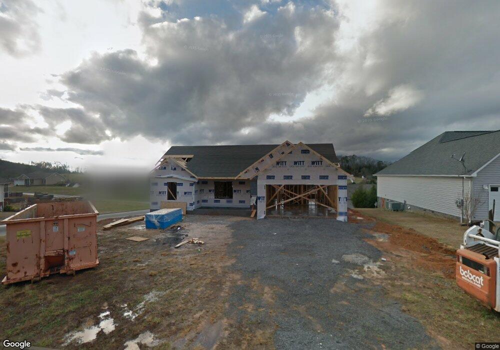
212 Cornerstone Cir Clinton, TN 37716
Estimated Value: $334,572 - $372,000
Studio
--
Bath
1,488
Sq Ft
$240/Sq Ft
Est. Value
About This Home
This home is located at 212 Cornerstone Cir, Clinton, TN 37716 and is currently estimated at $357,393, approximately $240 per square foot. 212 Cornerstone Cir is a home with nearby schools including Norris Elementary School and Norris Middle School.
Ownership History
Date
Name
Owned For
Owner Type
Purchase Details
Closed on
Mar 26, 2014
Sold by
Whited Lynn
Bought by
Randolph Willie B
Current Estimated Value
Home Financials for this Owner
Home Financials are based on the most recent Mortgage that was taken out on this home.
Original Mortgage
$95,000
Outstanding Balance
$71,747
Interest Rate
4.4%
Mortgage Type
New Conventional
Estimated Equity
$285,646
Purchase Details
Closed on
Jan 9, 2012
Sold by
Brookstone Ridge Llc
Bought by
Whited Lynn
Purchase Details
Closed on
Jan 4, 2006
Bought by
Brookstone Ridge Llc
Create a Home Valuation Report for This Property
The Home Valuation Report is an in-depth analysis detailing your home's value as well as a comparison with similar homes in the area
Purchase History
| Date | Buyer | Sale Price | Title Company |
|---|---|---|---|
| Randolph Willie B | $161,000 | -- | |
| Whited Lynn | $28,000 | -- | |
| Brookstone Ridge Llc | $425,000 | -- |
Source: Public Records
Mortgage History
| Date | Status | Borrower | Loan Amount |
|---|---|---|---|
| Open | Randolph Willie B | $95,000 |
Source: Public Records
Tax History
| Year | Tax Paid | Tax Assessment Tax Assessment Total Assessment is a certain percentage of the fair market value that is determined by local assessors to be the total taxable value of land and additions on the property. | Land | Improvement |
|---|---|---|---|---|
| 2025 | $1,209 | $82,275 | $15,000 | $67,275 |
| 2024 | $1,209 | $45,975 | $8,750 | $37,225 |
| 2023 | $1,209 | $45,975 | $0 | $0 |
| 2022 | $1,209 | $45,975 | $8,750 | $37,225 |
| 2021 | $1,209 | $45,975 | $8,750 | $37,225 |
| 2020 | $1,209 | $45,975 | $8,750 | $37,225 |
| 2019 | $1,160 | $40,150 | $7,500 | $32,650 |
| 2018 | $1,120 | $40,150 | $7,500 | $32,650 |
| 2017 | $1,120 | $40,150 | $7,500 | $32,650 |
| 2016 | $1,120 | $40,150 | $7,500 | $32,650 |
| 2015 | -- | $40,150 | $7,500 | $32,650 |
| 2014 | -- | $40,150 | $7,500 | $32,650 |
| 2013 | -- | $32,825 | $0 | $0 |
Source: Public Records
Map
Nearby Homes
- 191 Cornerstone Cir
- 114 Millstone Cir
- 130 Flag Stone Way
- 214 Mossy Rock Rd
- 229 Mossy Rock Rd
- 218 Mossy Rock Rd
- 3525 Norris Fwy Unit 441
- 1566 Mountain Rd
- 2902 Andersonville Hwy
- 285 Joe Owen Rd
- 170 Lone Mountain Rd
- 663 Bethel Rd
- 132 Pine Rd
- 0 Trillium Dr Unit 1325628
- 118 Arcadian Springs Dr
- 120 Arcadian Springs Dr
- 200 Oak Rd
- 106 Crescent Rd
- 224 Oak Rd
- 109 Trillium Dr
- 102 Cornerstone Cir
- 106 Cornerstone Cir
- 0 Brookstone Ridge Unit 685741
- 0 Brookstone Ridge Unit 691642
- 0 Brookstone Ridge Unit 716295
- 0 Brookstone Ridge Unit 716286
- 0 Brookstone Ridge Unit 751803
- 0 Brookstone Ridge Unit 751801
- 0 Brookstone Ridge Unit 751799
- 0 Brookstone Ridge Unit 751804
- 149 Millstone Cir
- 204 Cornerstone Cir
- 403 Brookstone Ridge Dr
- 103 Millstone Cir
- 110 Cornerstone Cir
- 150 Millstone Cir
- 145 Millstone Cir
- 201 Cornerstone Cir
- 200 Cornerstone Cir
- 107 Millstone Cir
Your Personal Tour Guide
Ask me questions while you tour the home.