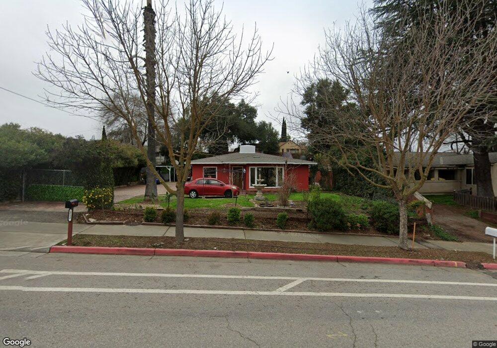
212 Creston Rd Paso Robles, CA 93446
Estimated Value: $465,000 - $617,000
2
Beds
1
Bath
1,100
Sq Ft
$494/Sq Ft
Est. Value
About This Home
This home is located at 212 Creston Rd, Paso Robles, CA 93446 and is currently estimated at $543,178, approximately $493 per square foot. 212 Creston Rd is a home located in San Luis Obispo County with nearby schools including Winifred Pifer Elementary School, Daniel Lewis Middle School, and Paso Robles High School.
Ownership History
Date
Name
Owned For
Owner Type
Purchase Details
Closed on
Sep 26, 1996
Sold by
Federal Home Loan Mortgage Corporation
Bought by
Contreras Jesus and Contreras Carmen
Current Estimated Value
Home Financials for this Owner
Home Financials are based on the most recent Mortgage that was taken out on this home.
Original Mortgage
$74,500
Outstanding Balance
$6,707
Interest Rate
7.87%
Estimated Equity
$536,471
Purchase Details
Closed on
Jun 18, 1996
Sold by
Escobedo Jonathan M and Escobedo Deanna R
Bought by
Federal Home Loan Mortgage Corporation
Create a Home Valuation Report for This Property
The Home Valuation Report is an in-depth analysis detailing your home's value as well as a comparison with similar homes in the area
Purchase History
| Date | Buyer | Sale Price | Title Company |
|---|---|---|---|
| Contreras Jesus | $84,500 | First American Title Ins Co | |
| Federal Home Loan Mortgage Corporation | $89,900 | First American Title Ins Co |
Source: Public Records
Mortgage History
| Date | Status | Borrower | Loan Amount |
|---|---|---|---|
| Open | Contreras Jesus | $74,500 |
Source: Public Records
Tax History
| Year | Tax Paid | Tax Assessment Tax Assessment Total Assessment is a certain percentage of the fair market value that is determined by local assessors to be the total taxable value of land and additions on the property. | Land | Improvement |
|---|---|---|---|---|
| 2025 | $1,422 | $137,589 | $56,984 | $80,605 |
| 2024 | $1,397 | $134,892 | $55,867 | $79,025 |
| 2023 | $1,397 | $132,248 | $54,772 | $77,476 |
| 2022 | $1,375 | $129,656 | $53,699 | $75,957 |
| 2021 | $1,350 | $127,115 | $52,647 | $74,468 |
| 2020 | $1,331 | $125,813 | $52,108 | $73,705 |
| 2019 | $1,310 | $123,347 | $51,087 | $72,260 |
| 2018 | $1,291 | $120,930 | $50,086 | $70,844 |
| 2017 | $1,212 | $118,559 | $49,104 | $69,455 |
| 2016 | $1,187 | $116,236 | $48,142 | $68,094 |
| 2015 | $1,182 | $114,491 | $47,419 | $67,072 |
| 2014 | $1,139 | $112,250 | $46,491 | $65,759 |
Source: Public Records
Map
Nearby Homes
- 420 Creston Rd
- 1503 Las Brisas Dr
- 715 Shannon Hill Dr
- 616 Jackson Dr
- 621 Jackson Dr
- 1446 Park St
- 1545 Park St
- 1803 Pine St
- 711 Knight Ct
- 827 Marlbank Place
- 13625 California 46
- 1444 Oak St
- 845 Creston Rd
- 1212 Mariah Ln
- 828 Spring St
- 2015 Kleck Rd
- 731 Renate Way
- 2145 Park St
- 448 Morgan Ln
- 818 Olive St
- 200 Creston Rd
- 218 Creston Rd
- 142 Capitol Hill Dr
- 100 Capitol Hill Dr
- 104 Capitol Hill Dr
- 140 Capitol Hill Dr
- 138 Creston Rd
- 112 Capitol Hill Dr
- 129 Almond St
- 130 Creston Rd
- 149 Creston Rd
- 300 Creston Rd
- 135 Capitol Hill Dr
- 301 Creston Rd
- 122 Creston Rd
- 121 Almond St Unit a-b
- 121 Almond St Unit 1&2
- 121 Almond St
- 118 Capitol Hill Dr
- 115 Almond St
Your Personal Tour Guide
Ask me questions while you tour the home.