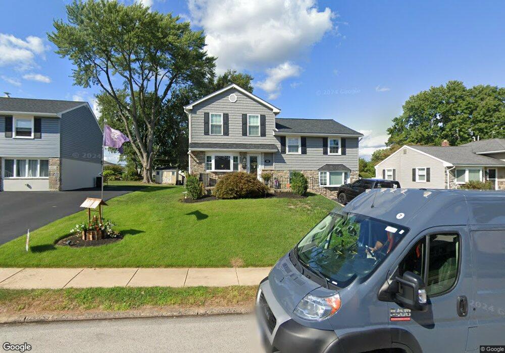
212 Durley Dr Broomall, PA 19008
Estimated Value: $592,393 - $630,000
3
Beds
3
Baths
2,346
Sq Ft
$262/Sq Ft
Est. Value
About This Home
This home is located at 212 Durley Dr, Broomall, PA 19008 and is currently estimated at $614,348, approximately $261 per square foot. 212 Durley Dr is a home located in Delaware County with nearby schools including Loomis Elementary School, Paxon Hollow Middle School, and Marple Newtown Senior High School.
Ownership History
Date
Name
Owned For
Owner Type
Purchase Details
Closed on
May 15, 2009
Sold by
Zarett Steven F and Zarett Carolyn A
Bought by
Janda Eric J and Janda Angela M
Current Estimated Value
Home Financials for this Owner
Home Financials are based on the most recent Mortgage that was taken out on this home.
Original Mortgage
$296,400
Outstanding Balance
$186,970
Interest Rate
4.82%
Mortgage Type
New Conventional
Estimated Equity
$427,378
Purchase Details
Closed on
May 30, 2003
Sold by
Penna Janice
Bought by
Zarett Steven F and Penna Carolyn A
Home Financials for this Owner
Home Financials are based on the most recent Mortgage that was taken out on this home.
Original Mortgage
$211,000
Interest Rate
5.77%
Mortgage Type
Purchase Money Mortgage
Create a Home Valuation Report for This Property
The Home Valuation Report is an in-depth analysis detailing your home's value as well as a comparison with similar homes in the area
Home Values in the Area
Average Home Value in this Area
Purchase History
| Date | Buyer | Sale Price | Title Company |
|---|---|---|---|
| Janda Eric J | $380,000 | None Available | |
| Zarett Steven F | $264,000 | Commonwealth Land Title Insu |
Source: Public Records
Mortgage History
| Date | Status | Borrower | Loan Amount |
|---|---|---|---|
| Open | Janda Eric J | $296,400 | |
| Previous Owner | Zarett Steven F | $211,000 |
Source: Public Records
Tax History
| Year | Tax Paid | Tax Assessment Tax Assessment Total Assessment is a certain percentage of the fair market value that is determined by local assessors to be the total taxable value of land and additions on the property. | Land | Improvement |
|---|---|---|---|---|
| 2025 | $6,645 | $357,860 | $101,850 | $256,010 |
| 2024 | $6,184 | $357,860 | $101,850 | $256,010 |
| 2023 | $5,988 | $357,860 | $101,850 | $256,010 |
| 2022 | $5,875 | $357,860 | $101,850 | $256,010 |
| 2021 | $8,866 | $357,860 | $101,850 | $256,010 |
| 2020 | $4,740 | $164,710 | $53,160 | $111,550 |
| 2019 | $4,683 | $164,710 | $53,160 | $111,550 |
| 2018 | $4,634 | $164,710 | $0 | $0 |
| 2017 | $4,636 | $164,710 | $0 | $0 |
| 2016 | $904 | $164,710 | $0 | $0 |
| 2015 | $904 | $164,710 | $0 | $0 |
| 2014 | $904 | $164,710 | $0 | $0 |
Source: Public Records
Map
Nearby Homes
- 7 Brighton Village Dr
- 1 Brighton Village Dr
- 2037 Woodside Ln
- 1 Lawrence Rd Unit G2B
- 237 Talbot Dr
- 415 Westfield Dr
- 400 Glendale Rd Unit D33
- 400 Glendale Rd Unit G33
- 400 Glendale Rd Unit J13
- 301 S New Ardmore Ave
- 505 Glendale Rd
- 42 Colonial Dr
- 1529 Brierwood Rd
- 2431 Gilbert St
- 113 Glendale Rd
- 10 Claremont Blvd
- 1421 Norman Rd
- 24 Berkley Rd
- 12 Claremont Blvd
- 636 S Eagle Rd
- 210 Durley Dr
- 214 Durley Dr
- 203 Cranbourne Dr
- 208 Durley Dr
- 205 Cranbourne Dr
- 216 Durley Dr
- 201 Cranbourne Dr
- 207 Cranbourne Dr
- 213 Durley Dr
- 211 Durley Dr
- 199 Cranbourne Dr
- 215 Durley Dr
- 206 Durley Dr
- 209 Durley Dr
- 209 Cranbourne Dr
- 218 Durley Dr
- 197 Cranbourne Dr
- 207 Durley Dr
- 219 Durley Dr
- 204 Durley Dr
Your Personal Tour Guide
Ask me questions while you tour the home.