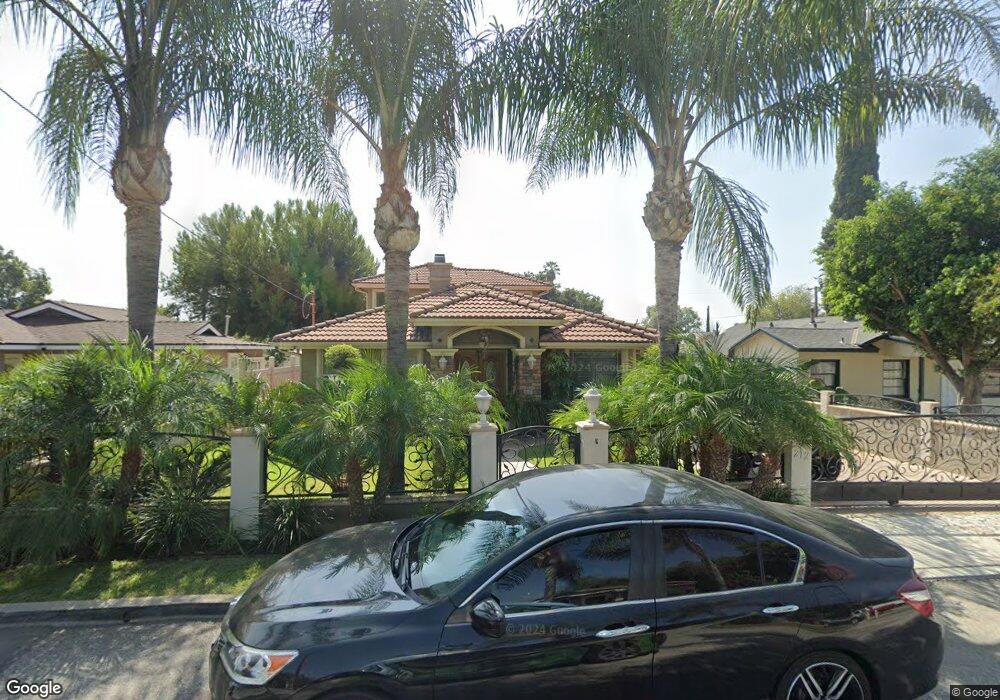
212 E Azusa Ln Azusa, CA 91702
South Azusa NeighborhoodEstimated Value: $646,000 - $1,014,106
3
Beds
1
Bath
922
Sq Ft
$933/Sq Ft
Est. Value
About This Home
This home is located at 212 E Azusa Ln, Azusa, CA 91702 and is currently estimated at $859,777, approximately $932 per square foot. 212 E Azusa Ln is a home located in Los Angeles County with nearby schools including Paramount Elementary School, Center Middle School, and Azusa High School.
Ownership History
Date
Name
Owned For
Owner Type
Purchase Details
Closed on
Aug 1, 2024
Sold by
Corona Raul and Corona Delia
Bought by
Corona Family Revocable Trust and Corona
Current Estimated Value
Purchase Details
Closed on
Jun 28, 2022
Sold by
Raul Corona
Bought by
Corona Della
Purchase Details
Closed on
Oct 17, 2006
Sold by
Harris Anthony S and Harris Laurie E
Bought by
Corona Raul
Home Financials for this Owner
Home Financials are based on the most recent Mortgage that was taken out on this home.
Original Mortgage
$336,000
Interest Rate
6.28%
Mortgage Type
New Conventional
Purchase Details
Closed on
Apr 10, 2002
Sold by
Mason Robert Bruce and Mason Lee Ann Brandy
Bought by
Harris Anthony S
Home Financials for this Owner
Home Financials are based on the most recent Mortgage that was taken out on this home.
Original Mortgage
$185,500
Interest Rate
7.13%
Create a Home Valuation Report for This Property
The Home Valuation Report is an in-depth analysis detailing your home's value as well as a comparison with similar homes in the area
Home Values in the Area
Average Home Value in this Area
Purchase History
| Date | Buyer | Sale Price | Title Company |
|---|---|---|---|
| Corona Family Revocable Trust | -- | None Listed On Document | |
| Corona Della | -- | None Listed On Document | |
| Corona Raul | $420,000 | Orange Coast Title | |
| Harris Anthony S | $180,000 | Commerce Title |
Source: Public Records
Mortgage History
| Date | Status | Borrower | Loan Amount |
|---|---|---|---|
| Previous Owner | Corona Raul | $336,000 | |
| Previous Owner | Harris Anthony S | $185,500 |
Source: Public Records
Tax History
| Year | Tax Paid | Tax Assessment Tax Assessment Total Assessment is a certain percentage of the fair market value that is determined by local assessors to be the total taxable value of land and additions on the property. | Land | Improvement |
|---|---|---|---|---|
| 2025 | $9,981 | $815,247 | $450,160 | $365,087 |
| 2024 | $9,981 | $799,263 | $441,334 | $357,929 |
| 2023 | $9,715 | $783,592 | $432,681 | $350,911 |
| 2022 | $9,595 | $768,229 | $424,198 | $344,031 |
| 2021 | $8,350 | $667,800 | $412,100 | $255,700 |
| 2019 | $7,885 | $632,000 | $390,000 | $242,000 |
| 2018 | $7,703 | $632,000 | $390,000 | $242,000 |
| 2016 | $6,209 | $506,000 | $312,000 | $194,000 |
| 2015 | $6,194 | $506,000 | $312,000 | $194,000 |
| 2014 | $5,884 | $506,000 | $312,000 | $194,000 |
Source: Public Records
Map
Nearby Homes
- 5657 Glenfinnan Ave
- 5844 Glenfinnan Ave
- 349 S Enid Ave
- 605 W 1st St
- 236 N San Gabriel Ave
- 713 S Azusa Ave Unit A
- 5825 N Orangecrest Ave
- 717 S Azusa Ave Unit C
- 227 N Azusa Ave
- 17104 E Orkney St
- 17915 E Newburgh St
- 17049 E Orkney St
- 18347 E Bellefont Dr
- 17934 E Laxford Rd
- 479 Marc Place Unit C
- 716 E Hanks St
- 821 S Cerritos Ave
- 18453 E Armstead St
- 509 N Alameda Ave
- 684 E Lee Place
Your Personal Tour Guide
Ask me questions while you tour the home.