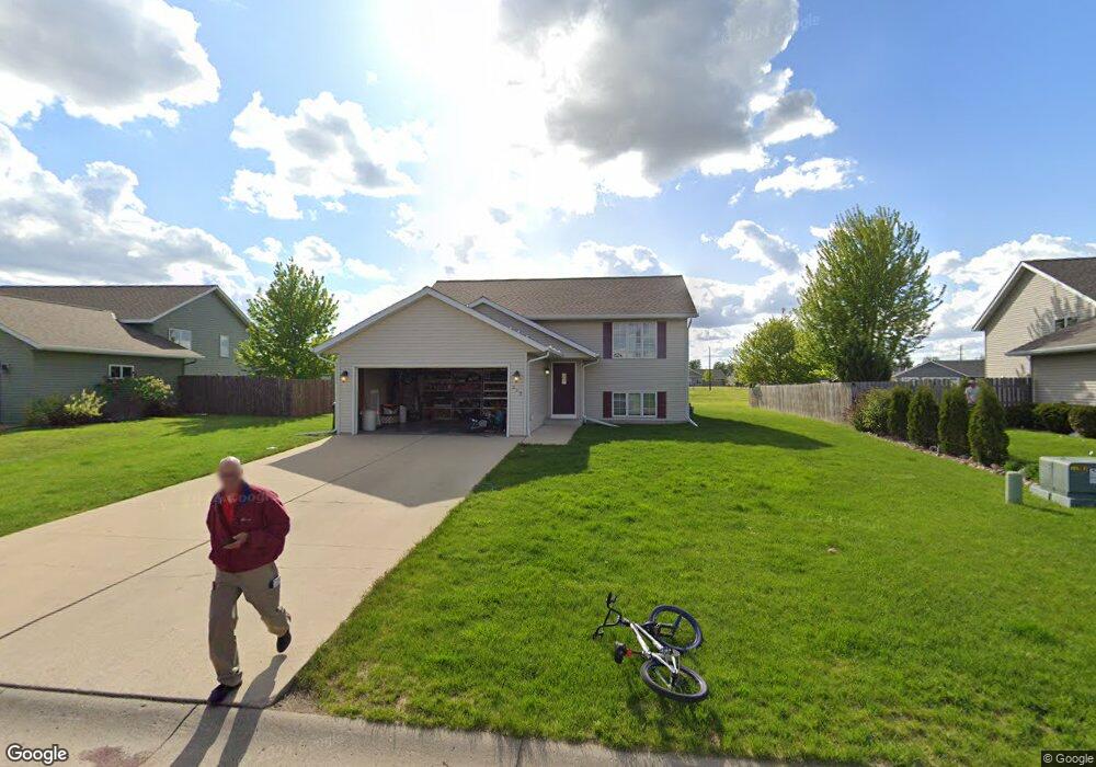
212 Grovebrook Cir Mankato, MN 56001
Country Club Estates NeighborhoodEstimated Value: $337,348 - $371,000
2
Beds
1
Bath
1,092
Sq Ft
$322/Sq Ft
Est. Value
About This Home
This home is located at 212 Grovebrook Cir, Mankato, MN 56001 and is currently estimated at $351,337, approximately $321 per square foot. 212 Grovebrook Cir is a home located in Blue Earth County with nearby schools including Franklin Elementary School, Prairie Winds Middle School, and Mankato East Senior High School.
Ownership History
Date
Name
Owned For
Owner Type
Purchase Details
Closed on
Oct 29, 2009
Sold by
Hiniker Homes Inc
Bought by
Hanerik Nicolas A and Hanerik Amanda K
Current Estimated Value
Home Financials for this Owner
Home Financials are based on the most recent Mortgage that was taken out on this home.
Original Mortgage
$170,848
Outstanding Balance
$111,329
Interest Rate
4.96%
Mortgage Type
FHA
Estimated Equity
$240,008
Create a Home Valuation Report for This Property
The Home Valuation Report is an in-depth analysis detailing your home's value as well as a comparison with similar homes in the area
Home Values in the Area
Average Home Value in this Area
Purchase History
| Date | Buyer | Sale Price | Title Company |
|---|---|---|---|
| Hanerik Nicolas A | $174,000 | -- |
Source: Public Records
Mortgage History
| Date | Status | Borrower | Loan Amount |
|---|---|---|---|
| Open | Hanerik Nicolas A | $170,848 |
Source: Public Records
Tax History Compared to Growth
Tax History
| Year | Tax Paid | Tax Assessment Tax Assessment Total Assessment is a certain percentage of the fair market value that is determined by local assessors to be the total taxable value of land and additions on the property. | Land | Improvement |
|---|---|---|---|---|
| 2025 | $3,288 | $309,400 | $46,000 | $263,400 |
| 2024 | $3,288 | $305,700 | $45,800 | $259,900 |
| 2023 | $3,316 | $298,900 | $45,800 | $253,100 |
| 2022 | $3,048 | $291,800 | $45,800 | $246,000 |
| 2021 | $2,954 | $252,000 | $45,800 | $206,200 |
| 2020 | $2,834 | $234,700 | $45,800 | $188,900 |
| 2019 | $2,674 | $234,700 | $45,800 | $188,900 |
| 2018 | $2,590 | $222,600 | $38,200 | $184,400 |
| 2017 | $2,272 | $217,300 | $38,200 | $179,100 |
| 2016 | $2,204 | $202,300 | $38,200 | $164,100 |
| 2015 | $20 | $197,900 | $38,200 | $159,700 |
| 2014 | $1,816 | $182,900 | $38,200 | $144,700 |
Source: Public Records
Map
Nearby Homes
- 105 Dr
- 320 Grovebrook Ct
- 320 320 Grovebrook Ct
- 814 Pinnacle Path
- 814 814 Pinnacle Path
- 147 147 Waynesborough Way
- 147 Waynesborough Way
- 101 La Costa Ln
- 117 Ct
- 104 104 Castle Pines Ct
- 116 116 Torrey Pines Dr Unit 116 Torrey Pines Dri
- 409 409 Grayhawk Dr
- 0 Tbd N Victory Dr Unit 7036367
- 0 Tbd St Andrews Dr Unit 7037517
- 640 Grayhawk Dr
- 640 640 Grayhawk Dr
- 0 Tbd St Unit 2 Adams Street
- 21 Wood Dr Unit 7
- 29 Wood Dr Unit 11
- 24 Wood Dr Unit 33
- 216 Grovebrook Cir
- 208 Grovebrook Cir
- 125 Bear Path Dr
- 204 Grovebrook Cir
- 220 220 Grovebrook Cir
- 204 204 Grovebrook Cir
- 209 Grovebrook Cir
- 220 Grovebrook Cir
- 129 Bear Path Dr
- 205 Grovebrook Cir
- 200 Grovebrook Cir
- 224 Grovebrook Cir
- 228 228 Groovebrook Cir
- 213 213 Grovebrook Cir
- 213 Grovebrook Cir
- 133 Bear Path Dr
- 228 Grovebrook Cir
- 101 Bear Path Dr
- 201 Grovebrook Cir
- 232 Grovebrook Cir