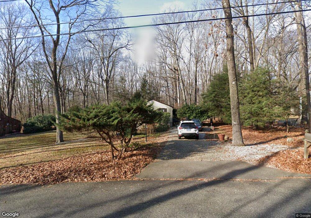
212 Hemlock Point Dr Coventry, CT 06238
Estimated Value: $315,000 - $340,000
3
Beds
1
Bath
1,008
Sq Ft
$325/Sq Ft
Est. Value
About This Home
This home is located at 212 Hemlock Point Dr, Coventry, CT 06238 and is currently estimated at $327,187, approximately $324 per square foot. 212 Hemlock Point Dr is a home located in Tolland County with nearby schools including George Hersey Robertson School, Coventry Grammar School, and Capt. Nathan Hale School.
Ownership History
Date
Name
Owned For
Owner Type
Purchase Details
Closed on
Dec 5, 2025
Sold by
Schnell Wayne C
Bought by
Schnell Wayne C and Schnell Susan C
Current Estimated Value
Purchase Details
Closed on
May 6, 1986
Bought by
Schnell Wayne C
Create a Home Valuation Report for This Property
The Home Valuation Report is an in-depth analysis detailing your home's value as well as a comparison with similar homes in the area
Home Values in the Area
Average Home Value in this Area
Purchase History
| Date | Buyer | Sale Price | Title Company |
|---|---|---|---|
| Schnell Wayne C | -- | -- | |
| Schnell Wayne C | -- | -- | |
| Schnell Wayne C | -- | -- |
Source: Public Records
Mortgage History
| Date | Status | Borrower | Loan Amount |
|---|---|---|---|
| Previous Owner | Schnell Wayne C | $65,000 | |
| Previous Owner | Schnell Wayne C | $65,000 | |
| Previous Owner | Schnell Wayne C | $67,000 |
Source: Public Records
Tax History
| Year | Tax Paid | Tax Assessment Tax Assessment Total Assessment is a certain percentage of the fair market value that is determined by local assessors to be the total taxable value of land and additions on the property. | Land | Improvement |
|---|---|---|---|---|
| 2025 | $4,624 | $194,600 | $59,200 | $135,400 |
| 2024 | $4,090 | $122,800 | $49,000 | $73,800 |
| 2023 | $3,898 | $122,800 | $49,000 | $73,800 |
| 2022 | $3,825 | $122,800 | $49,000 | $73,800 |
| 2021 | $3,825 | $122,800 | $49,000 | $73,800 |
| 2020 | $3,828 | $122,800 | $49,000 | $73,800 |
| 2019 | $3,954 | $122,800 | $49,000 | $73,800 |
| 2018 | $3,767 | $117,000 | $49,000 | $68,000 |
| 2017 | $3,744 | $117,000 | $49,000 | $68,000 |
| 2016 | $3,650 | $117,000 | $49,000 | $68,000 |
| 2015 | $3,650 | $117,000 | $49,000 | $68,000 |
| 2014 | $3,889 | $136,600 | $59,300 | $77,300 |
Source: Public Records
Map
Nearby Homes
- 152 Cheney Ln
- 0 Daly Rd Unit 24146464
- 0 Woodland Rd
- 2478 Main St
- 27 Fox Trail
- 198 Forest Rd
- 17 Ireland Dr
- 0 Hinkel Mae Dr
- 498 Root Rd
- 55 Whites Hill Rd
- 864 Boston Turnpike
- 550 High St
- 499 Woodmont Dr
- 0 Skinner Hill Rd Unit 24077239
- 149 Hillyndale Rd
- 103 S Street Extension
- 106 S Street Extension
- 0 Wheeling Rd Unit 24116879
- 31 Wyllys Farm Rd
- 17 Route 6
- 200 Hemlock Point Dr
- 230 Hemlock Point Dr
- 199 Hemlock Point Dr
- 236 Hemlock Point Dr
- 263 Hemlock Point Dr
- 221 Hemlock Point Dr
- 240 Hemlock Point Dr
- 181 Hemlock Point Dr
- 156 Hemlock Point Dr
- 290 Hemlock Point Dr
- 145 Hemlock Point Dr
- 130 Birch Bend Rd
- 297 Hemlock Point Dr
- 134 Hemlock Point Dr
- 309 Hemlock Point Dr
- 291 Hemlock Point Dr
- 138 Birch Bend Rd
- 308 Hemlock Point Dr
- 120 Hemlock Point Dr
Your Personal Tour Guide
Ask me questions while you tour the home.