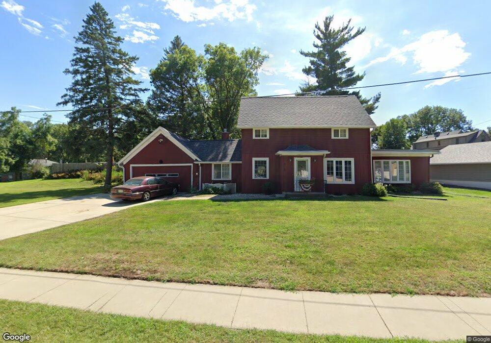
212 Kings Hwy Unit HWY 1/2 Sioux City, IA 51104
North Side Sioux City NeighborhoodEstimated Value: $316,000 - $375,322
3
Beds
4
Baths
2,296
Sq Ft
$150/Sq Ft
Est. Value
About This Home
This home is located at 212 Kings Hwy Unit HWY 1/2, Sioux City, IA 51104 and is currently estimated at $343,331, approximately $149 per square foot. 212 Kings Hwy Unit HWY 1/2 is a home located in Woodbury County with nearby schools including Clark Early Childhood Center, North Middle School, and North High School.
Ownership History
Date
Name
Owned For
Owner Type
Purchase Details
Closed on
Jan 31, 2019
Sold by
Galles Marie A
Bought by
Verzani Matthew and Verzani Sara
Current Estimated Value
Home Financials for this Owner
Home Financials are based on the most recent Mortgage that was taken out on this home.
Original Mortgage
$189,952
Outstanding Balance
$166,321
Interest Rate
4.4%
Mortgage Type
New Conventional
Estimated Equity
$177,010
Create a Home Valuation Report for This Property
The Home Valuation Report is an in-depth analysis detailing your home's value as well as a comparison with similar homes in the area
Home Values in the Area
Average Home Value in this Area
Purchase History
| Date | Buyer | Sale Price | Title Company |
|---|---|---|---|
| Verzani Matthew | $200,000 | -- |
Source: Public Records
Mortgage History
| Date | Status | Borrower | Loan Amount |
|---|---|---|---|
| Open | Verzani Matthew | $189,952 |
Source: Public Records
Tax History Compared to Growth
Tax History
| Year | Tax Paid | Tax Assessment Tax Assessment Total Assessment is a certain percentage of the fair market value that is determined by local assessors to be the total taxable value of land and additions on the property. | Land | Improvement |
|---|---|---|---|---|
| 2025 | $4,096 | $268,100 | $85,100 | $183,000 |
| 2024 | $4,096 | $246,300 | $72,400 | $173,900 |
| 2023 | $3,662 | $246,300 | $72,400 | $173,900 |
| 2022 | $3,662 | $191,400 | $69,700 | $121,700 |
| 2021 | $3,596 | $191,400 | $69,700 | $121,700 |
| 2020 | $3,894 | $197,800 | $79,700 | $118,100 |
| 2019 | $4,496 | $210,900 | $0 | $0 |
| 2018 | $4,438 | $211,100 | $0 | $0 |
| 2017 | $4,438 | $196,500 | $0 | $0 |
| 2016 | $4,136 | $196,500 | $0 | $0 |
| 2015 | $3,911 | $196,500 | $66,400 | $130,100 |
| 2014 | $3,928 | $175,200 | $61,000 | $114,200 |
Source: Public Records
Map
Nearby Homes
- 4412 Manor Cir
- 4608 Chatham Ln
- 4419 Cheyenne Blvd
- 3908 Sylvian Ave
- 1304 46th St
- 610 39th St
- 306 Pelletier Dr
- 3831 Jackson St
- 3801 Pierce St
- 3725 Lindenwood St
- 400 37th Street Place
- 3639 Grandview Blvd
- 3708 S Briar Path
- 3718 S Briar Path
- 3614 Pierce St
- 3613 Nebraska St
- 1303 38th St
- 33543 Fox Ave Unit 3
- 3502 Pierce St
- 310 35th St
- 212 Kings Hwy
- 4526 Perry Way
- 4520 Perry Way
- 207 Kings Hwy
- 211 Kings Hwy
- 4530 Perry Way
- 4514 Perry Way
- 220 Kings Hwy Unit HWY 1/2
- 220 Kings Hwy
- 4534 Perry Way
- 4523 Perry Way
- 4517 Perry Way
- 4527 Perry Way
- 4533 Perry Way
- 4540 Perry Way
- 4540 Perry Way
- 4513 Perry Way
- 4535 Perry Way
- 4509 Perry Way
- 215 Kings Hwy