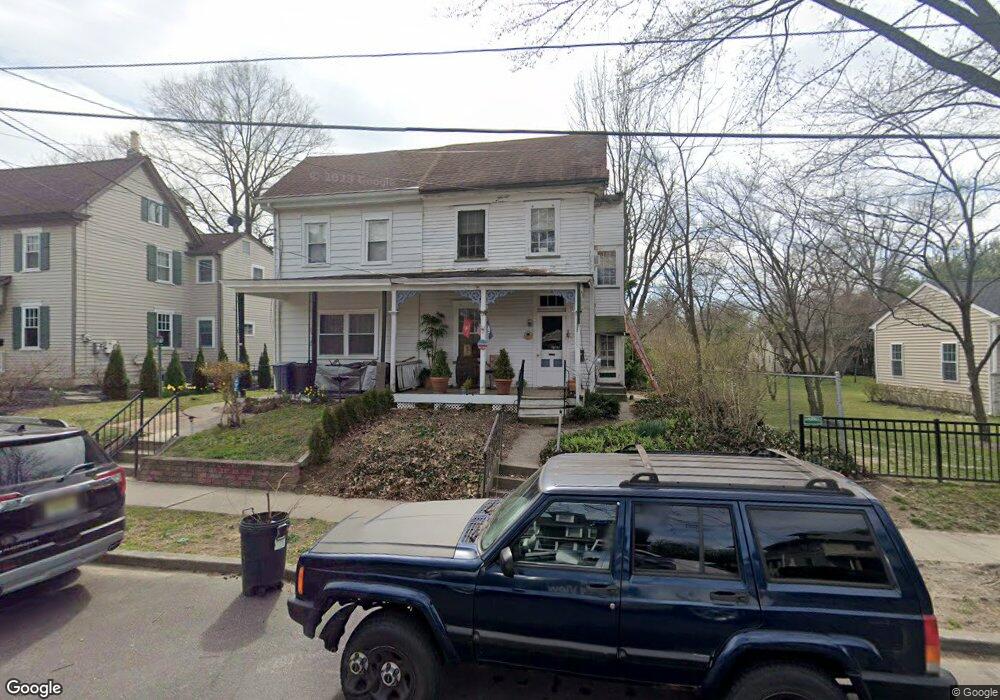
212 Locust St Moorestown, NJ 08057
Estimated Value: $317,636 - $490,000
--
Bed
--
Bath
1,524
Sq Ft
$276/Sq Ft
Est. Value
About This Home
This home is located at 212 Locust St, Moorestown, NJ 08057 and is currently estimated at $421,159, approximately $276 per square foot. 212 Locust St is a home located in Burlington County with nearby schools including George C. Baker Elementary School, Moorestown Upper Elementary School, and William Allen Middle School.
Ownership History
Date
Name
Owned For
Owner Type
Purchase Details
Closed on
May 14, 1999
Sold by
Smythe John J
Bought by
Leto Anthony J and Leto Maureen A
Current Estimated Value
Home Financials for this Owner
Home Financials are based on the most recent Mortgage that was taken out on this home.
Original Mortgage
$50,000
Interest Rate
6.44%
Create a Home Valuation Report for This Property
The Home Valuation Report is an in-depth analysis detailing your home's value as well as a comparison with similar homes in the area
Home Values in the Area
Average Home Value in this Area
Purchase History
| Date | Buyer | Sale Price | Title Company |
|---|---|---|---|
| Leto Anthony J | $90,000 | Mccollum Ins Abstract & Titl |
Source: Public Records
Mortgage History
| Date | Status | Borrower | Loan Amount |
|---|---|---|---|
| Closed | Leto Anthony J | $50,000 |
Source: Public Records
Tax History Compared to Growth
Tax History
| Year | Tax Paid | Tax Assessment Tax Assessment Total Assessment is a certain percentage of the fair market value that is determined by local assessors to be the total taxable value of land and additions on the property. | Land | Improvement |
|---|---|---|---|---|
| 2025 | $4,647 | $163,800 | $81,200 | $82,600 |
| 2024 | $4,506 | $163,800 | $81,200 | $82,600 |
| 2023 | $4,506 | $163,800 | $81,200 | $82,600 |
| 2022 | $4,143 | $154,200 | $0 | $0 |
| 2021 | $3,872 | $144,100 | $0 | $0 |
| 2020 | $3,847 | $144,100 | $0 | $0 |
| 2019 | $3,637 | $163,800 | $81,200 | $82,600 |
| 2018 | $3,282 | $163,800 | $81,200 | $82,600 |
| 2017 | $3,380 | $163,800 | $81,200 | $82,600 |
| 2016 | $3,178 | $156,400 | $81,200 | $75,200 |
| 2015 | $3,140 | $148,600 | $81,200 | $67,400 |
| 2014 | $2,793 | $148,600 | $81,200 | $67,400 |
Source: Public Records
Map
Nearby Homes
- 316 W 3rd St
- 313 Fairview Ave
- 493 N Church St
- 4 W Close
- 129 S Church St
- 308 Farmdale Rd
- 316 Farmdale Rd
- 423 Park Blvd
- 543 Bethel Ave
- 600 Stratford Dr
- 601 Stratford Dr
- 308 Kenwood Dr
- 15 E 2nd St
- 531 Covington Terrace
- 310 S Washington Ave
- 50 E 3rd St
- 66 E 3rd St
- 4 E Sutton Ave
- 82 E 3rd St
- 11 E Sutton Ave