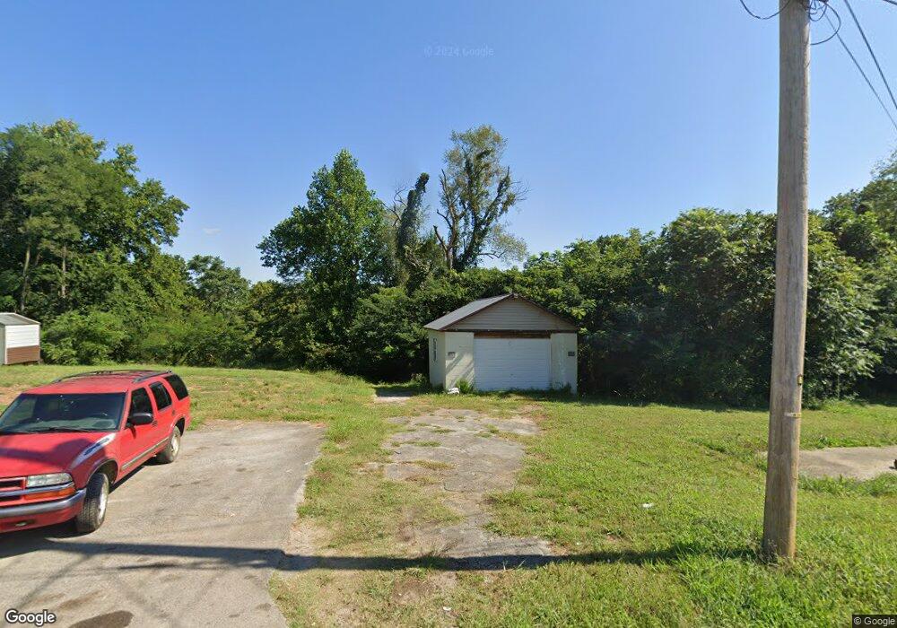
212 N Camp Heights Dr Sparta, TN 38583
Estimated Value: $84,576 - $179,000
--
Bed
--
Bath
--
Sq Ft
5,009
Sq Ft Lot
About This Home
This home is located at 212 N Camp Heights Dr, Sparta, TN 38583 and is currently estimated at $138,859. 212 N Camp Heights Dr is a home located in White County with nearby schools including Woodland Park Elementary School, White County Middle School, and White County High School.
Ownership History
Date
Name
Owned For
Owner Type
Purchase Details
Closed on
Feb 20, 2010
Sold by
Castelli Russelli
Bought by
Franzese Fawn
Current Estimated Value
Purchase Details
Closed on
Aug 31, 1999
Sold by
Johnny Judd and Johnny Gail
Bought by
Russell Castelli
Purchase Details
Closed on
Jul 13, 1995
Sold by
Brenda Madwell
Bought by
Johnny Judd
Purchase Details
Closed on
Apr 24, 1995
Sold by
Harold Johnson J and Harold Betty
Bought by
Velma Vinson
Purchase Details
Closed on
Mar 22, 1985
Bought by
Johnson James Harold and Johnson Betty
Purchase Details
Closed on
Jan 2, 1900
Create a Home Valuation Report for This Property
The Home Valuation Report is an in-depth analysis detailing your home's value as well as a comparison with similar homes in the area
Home Values in the Area
Average Home Value in this Area
Purchase History
| Date | Buyer | Sale Price | Title Company |
|---|---|---|---|
| Franzese Fawn | $9,000 | -- | |
| Russell Castelli | $2,500 | -- | |
| Johnny Judd | $20,500 | -- | |
| Velma Vinson | -- | -- | |
| Brenda Madwell | $15,500 | -- | |
| Johnson James Harold | -- | -- | |
| -- | -- | -- |
Source: Public Records
Tax History Compared to Growth
Tax History
| Year | Tax Paid | Tax Assessment Tax Assessment Total Assessment is a certain percentage of the fair market value that is determined by local assessors to be the total taxable value of land and additions on the property. | Land | Improvement |
|---|---|---|---|---|
| 2025 | -- | $2,775 | $0 | $0 |
| 2024 | -- | $1,425 | $1,125 | $300 |
| 2023 | $0 | $1,425 | $1,125 | $300 |
| 2022 | $42 | $1,425 | $1,125 | $300 |
| 2021 | $42 | $1,425 | $1,125 | $300 |
| 2020 | $42 | $1,425 | $1,125 | $300 |
| 2019 | $26 | $850 | $625 | $225 |
| 2018 | $26 | $850 | $625 | $225 |
| 2017 | $26 | $850 | $625 | $225 |
| 2016 | $26 | $850 | $625 | $225 |
| 2015 | $25 | $850 | $625 | $225 |
| 2014 | -- | $850 | $625 | $225 |
| 2013 | -- | $825 | $625 | $200 |
Source: Public Records
Map
Nearby Homes
- 136 N Camp Heights Dr
- 0 Knowles St
- 231 S Young St
- 196 Dairy Barn
- 244 W Bockman Way
- 147 Mayberry St
- 560 Harley's Ridge
- 612 Harleys Ridge
- Lot 3&4 Harbor Green Place
- 18 N Church St
- 105 N Church St
- 112 N Church St
- 107 N Main St
- 301 W Everett St
- 25 Mayberry St
- 319 Mount View Dr
- 319 Mountain View Dr
- 7 Marshall St
- 21 Ac N Spring St
- 218 N Camp Heights Dr
- 206 N Camp Heights Dr
- 213 N Camp Heights Dr
- 207 N Camp Heights Dr
- 223 N Camp Heights Dr
- 226 N Camp Heights Dr
- 201 N Camp Heights Dr
- 212 S Camp Heights Dr
- 227 N Camp Heights Dr
- 220 S Camp Heights Dr
- 149 B St
- 230 N Camp Heights Dr
- 207 S Camp Heights Dr
- 203 S Camp Heights Dr
- 234 N Camp Heights Dr
- 223 S Camp Heights Dr
- 147 S Camp Heights Dr
- 225 S Camp Heights Dr
- 145 S Camp Heights Dr