212 Noel Ln Mount Airy, NC 27030
Estimated Value: $430,000 - $610,000
4
Beds
3
Baths
3,258
Sq Ft
$160/Sq Ft
Est. Value
About This Home
This home is located at 212 Noel Ln, Mount Airy, NC 27030 and is currently estimated at $519,781, approximately $159 per square foot. 212 Noel Ln is a home located in Surry County with nearby schools including Flat Rock Elementary School, Meadowview Magnet Middle School, and North Surry High School.
Ownership History
Date
Name
Owned For
Owner Type
Purchase Details
Closed on
Jul 21, 2022
Sold by
Grant Hiatt Sr Leon
Bought by
Gudgeon Charmaine L
Current Estimated Value
Home Financials for this Owner
Home Financials are based on the most recent Mortgage that was taken out on this home.
Original Mortgage
$339,500
Outstanding Balance
$323,384
Interest Rate
5.23%
Mortgage Type
New Conventional
Estimated Equity
$196,397
Purchase Details
Closed on
Dec 1, 2004
Purchase Details
Closed on
Apr 1, 1998
Purchase Details
Closed on
Feb 1, 1985
Purchase Details
Closed on
Aug 1, 1983
Purchase Details
Closed on
Sep 1, 1981
Create a Home Valuation Report for This Property
The Home Valuation Report is an in-depth analysis detailing your home's value as well as a comparison with similar homes in the area
Home Values in the Area
Average Home Value in this Area
Purchase History
| Date | Buyer | Sale Price | Title Company |
|---|---|---|---|
| Gudgeon Charmaine L | $450,000 | Faw Folger & Johnson Pc | |
| -- | -- | -- | |
| -- | -- | -- | |
| -- | -- | -- | |
| -- | -- | -- | |
| -- | -- | -- |
Source: Public Records
Mortgage History
| Date | Status | Borrower | Loan Amount |
|---|---|---|---|
| Open | Gudgeon Charmaine L | $339,500 |
Source: Public Records
Tax History Compared to Growth
Tax History
| Year | Tax Paid | Tax Assessment Tax Assessment Total Assessment is a certain percentage of the fair market value that is determined by local assessors to be the total taxable value of land and additions on the property. | Land | Improvement |
|---|---|---|---|---|
| 2024 | $1,588 | $248,530 | $35,000 | $213,530 |
| 2023 | $1,550 | $246,800 | $35,000 | $211,800 |
| 2022 | $1,076 | $168,760 | $34,390 | $134,370 |
| 2021 | $1,095 | $168,760 | $34,390 | $134,370 |
| 2020 | $1,086 | $160,860 | $34,390 | $126,470 |
| 2019 | $1,083 | $160,860 | $0 | $0 |
| 2018 | $1,080 | $160,860 | $0 | $0 |
| 2017 | $1,080 | $160,860 | $0 | $0 |
| 2016 | $1,080 | $160,860 | $0 | $0 |
| 2013 | -- | $161,940 | $0 | $0 |
Source: Public Records
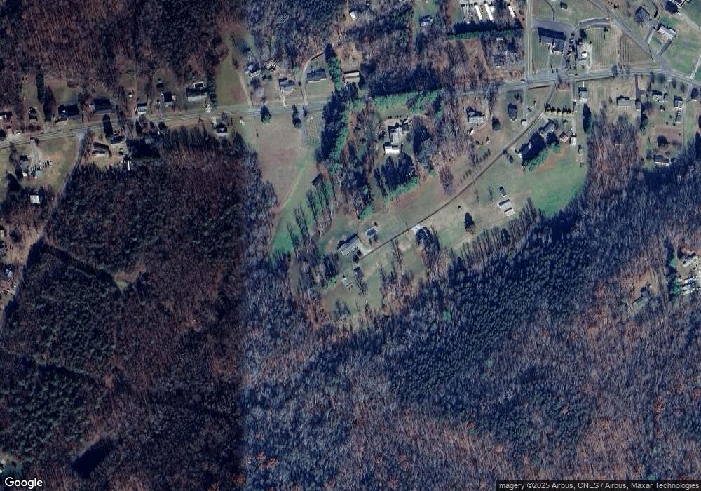
Map
Nearby Homes
- 200 Englewood Trail
- 2384 Westfield Rd
- 2326 Westfield Rd
- 2183 Westfield Rd
- 174 Fairview Dr
- 00 Paynetown Rd
- 177 Janice Dr
- 201 Circle View Rd
- 0 Blue Hollow Rd Unit 23105199
- 000 Blue Hollow Rd Unit 27
- 0 Blue Hollow Rd Unit 33 1176021
- 731 Indian Grove Church Rd
- 0 NE Pine St
- 216 E Devon Dr
- 1513 Pittman St
- 1610 E Wensley Dr
- 00 S Andy Griffith Pkwy
- TBD S Andy Griffith Pkwy
- 845 Linville Rd
- 226 Hamburg St
- 2904 Westfield Rd
- 2928 Westfield Rd
- 2830 Westfield Rd
- 110 Dunwoody Ln
- 2861 Westfield Rd
- 2889 Westfield Rd
- 2938 Westfield Rd
- 131 Noel Ln
- 2845 Westfield Rd
- 2960 Westfield Rd
- 2823 Westfield Rd
- 119 Noel Ln
- 2800 Westfield Rd
- 2811 Westfield Rd
- 151 Dunwoody Ln
- 2953 Westfield Rd
- 2799 Westfield Rd
- 172 Dunwoody Ln
- 2783 Westfield Rd
- 2984 Westfield Rd