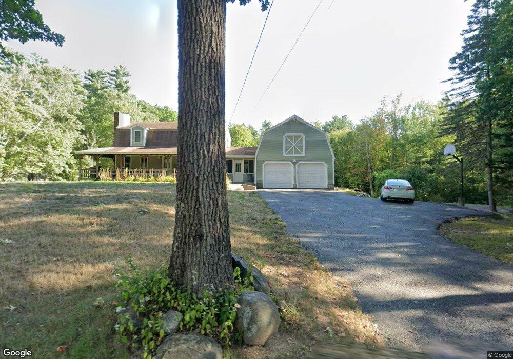
212 Page St Lunenburg, MA 01462
Estimated Value: $442,000 - $526,000
3
Beds
2
Baths
1,269
Sq Ft
$378/Sq Ft
Est. Value
About This Home
This home is located at 212 Page St, Lunenburg, MA 01462 and is currently estimated at $479,568, approximately $377 per square foot. 212 Page St is a home located in Worcester County with nearby schools including Lunenburg Primary School and Lunenburg High School.
Ownership History
Date
Name
Owned For
Owner Type
Purchase Details
Closed on
Nov 19, 2015
Sold by
Dabney Louis
Bought by
Dabney Louis and Dabney Marlene S
Current Estimated Value
Purchase Details
Closed on
Jan 15, 2013
Sold by
Dabney Elena M and Dabney Louis
Bought by
Dabney Louis
Purchase Details
Closed on
Jun 30, 1999
Sold by
Davis Eugenia A
Bought by
Dabney Louis and Dabney Elena M
Home Financials for this Owner
Home Financials are based on the most recent Mortgage that was taken out on this home.
Original Mortgage
$153,968
Interest Rate
7.19%
Mortgage Type
Purchase Money Mortgage
Create a Home Valuation Report for This Property
The Home Valuation Report is an in-depth analysis detailing your home's value as well as a comparison with similar homes in the area
Home Values in the Area
Average Home Value in this Area
Purchase History
| Date | Buyer | Sale Price | Title Company |
|---|---|---|---|
| Dabney Louis | -- | -- | |
| Dabney Louis | -- | -- | |
| Dabney Louis | $155,000 | -- |
Source: Public Records
Mortgage History
| Date | Status | Borrower | Loan Amount |
|---|---|---|---|
| Previous Owner | Dabney Louis | $153,968 | |
| Previous Owner | Dabney Louis | $69,500 |
Source: Public Records
Tax History Compared to Growth
Tax History
| Year | Tax Paid | Tax Assessment Tax Assessment Total Assessment is a certain percentage of the fair market value that is determined by local assessors to be the total taxable value of land and additions on the property. | Land | Improvement |
|---|---|---|---|---|
| 2025 | $5,980 | $416,400 | $156,100 | $260,300 |
| 2024 | $5,529 | $392,100 | $147,300 | $244,800 |
| 2023 | $5,389 | $368,600 | $133,600 | $235,000 |
| 2022 | $5,150 | $299,600 | $111,200 | $188,400 |
| 2020 | $5,141 | $283,700 | $111,200 | $172,500 |
| 2019 | $5,029 | $269,200 | $104,800 | $164,400 |
| 2018 | $4,868 | $247,100 | $104,800 | $142,300 |
| 2017 | $4,655 | $233,000 | $99,200 | $133,800 |
| 2016 | $4,318 | $220,200 | $94,400 | $125,800 |
| 2015 | $3,886 | $212,100 | $89,600 | $122,500 |
Source: Public Records
Map
Nearby Homes
- 330 Arbor St
- 110 Burrage St
- 166 Elmwood Rd
- 878 Flat Hill Rd
- 1790 Massachusetts Ave Unit 25
- 1790 Massachusetts Ave Unit 22
- 828 Lancaster Ave
- 45 Spring St
- 9 Fairview Rd
- 35 Leominster Rd
- 11 Longwood Dr
- 29 West St
- 31 School St
- 70 Kilburn St
- 44 Hemlock Dr
- 659 Reservoir Rd
- 9 Winter Hill Rd
- 185 Hemlock Dr
- 29 Lakeview Ave
- 372 Townsend Harbor Rd