212 Poor Rd New London, NH 03257
Estimated Value: $1,684,000 - $3,186,036
3
Beds
3
Baths
3,245
Sq Ft
$772/Sq Ft
Est. Value
About This Home
This home is located at 212 Poor Rd, New London, NH 03257 and is currently estimated at $2,504,679, approximately $771 per square foot. 212 Poor Rd is a home located in Merrimack County with nearby schools including Kearsarge Elementary School - New London, Kearsarge Regional Middle School, and Kearsarge Regional High School.
Ownership History
Date
Name
Owned For
Owner Type
Purchase Details
Closed on
Jul 8, 2005
Sold by
Bmh T
Bought by
Kinzler Thomas B and Kinzler Carol A
Current Estimated Value
Home Financials for this Owner
Home Financials are based on the most recent Mortgage that was taken out on this home.
Original Mortgage
$300,000
Outstanding Balance
$59,675
Interest Rate
5.71%
Estimated Equity
$2,445,004
Create a Home Valuation Report for This Property
The Home Valuation Report is an in-depth analysis detailing your home's value as well as a comparison with similar homes in the area
Home Values in the Area
Average Home Value in this Area
Purchase History
| Date | Buyer | Sale Price | Title Company |
|---|---|---|---|
| Kinzler Thomas B | $1,100,000 | -- | |
| Kinzler Thomas B | $1,100,000 | -- |
Source: Public Records
Mortgage History
| Date | Status | Borrower | Loan Amount |
|---|---|---|---|
| Open | Kinzler Thomas B | $300,000 | |
| Closed | Kinzler Thomas B | $300,000 |
Source: Public Records
Tax History Compared to Growth
Tax History
| Year | Tax Paid | Tax Assessment Tax Assessment Total Assessment is a certain percentage of the fair market value that is determined by local assessors to be the total taxable value of land and additions on the property. | Land | Improvement |
|---|---|---|---|---|
| 2024 | $29,133 | $2,509,300 | $2,157,400 | $351,900 |
| 2023 | $27,126 | $2,509,300 | $2,157,400 | $351,900 |
| 2022 | $19,473 | $1,227,800 | $1,004,000 | $223,800 |
| 2021 | $18,896 | $1,227,800 | $1,004,000 | $223,800 |
| 2020 | $3,405 | $1,227,800 | $1,004,000 | $223,800 |
| 2019 | $18,061 | $1,227,800 | $1,004,000 | $223,800 |
| 2018 | $3,274 | $1,079,900 | $919,900 | $160,000 |
| 2017 | $17,289 | $1,079,900 | $919,900 | $160,000 |
| 2016 | $3,287 | $1,079,900 | $919,900 | $160,000 |
| 2015 | $16,684 | $1,079,900 | $919,900 | $160,000 |
| 2014 | $16,533 | $1,079,900 | $919,900 | $160,000 |
| 2013 | $15,617 | $1,037,700 | $862,700 | $175,000 |
Source: Public Records
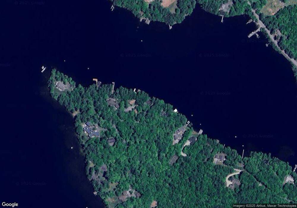
Map
Nearby Homes
- 617 & 619 Route 103a Map 91 Lot 37 38
- 000 Farwell Ln Unit 17
- 26 Otterville Rd
- 195 Pine Hill Rd
- 106-23 Fieldstone Ln
- 273 Forest Acres Rd
- 10 Highland Ridge Rd
- 770 Jobs Creek Rd
- 1024 Lake
- 0 Newport Rd Unit 10
- 1279 Route 11
- 435 Messer Hill Rd
- 0 Prospect Hill Rd
- 0 Little Lake Sunapee Rd Unit 40 4989636
- 71 Hilltop Place
- 253 Lake Ave
- Lot 39 Sunny Ln
- 14 Lake Ave Unit 1
- 57 Sunny Ln
- 8 Stoney Brook Rd
- 224 Poor Rd
- 208 Poor Rd
- 242 Poor Rd
- 178 Poor Rd
- 181 Poor Rd
- 138 Herrick Cove Ln
- 231 Poor Rd
- 122 Herrick Cove Ln
- 112 Herrick Cove Ln
- 177 Poor Rd
- 278 Poor Rd
- 159 Poor Rd
- 157 Poor Rd
- 316 Route 103a
- 191 Sunset Shore
- 91 Herrick Cove Ln
- 378 New Hampshire 103a
- 45 Pilothouse Rd
- 0 Herrick Cove Ln
- 314 Route 103a