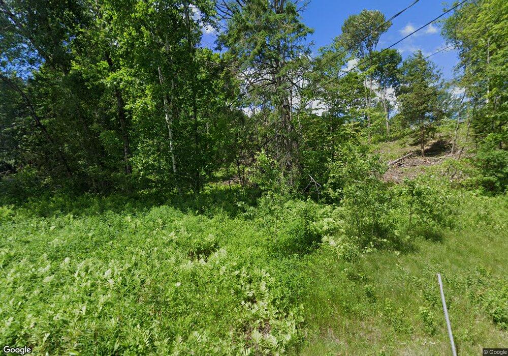
212 Portland St Lancaster, NH 03584
Estimated Value: $307,817 - $428,000
2
Beds
3
Baths
2,131
Sq Ft
$173/Sq Ft
Est. Value
About This Home
This home is located at 212 Portland St, Lancaster, NH 03584 and is currently estimated at $369,204, approximately $173 per square foot. 212 Portland St is a home located in Coos County with nearby schools including Lancaster Elementary School, White Mountains Regional High School, and Sunny Brook Montessori School.
Create a Home Valuation Report for This Property
The Home Valuation Report is an in-depth analysis detailing your home's value as well as a comparison with similar homes in the area
Home Values in the Area
Average Home Value in this Area
Tax History Compared to Growth
Tax History
| Year | Tax Paid | Tax Assessment Tax Assessment Total Assessment is a certain percentage of the fair market value that is determined by local assessors to be the total taxable value of land and additions on the property. | Land | Improvement |
|---|---|---|---|---|
| 2024 | $4,237 | $220,900 | $71,300 | $149,600 |
| 2023 | $3,824 | $220,900 | $71,300 | $149,600 |
| 2022 | $3,430 | $141,200 | $44,100 | $97,100 |
| 2021 | $3,698 | $141,200 | $44,100 | $97,100 |
| 2020 | $0 | $141,200 | $44,100 | $97,100 |
| 2019 | $3,516 | $141,200 | $44,100 | $97,100 |
| 2018 | $3,810 | $141,200 | $44,100 | $97,100 |
| 2017 | $3,521 | $142,700 | $42,000 | $100,700 |
| 2016 | $3,655 | $142,700 | $42,000 | $100,700 |
| 2015 | $3,923 | $142,700 | $42,000 | $100,700 |
| 2014 | $3,339 | $142,700 | $42,000 | $100,700 |
| 2013 | $3,332 | $142,700 | $42,000 | $100,700 |
Source: Public Records
Map
Nearby Homes
- 218 Portland St
- Lot 82 Portland St
- Lot 2 Portland St
- Lot 26 Hartco Ave
- Lot 21 Hartco Ave
- Lot 11 Hartco Ave
- Lot 14 Hartco Ave
- Lot 9 Hartco Ave
- Lot 24 Hartco Ave
- Lot 23 Hartco Ave
- Lot 17 Hartco Ave
- Lot 20 Hartco Ave
- Lot 13 Hartco Ave
- Lot 15 Hartco Ave
- Lot 19 Hartco Ave
- Lot 33-34 Hartco Ave
- Lot 13A Hartco Ave
- Lot 18 Hartco Ave
- Lot 25 Hartco Ave
- Lot 22 Hartco Ave