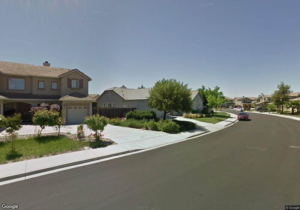
212 Red Pheasant Dr Vacaville, CA 95687
Estimated Value: $707,000 - $826,000
3
Beds
3
Baths
2,080
Sq Ft
$366/Sq Ft
Est. Value
About This Home
This home is located at 212 Red Pheasant Dr, Vacaville, CA 95687 and is currently estimated at $761,665, approximately $366 per square foot. 212 Red Pheasant Dr is a home located in Solano County with nearby schools including Cambridge Elementary School, Golden West Middle School, and Vanden High School.
Ownership History
Date
Name
Owned For
Owner Type
Purchase Details
Closed on
Sep 21, 2004
Sold by
Meritage Homes Of California Inc
Bought by
Serway Cynthia and Price Gaylyne D
Current Estimated Value
Home Financials for this Owner
Home Financials are based on the most recent Mortgage that was taken out on this home.
Original Mortgage
$495,000
Outstanding Balance
$243,924
Interest Rate
5.8%
Mortgage Type
Purchase Money Mortgage
Estimated Equity
$517,741
Create a Home Valuation Report for This Property
The Home Valuation Report is an in-depth analysis detailing your home's value as well as a comparison with similar homes in the area
Home Values in the Area
Average Home Value in this Area
Purchase History
| Date | Buyer | Sale Price | Title Company |
|---|---|---|---|
| Serway Cynthia | $619,000 | First American Title Co |
Source: Public Records
Mortgage History
| Date | Status | Borrower | Loan Amount |
|---|---|---|---|
| Open | Serway Cynthia | $495,000 |
Source: Public Records
Tax History Compared to Growth
Tax History
| Year | Tax Paid | Tax Assessment Tax Assessment Total Assessment is a certain percentage of the fair market value that is determined by local assessors to be the total taxable value of land and additions on the property. | Land | Improvement |
|---|---|---|---|---|
| 2025 | $7,981 | $702,000 | $154,000 | $548,000 |
| 2024 | $7,981 | $702,000 | $154,000 | $548,000 |
| 2023 | $8,021 | $702,000 | $154,000 | $548,000 |
| 2022 | $8,042 | $702,000 | $154,000 | $548,000 |
| 2021 | $7,141 | $625,000 | $143,000 | $482,000 |
| 2020 | $6,297 | $553,000 | $132,000 | $421,000 |
| 2019 | $6,243 | $553,000 | $132,000 | $421,000 |
| 2018 | $5,907 | $522,000 | $130,000 | $392,000 |
| 2017 | $5,553 | $498,000 | $129,000 | $369,000 |
| 2016 | $5,108 | $454,000 | $122,000 | $332,000 |
| 2015 | $4,885 | $433,000 | $121,000 | $312,000 |
| 2014 | $4,595 | $406,000 | $114,000 | $292,000 |
Source: Public Records
Map
Nearby Homes
- 660 Sparrowhawk Dr
- 472 Harvest Cir
- 723 Chateau Cir
- 630 Purple Martin Dr
- 854 Owl Cir
- 360 Baler Cir
- 357 Colonial Cir
- 513 Leveler Dr
- 136 Brockton Ct
- 331 Baler Cir
- 330 Baler Cir
- 336 Baler Cir
- 312 Baler Cir
- Lilac Plan at Roberts Ranch - Carmello II at Roberts Ranch
- Mulberry Plan at Roberts Ranch - Carmello II at Roberts Ranch
- 8000 Carpenter Ct
- 232 Riverdale Ave
- 190 Fairview Dr
- 972 Carroll Way
- 976 Carroll Way
- 206 Red Pheasant Dr
- 224 Red Pheasant Dr
- 1055 Star Lilly Ct
- 200 Red Pheasant Dr
- 630 Sparrowhawk Dr
- 1049 Star Lilly Ct
- 219 Red Pheasant Dr
- 236 Red Pheasant Dr
- 225 Red Pheasant Dr
- 213 Red Pheasant Dr
- 231 Red Pheasant Dr
- 207 Red Pheasant Dr
- 636 Sparrowhawk Dr
- 242 Red Pheasant Dr
- 237 Red Pheasant Dr
- 1043 Star Lilly Ct
- 280 Sage Sparrow Cir
- 286 Sage Sparrow Cir
- 274 Sage Sparrow Cir
- 292 Sage Sparrow Cir