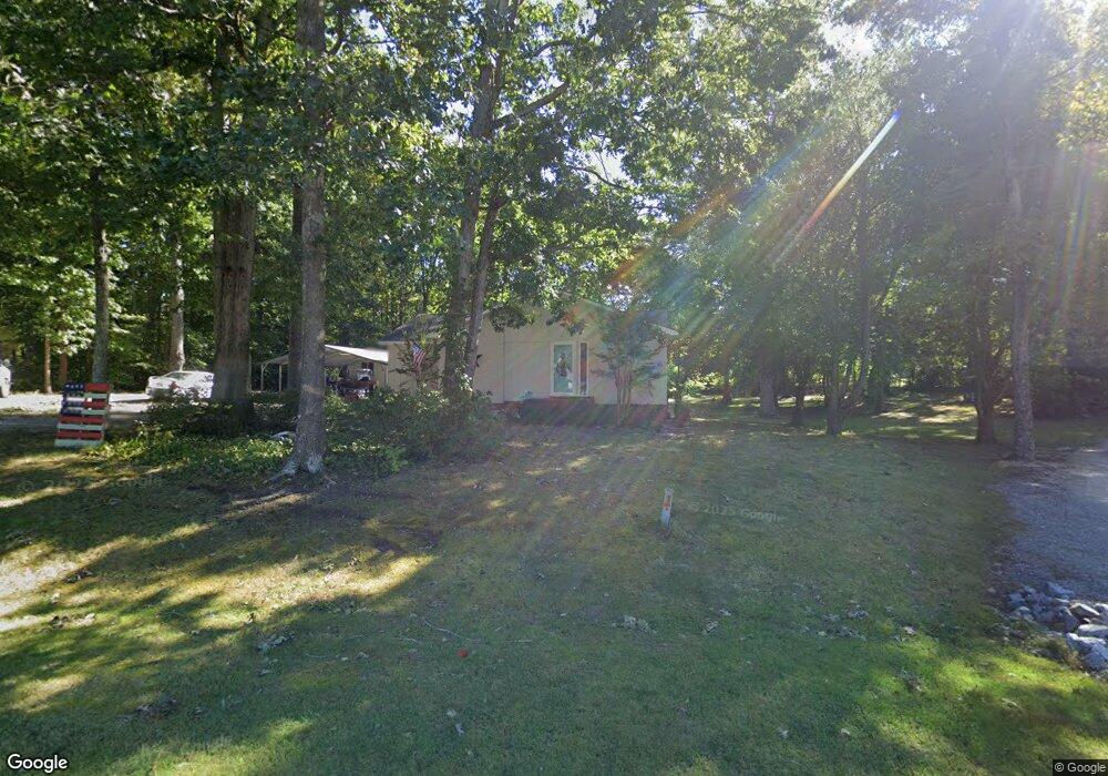
212 Robin Cir Archdale, NC 27263
Estimated Value: $257,000 - $289,000
3
Beds
2
Baths
1,518
Sq Ft
$180/Sq Ft
Est. Value
About This Home
This home is located at 212 Robin Cir, Archdale, NC 27263 and is currently estimated at $272,627, approximately $179 per square foot. 212 Robin Cir is a home located in Randolph County with nearby schools including Trindale Elementary School, Wheatmore Middle School, and Wheatmore High School.
Ownership History
Date
Name
Owned For
Owner Type
Purchase Details
Closed on
Jun 1, 2021
Sold by
White Pamela Staton and White Larry P
Bought by
White Braxton A and White Stephanie M
Current Estimated Value
Home Financials for this Owner
Home Financials are based on the most recent Mortgage that was taken out on this home.
Original Mortgage
$60,325
Outstanding Balance
$54,617
Interest Rate
2.9%
Mortgage Type
New Conventional
Estimated Equity
$218,010
Purchase Details
Closed on
Dec 22, 2003
Sold by
White Larry P and White Pamela Staton
Bought by
White Pamela Staton
Home Financials for this Owner
Home Financials are based on the most recent Mortgage that was taken out on this home.
Original Mortgage
$87,500
Interest Rate
5.97%
Mortgage Type
New Conventional
Create a Home Valuation Report for This Property
The Home Valuation Report is an in-depth analysis detailing your home's value as well as a comparison with similar homes in the area
Home Values in the Area
Average Home Value in this Area
Purchase History
| Date | Buyer | Sale Price | Title Company |
|---|---|---|---|
| White Braxton A | $63,500 | None Available | |
| White Braxton A | $63,500 | None Listed On Document | |
| White Pamela Staton | -- | -- |
Source: Public Records
Mortgage History
| Date | Status | Borrower | Loan Amount |
|---|---|---|---|
| Open | White Braxton A | $60,325 | |
| Closed | White Braxton A | $60,325 | |
| Previous Owner | White Pamela Staton | $87,500 |
Source: Public Records
Tax History Compared to Growth
Tax History
| Year | Tax Paid | Tax Assessment Tax Assessment Total Assessment is a certain percentage of the fair market value that is determined by local assessors to be the total taxable value of land and additions on the property. | Land | Improvement |
|---|---|---|---|---|
| 2024 | $1,928 | $187,140 | $61,830 | $125,310 |
| 2023 | $1,928 | $187,140 | $61,830 | $125,310 |
| 2022 | $1,421 | $119,930 | $27,480 | $92,450 |
| 2021 | $1,421 | $119,930 | $27,480 | $92,450 |
| 2020 | $1,389 | $119,930 | $27,480 | $92,450 |
| 2019 | $1,389 | $119,930 | $27,480 | $92,450 |
| 2018 | $1,335 | $112,350 | $25,480 | $86,870 |
| 2016 | $1,220 | $104,819 | $25,480 | $79,339 |
| 2015 | $1,223 | $104,819 | $25,480 | $79,339 |
| 2014 | $1,223 | $104,819 | $25,480 | $79,339 |
Source: Public Records
Map
Nearby Homes
- 101 Blair Dr
- 0 Interstate Dr
- 5045 Lake Darr Rd
- 4996 Darr Rd
- 0-A Us Highway 311
- 5327 Grey Oaks Rd
- 5110 Country Ln
- 118 Rand Blvd
- 4717 Deaton Rd
- 5513 Carrington Ct
- 4966 Fairview Ct
- 0 Sprucewood Ct
- 3827 Wood Ave
- 0-C Us Highway 311
- 512 Dale St
- 108 Sprucewood Ct
- 110 Deerfield Place
- Newton Plan at Trinity Townes
- MAYWOOD Plan at Trinity Townes
- 5687 Carrington Ct Unit 3