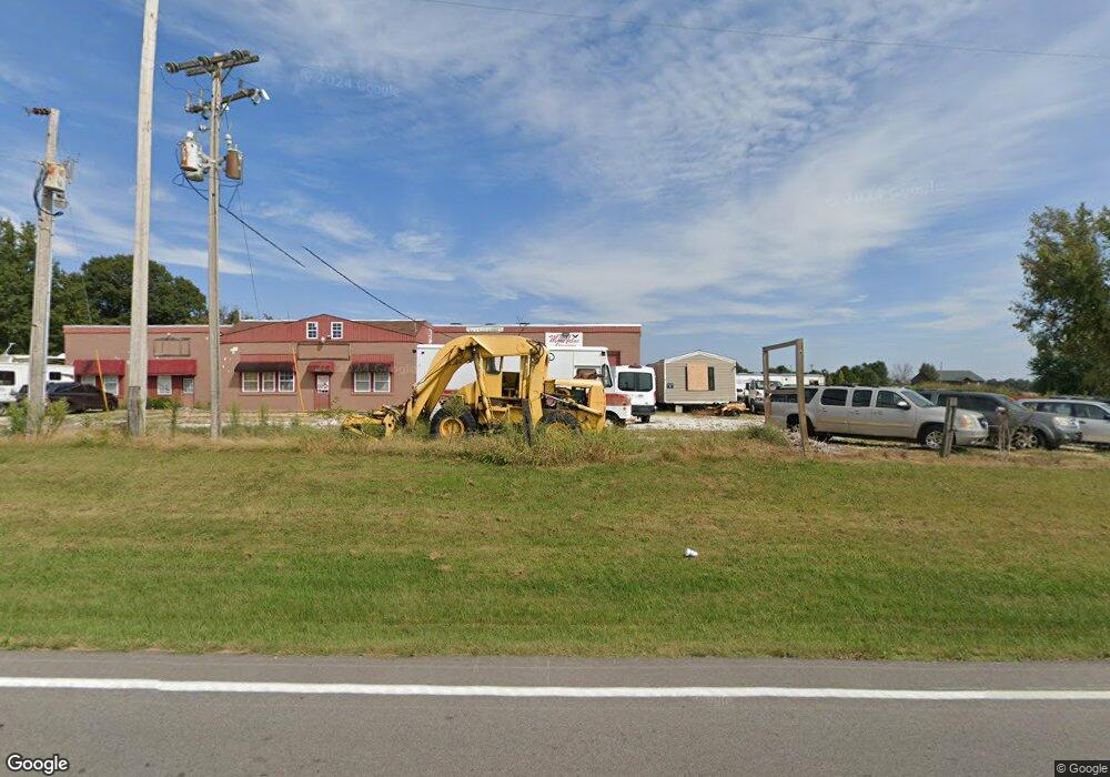
212 S Highway 47 Unit None Hawk Point, MO 63349
Studio
--
Bath
6,715
Sq Ft
60,548
Sq Ft Lot
About This Home
This home is located at 212 S Highway 47 Unit None, Hawk Point, MO 63349. 212 S Highway 47 Unit None is a home located in Lincoln County with nearby schools including Hawk Point Elementary School, Troy Middle School, and Troy Buchanan High School.
Ownership History
Date
Name
Owned For
Owner Type
Purchase Details
Closed on
May 11, 2018
Sold by
Cullins Milton L and Cullins Rose M
Bought by
Starks Tim and Starks Beverly J
Home Financials for this Owner
Home Financials are based on the most recent Mortgage that was taken out on this home.
Original Mortgage
$148,500
Interest Rate
4.44%
Mortgage Type
Future Advance Clause Open End Mortgage
Purchase Details
Closed on
Aug 14, 2008
Sold by
Co Pdil Llc
Bought by
Cullins Milton L
Create a Home Valuation Report for This Property
The Home Valuation Report is an in-depth analysis detailing your home's value as well as a comparison with similar homes in the area
Purchase History
| Date | Buyer | Sale Price | Title Company |
|---|---|---|---|
| Starks Tim | -- | York Title & Abstract Co Inc | |
| Cullins Milton L | $95,000 | None Available |
Source: Public Records
Mortgage History
| Date | Status | Borrower | Loan Amount |
|---|---|---|---|
| Closed | Starks Tim | $148,500 |
Source: Public Records
Tax History
| Year | Tax Paid | Tax Assessment Tax Assessment Total Assessment is a certain percentage of the fair market value that is determined by local assessors to be the total taxable value of land and additions on the property. | Land | Improvement |
|---|---|---|---|---|
| 2025 | $2,147 | $34,660 | $8,410 | $26,250 |
| 2024 | $2,068 | $32,778 | $5,504 | $27,274 |
| 2023 | $2,058 | $32,778 | $5,504 | $27,274 |
| 2022 | $1,942 | $31,139 | $5,504 | $25,635 |
| 2021 | $1,952 | $31,139 | $0 | $0 |
| 2020 | $2,244 | $36,416 | $0 | $0 |
| 2019 | $2,247 | $36,416 | $0 | $0 |
| 2018 | $2,050 | $32,813 | $0 | $0 |
| 2017 | $2,056 | $32,813 | $0 | $0 |
| 2016 | $2,036 | $31,846 | $0 | $0 |
| 2015 | $2,043 | $31,846 | $0 | $0 |
| 2014 | $2,045 | $31,846 | $0 | $0 |
| 2013 | -- | $31,846 | $0 | $0 |
Source: Public Records
Map
Nearby Homes
- 415 Walnut St
- 4 Ashley Ln
- 8 Summers Breeze Ct
- 2 Country Ridge Trail
- 339 White Rd
- 140 Turkey Creek Crossing Dr
- 20 Chinkapin Ct
- 300 Shumard Oak Dr
- 346 Bethel Rd
- 804 Timber Creek Ct
- 401 Deep Forest Dr
- 113 Bridlespur Ct
- 64 Mocking Bird Ln
- 157 Denise Ct
- 19225 Hubbell Ln
- 456 Westridge Dr
- 459 Westridge Dr
- 62 Copper Hills Cove
- 0 Westridge Dr
- 408 Westridge Dr
- 212 S Highway 47
- 230 S Highway 47
- 190 S Highway 47
- 172 S Highway 47
- 20 Summers Dr
- 137 S Highway 47
- 122 S Highway 47
- 47 Stonegate Estates Dr
- 301 S Highway 47
- 108 Saint Michele St
- 104 Saint Michele St
- 108 St Michelle St
- 46 Stone Estates (Lot #14) Dr
- 43 Stonegate Estates Dr
- 46 Stonegate Estates Dr
- 0 Stonegate Estates Dr
- 10 Stonegate Estates Dr
- 132 Washington St
- 15 Stonegate Estates Dr
- 103 Saint Michele St
Your Personal Tour Guide
Ask me questions while you tour the home.