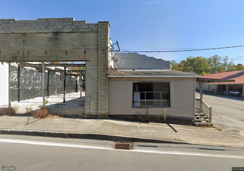
212 S Main St Jamestown, TN 38556
Estimated Value: $40,527
--
Bed
--
Bath
855
Sq Ft
$47/Sq Ft
Est. Value
About This Home
This home is located at 212 S Main St, Jamestown, TN 38556 and is currently estimated at $40,527, approximately $47 per square foot. 212 S Main St is a home located in Fentress County with nearby schools including Cumberland Christian School.
Ownership History
Date
Name
Owned For
Owner Type
Purchase Details
Closed on
May 8, 2023
Sold by
Broyles Thomas W and Broyles Anna L
Bought by
White Oaks Partners Lp
Current Estimated Value
Purchase Details
Closed on
Jul 30, 2018
Sold by
Garrett Shannon
Bought by
Broyles Thomas W and Broyles Anna L
Purchase Details
Closed on
Apr 20, 2016
Sold by
Garrett Charles
Bought by
Garrett Shannon
Purchase Details
Closed on
Oct 29, 2007
Sold by
Garrett Brenda
Bought by
Ooten Kaci
Purchase Details
Closed on
Mar 21, 2005
Sold by
Not Provided
Bought by
Ooten Kaci
Create a Home Valuation Report for This Property
The Home Valuation Report is an in-depth analysis detailing your home's value as well as a comparison with similar homes in the area
Home Values in the Area
Average Home Value in this Area
Purchase History
| Date | Buyer | Sale Price | Title Company |
|---|---|---|---|
| White Oaks Partners Lp | $35,000 | None Listed On Document | |
| White Oaks Partners Lp | $35,000 | None Listed On Document | |
| Broyles Thomas W | $21,000 | None Available | |
| Garrett Shannon | -- | -- | |
| Ooten Kaci | $21,000 | -- | |
| Ooten Kaci | $20,000 | -- |
Source: Public Records
Tax History Compared to Growth
Tax History
| Year | Tax Paid | Tax Assessment Tax Assessment Total Assessment is a certain percentage of the fair market value that is determined by local assessors to be the total taxable value of land and additions on the property. | Land | Improvement |
|---|---|---|---|---|
| 2025 | -- | $18,480 | $0 | $0 |
| 2024 | -- | $18,480 | $4,800 | $13,680 |
| 2023 | $325 | $18,480 | $4,800 | $13,680 |
| 2022 | $278 | $10,560 | $2,800 | $7,760 |
| 2021 | $278 | $10,560 | $2,800 | $7,760 |
| 2020 | $202 | $10,560 | $2,800 | $7,760 |
| 2019 | $278 | $10,560 | $2,800 | $7,760 |
| 2018 | $278 | $10,560 | $2,800 | $7,760 |
| 2017 | $199 | $7,360 | $2,800 | $4,560 |
| 2016 | $199 | $7,360 | $2,800 | $4,560 |
| 2015 | $199 | $7,353 | $0 | $0 |
| 2014 | $199 | $7,353 | $0 | $0 |
Source: Public Records
Map
Nearby Homes
- 209 S Norris St
- n/a S Norris St
- 112 E Wright Ave
- 4140 Milky Way Rd
- 728 Remington Rd
- 4160 Milky Way Rd
- 206 S Norris St
- 216 S Norris St
- 107 Livingston Ave
- 299 Acrs Glen Obey Rd
- 0 Oscar Taylor Rd - 65 78 Acres
- 201 Rugby Ave
- 110 S Main St
- 200 E Wright Ave
- 200 S Norris St
- 101 S Norris St
- 246 S Main St
- 0 Wright Ave Unit 831351
- 247 S Main St
- 219 E Wright Ave