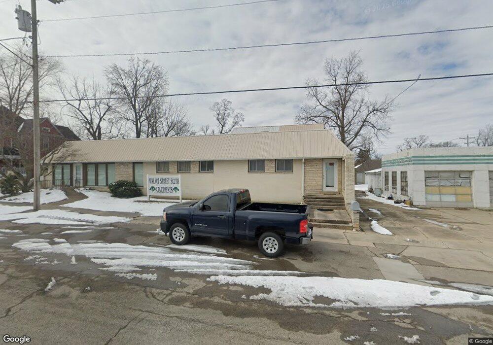
212 S Walnut St Dexter, MO 63841
Estimated Value: $119,000 - $270,266
Studio
--
Bath
1,482
Sq Ft
$150/Sq Ft
Est. Value
About This Home
This home is located at 212 S Walnut St, Dexter, MO 63841 and is currently estimated at $221,567, approximately $149 per square foot. 212 S Walnut St is a home located in Stoddard County with nearby schools including Southwest Elementary School, Central Elementary School, and T.S. Hill Middle School.
Ownership History
Date
Name
Owned For
Owner Type
Purchase Details
Closed on
Feb 25, 2022
Sold by
Berthelot Betty J
Bought by
Horrocks Investments Llc
Current Estimated Value
Home Financials for this Owner
Home Financials are based on the most recent Mortgage that was taken out on this home.
Original Mortgage
$244,000
Outstanding Balance
$126,847
Interest Rate
3%
Mortgage Type
Construction
Estimated Equity
$94,720
Create a Home Valuation Report for This Property
The Home Valuation Report is an in-depth analysis detailing your home's value as well as a comparison with similar homes in the area
Home Values in the Area
Average Home Value in this Area
Purchase History
| Date | Buyer | Sale Price | Title Company |
|---|---|---|---|
| Horrocks Investments Llc | $305,000 | National Title & Escrow Inc |
Source: Public Records
Mortgage History
| Date | Status | Borrower | Loan Amount |
|---|---|---|---|
| Open | Horrocks Investments Llc | $244,000 |
Source: Public Records
Tax History
| Year | Tax Paid | Tax Assessment Tax Assessment Total Assessment is a certain percentage of the fair market value that is determined by local assessors to be the total taxable value of land and additions on the property. | Land | Improvement |
|---|---|---|---|---|
| 2025 | $1,696 | $38,266 | $0 | $0 |
| 2024 | $17 | $36,651 | $0 | $0 |
| 2023 | $1,694 | $36,651 | $0 | $0 |
| 2022 | $1,682 | $36,442 | $0 | $0 |
| 2021 | $1,074 | $22,688 | $0 | $0 |
| 2020 | $994 | $21,312 | $0 | $0 |
| 2019 | $992 | $20,864 | $0 | $0 |
| 2018 | $1,007 | $21,312 | $0 | $0 |
| 2016 | $944 | $20,608 | $0 | $0 |
| 2015 | -- | $20,608 | $0 | $0 |
| 2014 | -- | $24,416 | $0 | $0 |
| 2013 | -- | $0 | $0 | $0 |
Source: Public Records
Map
Nearby Homes
- 128 S Mulberry St
- 106 W Grant St
- 327 S Elm St
- 345 S Catalpa St
- 121 S Poplar St
- 324 Vine St
- 3 S Hickory St
- 502 Chautauqua Ln
- 402 Damon St
- 339 W Castor St
- 125 W Saint Francis St
- 404 Moore St
- 435 W Elk St
- 727 W Fannetta St
- 725 W Bain St
- 805 W Bain St
- 804 Susan St Unit A & B
- 9 W Truitt St
- 2 S One Mile Rd
- 811 Houston St
- 212 S Walnut St
- 222 S Walnut St
- 217 S Walnut St
- 211 S Mulberry St
- 1 Carter St
- 213 S Mulberry St
- 17 Carter St
- 305 S Walnut St
- 0 Miller St
- 21 Carter St
- 310 S Walnut St
- 216 S Mulberry St
- 303 S Mulberry St
- 204 S Mulberry St
- 28 Vine St
- 20 Carter St
- 212 S Mulberry St
- 218 S Mulberry St
- 140 S Locust St
- 222 S Mulberry St
Your Personal Tour Guide
Ask me questions while you tour the home.