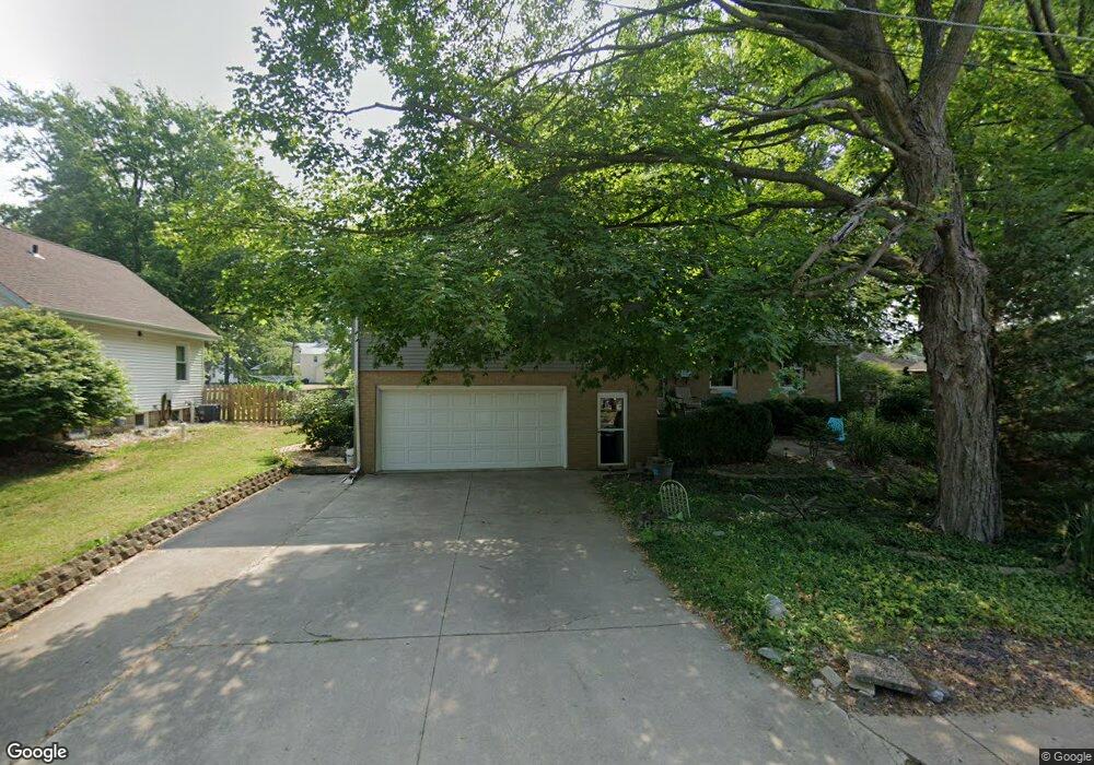
212 S West St Tremont, IL 61568
Estimated Value: $197,000 - $219,000
3
Beds
2
Baths
2,068
Sq Ft
$101/Sq Ft
Est. Value
About This Home
This home is located at 212 S West St, Tremont, IL 61568 and is currently estimated at $208,312, approximately $100 per square foot. 212 S West St is a home located in Tazewell County with nearby schools including Tremont Elementary School, Tremont Middle School, and Tremont High School.
Create a Home Valuation Report for This Property
The Home Valuation Report is an in-depth analysis detailing your home's value as well as a comparison with similar homes in the area
Home Values in the Area
Average Home Value in this Area
Tax History Compared to Growth
Tax History
| Year | Tax Paid | Tax Assessment Tax Assessment Total Assessment is a certain percentage of the fair market value that is determined by local assessors to be the total taxable value of land and additions on the property. | Land | Improvement |
|---|---|---|---|---|
| 2024 | $3,706 | $68,710 | $4,150 | $64,560 |
| 2023 | $3,706 | $63,080 | $3,810 | $59,270 |
| 2022 | $4,270 | $58,730 | $3,550 | $55,180 |
| 2021 | $4,128 | $56,470 | $3,410 | $53,060 |
| 2020 | $4,074 | $55,360 | $3,340 | $52,020 |
| 2019 | $4,081 | $55,360 | $3,340 | $52,020 |
| 2018 | $4,006 | $55,360 | $3,340 | $52,020 |
| 2017 | $3,935 | $55,360 | $3,340 | $52,020 |
| 2016 | $3,876 | $52,790 | $3,190 | $49,600 |
| 2015 | $3,673 | $0 | $0 | $0 |
| 2013 | $3,623 | $52,790 | $3,190 | $49,600 |
Source: Public Records
Map
Nearby Homes
- 313 W South St
- 307 N Toepfer St
- 417 N Toepfer St
- 701 E Pearl St
- 0 Locust St Unit RMAPA1257774
- 5859 Broadway Rd
- 16810 Springfield Rd
- 116 Lost Creek Ct
- 1960-1962 Mayflower Dr
- 1920-1922 Mayflower Dr
- 105 Royal Point Ct
- 107 Lost Creek Ct
- 5559 Broadway Rd
- 10237 Arrow Rd
- 10109 Arrow Rd
- 2116 S 2nd Ave
- 11283 Illinois 9
- 3858 Sunset Dr
- 17902 Red Shale Hill Rd
- 4851 Sheridan Rd