212 Sterling Rd Unit 1 Princeton, MA 01541
Estimated Value: $436,000 - $481,000
1
Bed
1
Bath
1,300
Sq Ft
$353/Sq Ft
Est. Value
About This Home
This home is located at 212 Sterling Rd Unit 1, Princeton, MA 01541 and is currently estimated at $458,336, approximately $352 per square foot. 212 Sterling Rd Unit 1 is a home located in Worcester County with nearby schools including Wachusett Regional High School.
Ownership History
Date
Name
Owned For
Owner Type
Purchase Details
Closed on
Feb 11, 2022
Sold by
Woods Irene R and Woods Donna R
Bought by
Guillot Thomas J and Guillot Julia L
Current Estimated Value
Home Financials for this Owner
Home Financials are based on the most recent Mortgage that was taken out on this home.
Original Mortgage
$314,650
Outstanding Balance
$291,097
Interest Rate
3.56%
Mortgage Type
Purchase Money Mortgage
Estimated Equity
$167,239
Purchase Details
Closed on
Nov 13, 1980
Bought by
Woods Edward J and Woods Irene R
Create a Home Valuation Report for This Property
The Home Valuation Report is an in-depth analysis detailing your home's value as well as a comparison with similar homes in the area
Home Values in the Area
Average Home Value in this Area
Purchase History
| Date | Buyer | Sale Price | Title Company |
|---|---|---|---|
| Guillot Thomas J | $350,000 | None Available | |
| Woods Edward J | -- | -- |
Source: Public Records
Mortgage History
| Date | Status | Borrower | Loan Amount |
|---|---|---|---|
| Open | Guillot Thomas J | $314,650 |
Source: Public Records
Tax History Compared to Growth
Tax History
| Year | Tax Paid | Tax Assessment Tax Assessment Total Assessment is a certain percentage of the fair market value that is determined by local assessors to be the total taxable value of land and additions on the property. | Land | Improvement |
|---|---|---|---|---|
| 2025 | $5,803 | $399,400 | $151,400 | $248,000 |
| 2024 | $5,657 | $403,200 | $149,000 | $254,200 |
| 2023 | $4,615 | $304,800 | $118,900 | $185,900 |
| 2022 | $4,459 | $284,400 | $115,800 | $168,600 |
| 2021 | $4,175 | $259,000 | $115,800 | $143,200 |
| 2020 | $4,059 | $256,100 | $115,800 | $140,300 |
| 2019 | $5,175 | $252,000 | $113,200 | $138,800 |
| 2018 | $4,037 | $233,600 | $96,300 | $137,300 |
| 2017 | $3,625 | $203,900 | $132,900 | $71,000 |
| 2016 | $3,629 | $203,900 | $132,900 | $71,000 |
| 2015 | $3,553 | $205,400 | $134,900 | $70,500 |
Source: Public Records
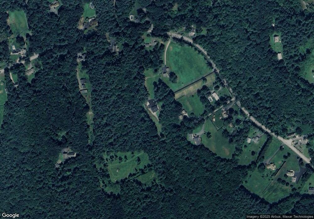
Map
Nearby Homes
- 20 Town Farm Rd
- 17 Coal Kiln Rd
- 100 Houghton Rd
- 751 Mason Rd
- 28 Merriam Rd
- 11 Mirick Rd
- 20 Mountain Rd
- 58 Merriam Rd
- 14 Oak Cir
- 45 Neylon St
- 9 Stagecoach Rd
- 193 Justice Hill Road Cutoff
- 15 Stagecoach Rd
- 134 Mountain Rd
- 161 Beaman Rd
- 19 Hardscrabble Rd
- 133 Rowley Hill Rd
- 0 North St
- 61 Boutelle Rd
- 4 Jewett Rd Unit B
- 212 Sterling Rd
- 226A Sterling Rd
- 210 Sterling Rd
- 1 Paradise Place
- 226B Sterling Rd
- 206 Sterling Rd Unit 1
- 206 Sterling Rd
- 224 Sterling Rd
- 228 Sterling Rd
- 198 Sterling Rd
- 230 Sterling Rd
- 211 Sterling Rd
- 194 Sterling Rd
- 1 Parker Place
- 188 Sterling Rd
- 234 Sterling Rd
- 197 Sterling Rd
- 185 Sterling Rd
- 238 Sterling Rd
- 182 Sterling Rd