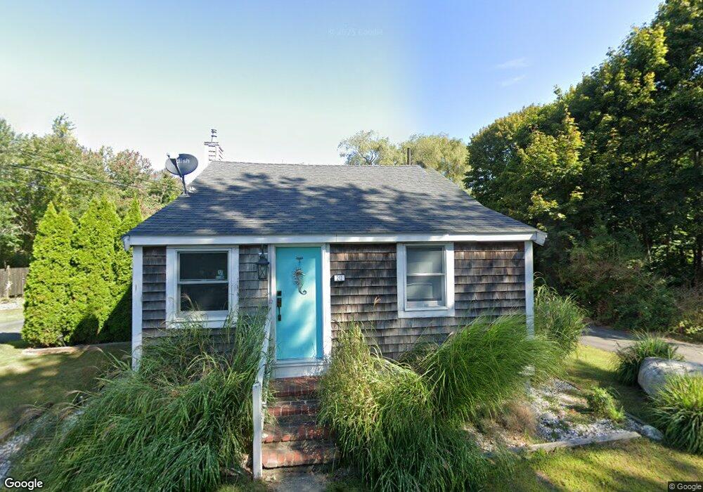
212 Stockbridge Rd Scituate, MA 02066
Estimated Value: $404,000 - $525,933
1
Bed
2
Baths
580
Sq Ft
$778/Sq Ft
Est. Value
About This Home
This home is located at 212 Stockbridge Rd, Scituate, MA 02066 and is currently estimated at $451,233, approximately $777 per square foot. 212 Stockbridge Rd is a home located in Plymouth County with nearby schools including Jenkins Elementary School, Lester J. Gates Middle School, and Scituate High School.
Ownership History
Date
Name
Owned For
Owner Type
Purchase Details
Closed on
Aug 29, 2016
Sold by
Monteiro 3Rd John and Monteiro Susan M
Bought by
Monteiro Susan M
Current Estimated Value
Purchase Details
Closed on
Sep 25, 2007
Sold by
Monteiro John
Bought by
Monteiro John and Monteiro Susan M
Create a Home Valuation Report for This Property
The Home Valuation Report is an in-depth analysis detailing your home's value as well as a comparison with similar homes in the area
Home Values in the Area
Average Home Value in this Area
Purchase History
| Date | Buyer | Sale Price | Title Company |
|---|---|---|---|
| Monteiro Susan M | -- | -- | |
| Monteiro John | -- | -- |
Source: Public Records
Mortgage History
| Date | Status | Borrower | Loan Amount |
|---|---|---|---|
| Previous Owner | Monteiro John | $25,000 | |
| Previous Owner | Monteiro John | $110,000 |
Source: Public Records
Tax History Compared to Growth
Tax History
| Year | Tax Paid | Tax Assessment Tax Assessment Total Assessment is a certain percentage of the fair market value that is determined by local assessors to be the total taxable value of land and additions on the property. | Land | Improvement |
|---|---|---|---|---|
| 2025 | $4,602 | $460,700 | $387,800 | $72,900 |
| 2024 | $4,434 | $428,000 | $352,500 | $75,500 |
| 2023 | $4,151 | $373,000 | $302,100 | $70,900 |
| 2022 | $4,170 | $330,400 | $265,000 | $65,400 |
| 2021 | $5,361 | $309,700 | $252,400 | $57,300 |
| 2020 | $4,049 | $299,900 | $242,700 | $57,200 |
| 2019 | $5,054 | $294,400 | $237,900 | $56,500 |
| 2018 | $3,903 | $279,800 | $221,300 | $58,500 |
| 2017 | $3,596 | $255,200 | $196,700 | $58,500 |
| 2016 | $3,261 | $230,600 | $172,100 | $58,500 |
| 2015 | $3,021 | $230,600 | $172,100 | $58,500 |
Source: Public Records
Map
Nearby Homes
- 29 Ladds Way Unit 29
- 19 Ford Place Unit 3
- 19 Ford Place Unit 1
- 19 Ford Place Unit 4
- 12 Sassamon Rd
- 67 Greenfield Ln
- 59 Greenfield Ln
- 17 Old Oaken Bucket Rd
- 49 Cornet Stetson Rd
- 146 Chief Justice Cushing Hwy
- 12 Meeting House Ln Unit 308
- 50 First Parish Rd
- 9 Cushing Park Rd
- 111 Elm St
- 115 Elm St
- 76 A Brook St
- 76 A Brook St Unit 1
- 48 Neal Gate St
- 74 Tilden Rd
- 91 Front St Unit 106
- 220 Stockbridge Rd
- 208 Stockbridge Rd
- 200 Stockbridge Rd
- 226 Stockbridge Rd
- 232 Stockbridge Rd
- 192 Stockbridge Rd
- 237 Stockbridge Rd
- 193 Stockbridge Rd
- 236 Stockbridge Rd
- 214 Stockbridge Rd
- 184 Stockbridge Rd
- 240 Stockbridge Rd
- 187 Stockbridge Rd
- 168A Stockbridge Rd
- 168 Stockbridge Rd
- 168B Stockbridge Rd
- 244 Stockbridge Rd
- 183 Stockbridge Rd
- 180 Stockbridge Rd
- 251 Stockbridge Rd