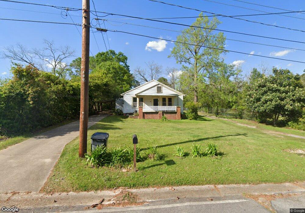
212 Tennyson St NE Pelham, GA 31779
Estimated Value: $78,000 - $170,000
3
Beds
1
Bath
1,380
Sq Ft
$82/Sq Ft
Est. Value
About This Home
This home is located at 212 Tennyson St NE, Pelham, GA 31779 and is currently estimated at $112,696, approximately $81 per square foot. 212 Tennyson St NE is a home located in Mitchell County with nearby schools including Pelham Elementary School, Pelham City Middle School, and Pelham High School.
Ownership History
Date
Name
Owned For
Owner Type
Purchase Details
Closed on
May 25, 2017
Sold by
Itson Bobby Joe
Bought by
Itson Enterprises Llc
Current Estimated Value
Home Financials for this Owner
Home Financials are based on the most recent Mortgage that was taken out on this home.
Original Mortgage
$23,193
Interest Rate
4.03%
Mortgage Type
Purchase Money Mortgage
Purchase Details
Closed on
Feb 10, 2015
Sold by
Willis Jack M
Bought by
Itson Bobby Joe
Create a Home Valuation Report for This Property
The Home Valuation Report is an in-depth analysis detailing your home's value as well as a comparison with similar homes in the area
Home Values in the Area
Average Home Value in this Area
Purchase History
| Date | Buyer | Sale Price | Title Company |
|---|---|---|---|
| Itson Enterprises Llc | $22,500 | -- | |
| Itson Bobby Joe | $27,000 | -- |
Source: Public Records
Mortgage History
| Date | Status | Borrower | Loan Amount |
|---|---|---|---|
| Closed | Itson Enterprises Llc | $23,193 |
Source: Public Records
Tax History Compared to Growth
Tax History
| Year | Tax Paid | Tax Assessment Tax Assessment Total Assessment is a certain percentage of the fair market value that is determined by local assessors to be the total taxable value of land and additions on the property. | Land | Improvement |
|---|---|---|---|---|
| 2024 | $1,173 | $26,880 | $2,400 | $24,480 |
| 2023 | $1,192 | $26,880 | $2,400 | $24,480 |
| 2022 | $930 | $20,960 | $2,400 | $18,560 |
| 2021 | $843 | $19,000 | $2,400 | $16,600 |
| 2020 | $809 | $19,000 | $2,400 | $16,600 |
| 2019 | $826 | $19,000 | $2,400 | $16,600 |
| 2018 | $859 | $19,000 | $2,400 | $16,600 |
| 2017 | $413 | $20,986 | $2,400 | $18,586 |
| 2016 | $429 | $20,986 | $2,400 | $18,586 |
| 2015 | $429 | $20,986 | $2,400 | $18,586 |
| 2014 | $429 | $20,986 | $2,400 | $18,586 |
| 2013 | $429 | $20,986 | $2,400 | $18,586 |
Source: Public Records
Map
Nearby Homes
- 335 Curry St NE
- 438 Dogwood Dr NE
- 183 Baggs Ave SE
- 135 Baggs Ave SE
- 210 Castleberry St NW
- 212 Hand Ave W
- 482 Curry St NE
- 375 Baggs Ave SE
- 000 U S Highway 19
- 233 Cannon St NW
- 3** Youngs Mill Rd
- 354 Bennett St NW
- 371 Liberia St NW
- 277 Saunders St SW
- 307 Palmer St SW
- 455 W Railroad St S
- 0 Georgia 65
- 771 Harmony Rd SE
- 589 Liberia St NW
- 389 Stewart St SW
- 225 Curry St NE
- 230 Tennyson St NE
- 211 Tennyson St NE
- 213 Glausier St NE
- 199 Tennyson St NE
- 185 Curry St NE
- 223 Tennyson St NE
- 242 Tennyson St NE
- 218 Curry St NE
- 208 Curry St NE
- 247 Curry St NE
- 185 Tennyson St NE
- 198 Curry St NE
- 188 Curry St NE
- 250 Tennyson St NE
- 196 Carroll St NE
- 259 Curry St NE
- 184 Carroll St NE
- 251 Tennyson St NE
- 171 Tennyson St NE