212 Thompson Rd Conway, MA 01341
Estimated Value: $374,000 - $448,000
3
Beds
2
Baths
1,336
Sq Ft
$308/Sq Ft
Est. Value
About This Home
This home is located at 212 Thompson Rd, Conway, MA 01341 and is currently estimated at $411,164, approximately $307 per square foot. 212 Thompson Rd is a home located in Franklin County with nearby schools including Frontier Regional School.
Ownership History
Date
Name
Owned For
Owner Type
Purchase Details
Closed on
Apr 6, 2021
Sold by
Wakefield James H
Bought by
Goldfarb Alice
Current Estimated Value
Purchase Details
Closed on
May 1, 2003
Sold by
Wakefield James H and Wakefield Vivian G
Bought by
Dugan David B
Home Financials for this Owner
Home Financials are based on the most recent Mortgage that was taken out on this home.
Original Mortgage
$136,000
Interest Rate
5.86%
Create a Home Valuation Report for This Property
The Home Valuation Report is an in-depth analysis detailing your home's value as well as a comparison with similar homes in the area
Home Values in the Area
Average Home Value in this Area
Purchase History
| Date | Buyer | Sale Price | Title Company |
|---|---|---|---|
| Goldfarb Alice | $258,000 | None Available | |
| Dugan David B | $28,000 | -- |
Source: Public Records
Mortgage History
| Date | Status | Borrower | Loan Amount |
|---|---|---|---|
| Previous Owner | Dugan David B | $55,000 | |
| Previous Owner | Dugan David B | $165,000 | |
| Previous Owner | Dugan David B | $136,000 |
Source: Public Records
Tax History Compared to Growth
Tax History
| Year | Tax Paid | Tax Assessment Tax Assessment Total Assessment is a certain percentage of the fair market value that is determined by local assessors to be the total taxable value of land and additions on the property. | Land | Improvement |
|---|---|---|---|---|
| 2025 | $5,089 | $352,400 | $123,900 | $228,500 |
| 2024 | $4,726 | $288,200 | $112,500 | $175,700 |
| 2023 | $4,943 | $288,200 | $112,500 | $175,700 |
| 2022 | $4,868 | $271,200 | $105,900 | $165,300 |
| 2021 | $4,808 | $256,700 | $101,300 | $155,400 |
| 2020 | $4,714 | $251,300 | $100,800 | $150,500 |
| 2019 | $4,687 | $251,300 | $100,800 | $150,500 |
| 2018 | $4,507 | $243,600 | $100,800 | $142,800 |
| 2017 | $4,324 | $243,600 | $100,800 | $142,800 |
| 2016 | $4,032 | $241,700 | $88,000 | $153,700 |
| 2015 | $3,908 | $241,700 | $88,000 | $153,700 |
Source: Public Records
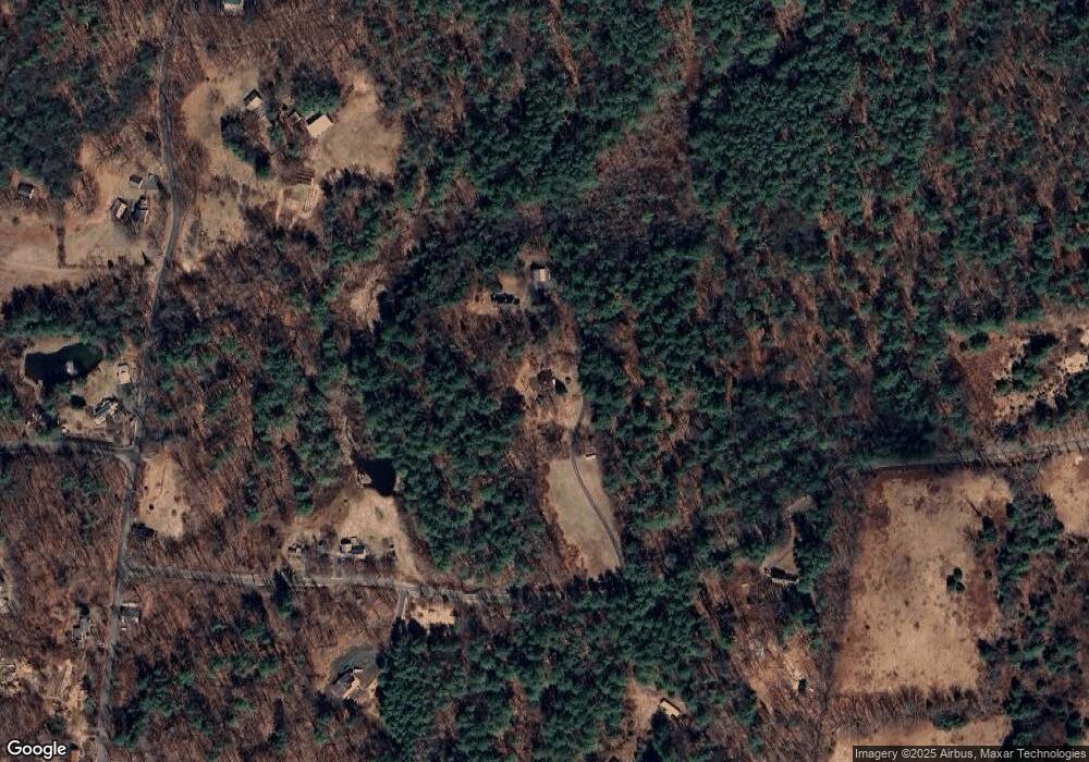
Map
Nearby Homes
- 85 Dacey Rd
- lot 1 Shelburne Falls Rd
- 240 Beldingville Rd
- 102 Elm St
- 14 River St
- 0 Pleasant St
- 10 Deerfield Ave Unit 5
- 10 Deerfield Ave Unit 2
- 105 - 107 Bridge St
- 473 N Poland Rd
- 33 Williams St
- 0 Ashfield Rd
- 7 Hog Hollow Rd
- 156 Ashfield Rd
- 0 Upper St
- 71 Mathews Rd
- 2151 Route 2
- 2155 Massachusetts 2
- 163 S Shelburne Rd
- 220 Hawley Rd
- 214 Thompson Rd
- 292 Thompson Rd
- Lot C Thompson Rd
- 161 Thompson Rd
- 161 Thompson Rd
- 221 Thompson Rd
- 550 S Shirkshire Rd
- 259 Thompson Rd
- 14 Jones Corner Rd
- LOT A S Shirkshire Rd
- LOT 1 S Shirkshire Rd
- 0 S Shirkshire Rd
- 434 S Shirkshire Rd
- 527 S Shirkshire Rd
- Parcel C Thompson Rd
- 501 S Shirkshire Rd
- 585 S Shirkshire Rd
- 411 S Shirkshire Rd
- 370 S Shirkshire Rd
- 53 Jones Corner Rd