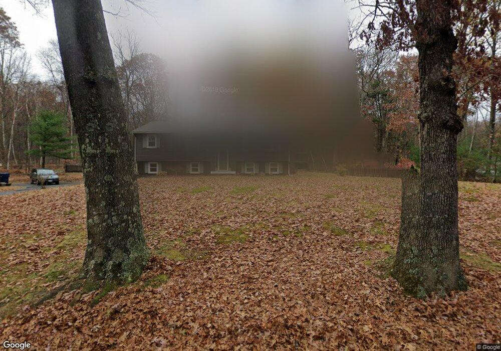
212 Thompson St Palmer, MA 01069
Estimated Value: $312,000 - $358,000
3
Beds
1
Bath
1,248
Sq Ft
$273/Sq Ft
Est. Value
About This Home
This home is located at 212 Thompson St, Palmer, MA 01069 and is currently estimated at $340,750, approximately $273 per square foot. 212 Thompson St is a home located in Hampden County with nearby schools including Old Mill Pond Elementary School, Converse Middle School, and Palmer High School.
Ownership History
Date
Name
Owned For
Owner Type
Purchase Details
Closed on
Dec 19, 2024
Sold by
Cook Cynthia J and Reidy Margaret E
Bought by
Reidy Margaret E and Reidy Margaret E
Current Estimated Value
Purchase Details
Closed on
May 22, 2003
Sold by
Cook Cynthia J
Bought by
Cook Cynthia J and Reidy Margaret E
Purchase Details
Closed on
May 19, 1988
Sold by
Jordan Gary B
Bought by
Cook Cynthia J
Home Financials for this Owner
Home Financials are based on the most recent Mortgage that was taken out on this home.
Original Mortgage
$90,000
Interest Rate
10.13%
Mortgage Type
Purchase Money Mortgage
Create a Home Valuation Report for This Property
The Home Valuation Report is an in-depth analysis detailing your home's value as well as a comparison with similar homes in the area
Home Values in the Area
Average Home Value in this Area
Purchase History
| Date | Buyer | Sale Price | Title Company |
|---|---|---|---|
| Reidy Margaret E | -- | None Available | |
| Cook Cynthia J | -- | None Available | |
| Reidy Margaret E | -- | None Available | |
| Cook Cynthia J | -- | -- | |
| Cook Cynthia J | -- | -- | |
| Cook Cynthia J | $130,000 | -- |
Source: Public Records
Mortgage History
| Date | Status | Borrower | Loan Amount |
|---|---|---|---|
| Previous Owner | Cook Cynthia J | $90,000 | |
| Previous Owner | Cook Cynthia J | $90,000 |
Source: Public Records
Tax History Compared to Growth
Tax History
| Year | Tax Paid | Tax Assessment Tax Assessment Total Assessment is a certain percentage of the fair market value that is determined by local assessors to be the total taxable value of land and additions on the property. | Land | Improvement |
|---|---|---|---|---|
| 2025 | $4,999 | $275,400 | $70,400 | $205,000 |
| 2024 | $4,673 | $250,300 | $63,900 | $186,400 |
| 2023 | $4,528 | $232,900 | $63,900 | $169,000 |
| 2022 | $4,586 | $214,300 | $56,000 | $158,300 |
| 2021 | $4,316 | $190,700 | $62,100 | $128,600 |
| 2020 | $4,186 | $183,600 | $62,100 | $121,500 |
| 2019 | $4,065 | $183,600 | $62,100 | $121,500 |
| 2018 | $3,939 | $178,400 | $60,400 | $118,000 |
| 2017 | $3,848 | $178,400 | $60,400 | $118,000 |
| 2016 | $3,727 | $175,200 | $58,700 | $116,500 |
| 2015 | $3,614 | $175,200 | $58,700 | $116,500 |
Source: Public Records
Map
Nearby Homes
- 135 Thompson St
- 98 Mason St
- 0 Flynt St
- 7 Cedar Hill St
- 60 Beech St
- 1415 Park St
- 36 Washington Rd
- 52 Washington Rd
- 11 Allen St
- 190 Dunhamtown Palmer Rd
- Lot 3 Washington Rd
- 207 Breckenridge St
- 160 Breckenridge St
- Lot 8 Breckenridge St
- 1B Quaboag Valley Co Op St
- 302 Boston Rd
- 268 Palmer Rd Unit 59
- 268 Palmer Rd Unit 44
- 268 Palmer Rd Unit 27
- 268 Palmer Rd Unit 2