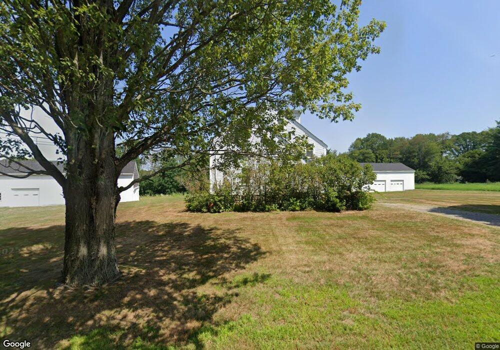
212 Topsfield Rd Wenham, MA 01984
Estimated Value: $1,261,000 - $1,265,601
4
Beds
2
Baths
2,846
Sq Ft
$444/Sq Ft
Est. Value
About This Home
This home is located at 212 Topsfield Rd, Wenham, MA 01984 and is currently estimated at $1,263,301, approximately $443 per square foot. 212 Topsfield Rd is a home located in Essex County with nearby schools including Winthrop School, Cutler Elementary School, and Miles River Middle School.
Create a Home Valuation Report for This Property
The Home Valuation Report is an in-depth analysis detailing your home's value as well as a comparison with similar homes in the area
Home Values in the Area
Average Home Value in this Area
Tax History Compared to Growth
Tax History
| Year | Tax Paid | Tax Assessment Tax Assessment Total Assessment is a certain percentage of the fair market value that is determined by local assessors to be the total taxable value of land and additions on the property. | Land | Improvement |
|---|---|---|---|---|
| 2025 | $13,511 | $869,409 | $559,609 | $309,800 |
| 2024 | $12,528 | $800,001 | $495,301 | $304,700 |
| 2023 | $15,808 | $911,100 | $656,500 | $254,600 |
| 2022 | $11,069 | $565,346 | $337,746 | $227,600 |
| 2021 | $10,466 | $531,817 | $304,217 | $227,600 |
| 2020 | $10,551 | $557,087 | $304,587 | $252,500 |
| 2019 | $10,039 | $557,087 | $304,587 | $252,500 |
| 2018 | $10,584 | $563,301 | $310,801 | $252,500 |
| 2017 | $10,358 | $565,101 | $310,801 | $254,300 |
| 2016 | $9,595 | $565,101 | $310,801 | $254,300 |
| 2015 | $9,183 | $565,101 | $310,801 | $254,300 |
Source: Public Records
Map
Nearby Homes
- 225 Topsfield Rd
- LOT 68 Parson's Hill
- LOT 59 Parson's Hill
- LOT 4A Rear Topsfield Rd
- 15 Daniels Rd
- 17 Conrad Cir
- 20 Daniels Rd
- 219 Topsfield Rd
- 231 Topsfield Rd
- 13 Daniels Rd
- 19 Daniels Rd
- 15 Conrad Cir
- 11 Daniels Rd
- 17 Daniels Rd
- 233 Topsfield Rd
- 2 Conrad Cir
- 10 Conrad Cir
- 18 Daniels Rd
- 13 Conrad Cir
- 207 Topsfield Rd