Estimated Value: $150,000 - $207,123
3
Beds
1
Bath
1,536
Sq Ft
$120/Sq Ft
Est. Value
About This Home
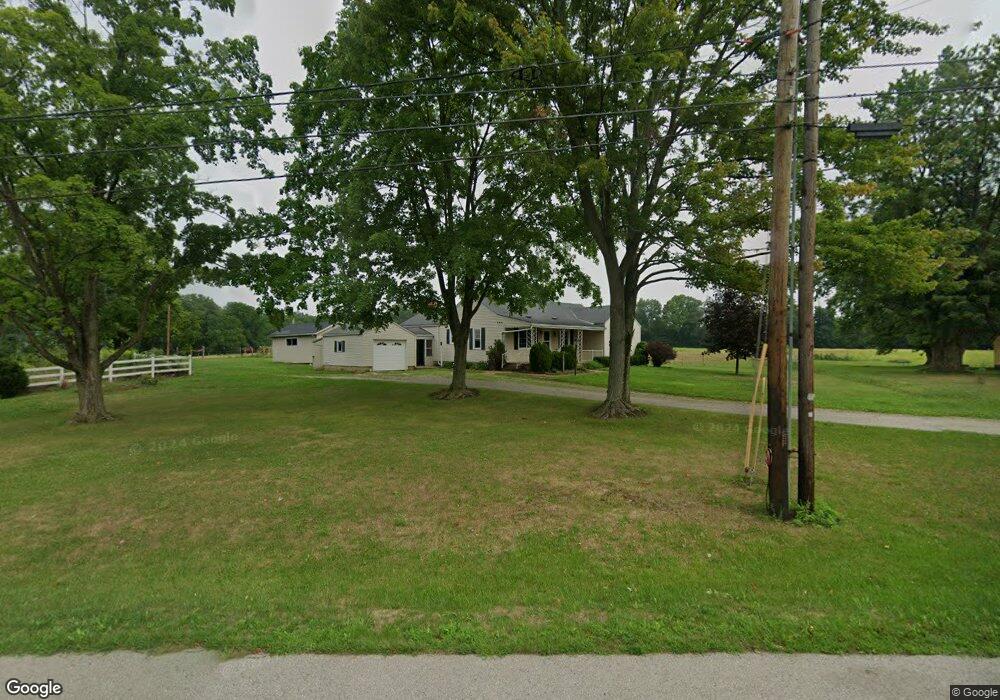
This home is located at 212 Us Highway 250, Polk, OH 44866 and is currently estimated at $184,031, approximately $119 per square foot. 212 Us Highway 250 is a home with nearby schools including Ashland High School and County Curve.
Ownership History
Date
Name
Owned For
Owner Type
Purchase Details
Closed on
Oct 13, 2020
Bought by
Samuel A Shetler
Current Estimated Value
Purchase Details
Closed on
Jun 25, 2018
Sold by
Weiler Living Trust
Bought by
Shetler Samuel A
Home Financials for this Owner
Home Financials are based on the most recent Mortgage that was taken out on this home.
Original Mortgage
$190,000
Interest Rate
4.5%
Mortgage Type
New Conventional
Purchase Details
Closed on
Sep 12, 2006
Sold by
Weiler Don W
Bought by
Weiler Don W
Purchase Details
Closed on
Jan 1, 1990
Bought by
Weiler Don W
Create a Home Valuation Report for This Property
The Home Valuation Report is an in-depth analysis detailing your home's value as well as a comparison with similar homes in the area
Home Values in the Area
Average Home Value in this Area
Purchase History
| Date | Buyer | Sale Price | Title Company |
|---|---|---|---|
| Samuel A Shetler | $15,000 | -- | |
| Shetler Samuel A | $180,000 | Ashland Title Agcy | |
| Weiler Don W | -- | -- | |
| Weiler Don W | -- | -- |
Source: Public Records
Mortgage History
| Date | Status | Borrower | Loan Amount |
|---|---|---|---|
| Previous Owner | Shetler Samuel A | $190,000 |
Source: Public Records
Tax History Compared to Growth
Tax History
| Year | Tax Paid | Tax Assessment Tax Assessment Total Assessment is a certain percentage of the fair market value that is determined by local assessors to be the total taxable value of land and additions on the property. | Land | Improvement |
|---|---|---|---|---|
| 2024 | $2,014 | $53,730 | $8,120 | $45,610 |
| 2023 | $2,014 | $53,730 | $8,120 | $45,610 |
| 2022 | $1,789 | $37,050 | $5,600 | $31,450 |
| 2021 | $1,810 | $37,050 | $5,600 | $31,450 |
| 2020 | $1,682 | $37,050 | $5,600 | $31,450 |
| 2019 | $1,725 | $34,500 | $5,740 | $28,760 |
| 2018 | $1,266 | $34,500 | $5,740 | $28,760 |
| 2017 | $1,270 | $34,500 | $5,740 | $28,760 |
| 2016 | $1,119 | $30,540 | $5,080 | $25,460 |
| 2015 | $1,110 | $30,540 | $5,080 | $25,460 |
| 2013 | $1,135 | $30,410 | $5,060 | $25,350 |
Source: Public Records
Map
Nearby Homes
- 156 U S 250
- 203 County Road 1302
- 144 Township Road 1650
- 1137 County Road 175
- 1346 Ohio 89
- 164 State Route 302
- 1346 State Route 89
- 2289 N Reedsburg Rd
- 10212 Lattasburg Rd
- 486 Township Road 1275
- 0 Township Road 1275
- 999 Township Road 133
- 8743 Ashland Rd
- 14 E South St
- 10610 W Old Lincoln Way Unit 6201 Newkirk Rd.
- 568 County Road 175
- 6929 Bates Rd
- 686 County Road 1302
- 1173 Township Road 753
- 1446 Township Road 805
- 215 Us Highway 250
- 211 Us Highway 250
- 206 Us Highway 250
- 205 Us Highway 250
- 202 Us Highway 250
- 203 Us Highway 250
- 225 Us Highway 250
- 177 U S 250
- 198 Us Highway 250
- 194 Us Highway 250
- 195 Us Rte 250 E
- 195 U S 250
- 187 Us Highway 250
- 188 Township Road 1402
- 186 Township Road 1402
- 195 Front St
- 182 Township Road 1402
- 181 Township Road 1402
- 179 Us Highway 250
- 176 Us Highway 250