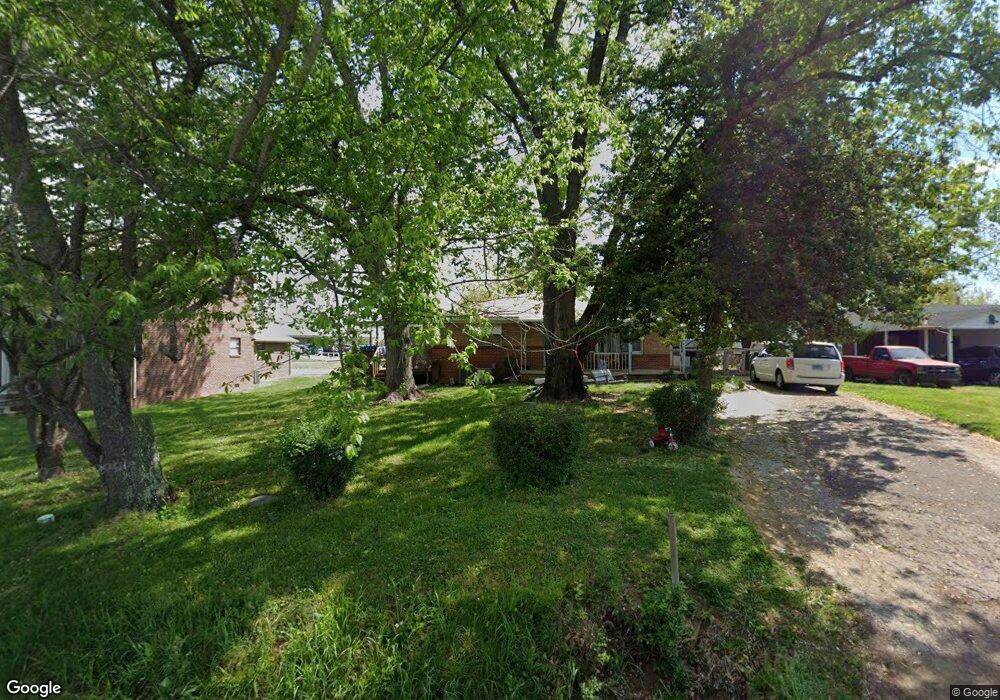
212 Walker Dr Morristown, TN 37814
Estimated Value: $133,000 - $263,000
--
Bed
1
Bath
1,147
Sq Ft
$167/Sq Ft
Est. Value
About This Home
This home is located at 212 Walker Dr, Morristown, TN 37814 and is currently estimated at $191,648, approximately $167 per square foot. 212 Walker Dr is a home located in Hamblen County with nearby schools including Manley Elementary School, West View Middle School, and Morristown West High School.
Ownership History
Date
Name
Owned For
Owner Type
Purchase Details
Closed on
May 15, 2022
Sold by
Dunn Herbert J and Dunn Judy P
Bought by
Cameron Dustin and Cameron Justin
Current Estimated Value
Home Financials for this Owner
Home Financials are based on the most recent Mortgage that was taken out on this home.
Original Mortgage
$149,314
Outstanding Balance
$141,870
Interest Rate
5.27%
Mortgage Type
New Conventional
Estimated Equity
$49,778
Purchase Details
Closed on
Nov 3, 1993
Bought by
Dunn Herbert J and Dunn Judy P
Purchase Details
Closed on
Jun 14, 1955
Bought by
Walker C E
Create a Home Valuation Report for This Property
The Home Valuation Report is an in-depth analysis detailing your home's value as well as a comparison with similar homes in the area
Home Values in the Area
Average Home Value in this Area
Purchase History
| Date | Buyer | Sale Price | Title Company |
|---|---|---|---|
| Cameron Dustin | $149,314 | None Listed On Document | |
| Dunn Herbert J | $43,000 | -- | |
| Walker C E | -- | -- |
Source: Public Records
Mortgage History
| Date | Status | Borrower | Loan Amount |
|---|---|---|---|
| Open | Cameron Dustin | $149,314 |
Source: Public Records
Tax History Compared to Growth
Tax History
| Year | Tax Paid | Tax Assessment Tax Assessment Total Assessment is a certain percentage of the fair market value that is determined by local assessors to be the total taxable value of land and additions on the property. | Land | Improvement |
|---|---|---|---|---|
| 2024 | $348 | $19,750 | $3,300 | $16,450 |
| 2023 | $277 | $19,750 | $0 | $0 |
| 2022 | $625 | $19,750 | $3,300 | $16,450 |
| 2021 | $625 | $19,750 | $3,300 | $16,450 |
| 2020 | $624 | $19,750 | $3,300 | $16,450 |
| 2019 | $583 | $17,150 | $3,200 | $13,950 |
| 2018 | $540 | $17,150 | $3,200 | $13,950 |
| 2017 | $532 | $17,150 | $3,200 | $13,950 |
| 2016 | $508 | $17,150 | $3,200 | $13,950 |
| 2015 | $472 | $17,150 | $3,200 | $13,950 |
| 2014 | -- | $17,150 | $3,200 | $13,950 |
| 2013 | -- | $17,450 | $0 | $0 |
Source: Public Records
Map
Nearby Homes
- 700 Drinnon Dr
- 3475 Walden Dr
- 3471 Walden Dr
- 801 Colonial Dr
- 2978 Wilshire Blvd
- 725 Barton Dr
- 729 Amanda Harrison Ct
- 3113 Wilshire Blvd
- 2454 Sandstone Dr
- 2444 Sandstone Dr
- 2430 Sandstone Dr
- 2310 Sandstone Dr
- 1086 St Ives Ct
- 1101 Drinnon Dr
- 3721 Meadowland Dr
- 2045 N Economy Rd Unit A3
- 3641 Meadowland Dr
- 2020 N Economy Rd
- 707 Walters Dr
- 837 Foxglove Ln