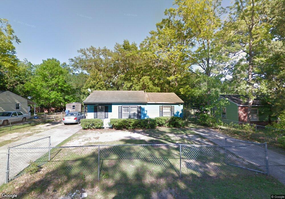
2120 Baker Rd Mobile, AL 36618
Autumndale NeighborhoodEstimated Value: $79,790 - $123,000
3
Beds
1
Bath
964
Sq Ft
$105/Sq Ft
Est. Value
About This Home
This home is located at 2120 Baker Rd, Mobile, AL 36618 and is currently estimated at $100,948, approximately $104 per square foot. 2120 Baker Rd is a home located in Mobile County with nearby schools including Forest Hill Elementary School, CL Scarborough Middle School, and Mattie T Blount High School.
Ownership History
Date
Name
Owned For
Owner Type
Purchase Details
Closed on
Feb 2, 2010
Sold by
Smith Annie M
Bought by
Mabien Olive and Mabien Junior
Current Estimated Value
Purchase Details
Closed on
May 28, 1999
Sold by
Smith Annie M
Bought by
Smith Annie M and Pines Charlene
Home Financials for this Owner
Home Financials are based on the most recent Mortgage that was taken out on this home.
Original Mortgage
$34,450
Interest Rate
7.04%
Mortgage Type
VA
Create a Home Valuation Report for This Property
The Home Valuation Report is an in-depth analysis detailing your home's value as well as a comparison with similar homes in the area
Home Values in the Area
Average Home Value in this Area
Purchase History
| Date | Buyer | Sale Price | Title Company |
|---|---|---|---|
| Mabien Olive | $60,700 | None Available | |
| Smith Annie M | -- | -- |
Source: Public Records
Mortgage History
| Date | Status | Borrower | Loan Amount |
|---|---|---|---|
| Previous Owner | Smith Annie M | $34,450 |
Source: Public Records
Tax History Compared to Growth
Tax History
| Year | Tax Paid | Tax Assessment Tax Assessment Total Assessment is a certain percentage of the fair market value that is determined by local assessors to be the total taxable value of land and additions on the property. | Land | Improvement |
|---|---|---|---|---|
| 2024 | $495 | $3,820 | $1,000 | $2,820 |
| 2023 | $495 | $3,770 | $1,000 | $2,770 |
| 2022 | $460 | $3,620 | $1,000 | $2,620 |
| 2021 | $422 | $3,320 | $800 | $2,520 |
| 2020 | $396 | $3,120 | $600 | $2,520 |
| 2019 | $385 | $3,030 | $600 | $2,430 |
| 2018 | $385 | $6,060 | $0 | $0 |
| 2017 | $367 | $5,780 | $0 | $0 |
| 2016 | $573 | $9,020 | $0 | $0 |
| 2013 | $627 | $8,880 | $0 | $0 |
Source: Public Records
Map
Nearby Homes
- 4020 Baker Rd
- 4108 Chambord Ln
- 1800 La Pine Dr
- 1758 La Pine Dr
- 4409 Eastview Dr
- 1557 Phillips Ln
- 1809 Harris Rd
- 4054 Pringle Dr
- 1617 Phillips Ln
- 6632 Monarch Cir
- 1417 Pringle Dr
- 1413 Pine Grove Ave
- 1325 Carre Dr W
- 1553 Phillips Ln
- 4409 Moffett Rd
- 21 Brucewood Dr W
- 3209 First Ave
- 1510 Northview Dr
- 2021 Sandalwood Dr
- 1721 Richardson Way
- 2116 Baker Rd
- 2124 Baker Rd
- 2021 Holleman Cir N
- 2112 Baker Rd
- 2023 Holleman Cir N
- 2121 Baker Rd
- 2117 Baker Rd
- 2019 Holleman Cir N
- 2125 Baker Rd
- 2113 Baker Rd
- 2108 Baker Rd
- 2132 Baker Rd
- 2129 Baker Rd
- 2025 Holleman Cir N
- 2109 Baker Rd
- 3859 Pickett Dr
- 2017 Holleman Cir N
- 2136 Baker Rd
- 2133 Baker Rd
- 2104 Baker Rd