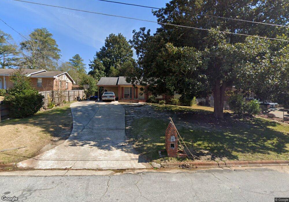
2120 Burnside Dr Columbus, GA 31907
East Columbus NeighborhoodEstimated Value: $141,000 - $171,000
3
Beds
2
Baths
1,438
Sq Ft
$109/Sq Ft
Est. Value
About This Home
This home is located at 2120 Burnside Dr, Columbus, GA 31907 and is currently estimated at $156,842, approximately $109 per square foot. 2120 Burnside Dr is a home located in Muscogee County with nearby schools including Forrest Road Elementary School, Fort Middle School, and Kendrick High School.
Ownership History
Date
Name
Owned For
Owner Type
Purchase Details
Closed on
May 9, 2023
Sold by
Mays Wayne Jonathan
Bought by
J And Q Quality Properties Llc
Current Estimated Value
Purchase Details
Closed on
Jul 23, 2014
Sold by
Federal National Mortgage Association
Bought by
Mays Wayne Jonathan
Purchase Details
Closed on
May 6, 2014
Sold by
Green Tree Servicing Llc
Bought by
Federal National Mtg Associati
Create a Home Valuation Report for This Property
The Home Valuation Report is an in-depth analysis detailing your home's value as well as a comparison with similar homes in the area
Home Values in the Area
Average Home Value in this Area
Purchase History
| Date | Buyer | Sale Price | Title Company |
|---|---|---|---|
| J And Q Quality Properties Llc | -- | None Listed On Document | |
| Mays Wayne Jonathan | $32,900 | -- | |
| Federal National Mtg Associati | $79,355 | -- | |
| Green Tree Servicing Llc | -- | -- |
Source: Public Records
Tax History
| Year | Tax Paid | Tax Assessment Tax Assessment Total Assessment is a certain percentage of the fair market value that is determined by local assessors to be the total taxable value of land and additions on the property. | Land | Improvement |
|---|---|---|---|---|
| 2025 | $2,114 | $54,016 | $8,756 | $45,260 |
| 2024 | $2,114 | $54,016 | $8,756 | $45,260 |
| 2023 | $2,128 | $54,016 | $8,756 | $45,260 |
| 2022 | $1,312 | $32,128 | $8,756 | $23,372 |
| 2021 | $1,110 | $27,180 | $8,756 | $18,424 |
| 2020 | $1,110 | $27,180 | $8,756 | $18,424 |
| 2019 | $1,114 | $27,180 | $8,756 | $18,424 |
| 2018 | $1,114 | $27,180 | $8,756 | $18,424 |
| 2017 | $1,117 | $27,180 | $8,756 | $18,424 |
| 2016 | $543 | $13,160 | $2,550 | $10,610 |
| 2015 | $217 | $13,160 | $2,550 | $10,610 |
| 2014 | $286 | $30,527 | $2,550 | $27,977 |
| 2013 | -- | $30,527 | $2,550 | $27,977 |
Source: Public Records
Map
Nearby Homes
- 2312 Burnside Dr
- 1925 Woodhollow Dr
- 6293 Dupree Dr
- 6213 Fitzgerald Dr
- 6424 Lemongrass Dr
- 6370 Lemongrass Dr
- 6362 Lemongrass Dr
- 6366 Lemongrass Dr
- 6311 Morning Dew Dr
- 6303 Morning Dew Dr
- 6307 Morning Dew Dr
- 6302 Morning Dew Dr
- 1524 Mazor Dr
- 2708 Courtland Ave
- 2672 Honeysuckle Dr
- 6620 Cove Cir
- 1314 Pagoda Dr
- 2525 Corineth Dr
- 3041 Waddell Dr
- 5773 Marlette Ct
- 2114 Burnside Dr
- 2204 Burnside Dr
- 2121 Courtland Ave
- 2210 Burnside Dr
- 2115 Courtland Ave
- 2205 Courtland Ave
- 2108 Burnside Dr
- 2121 Burnside Dr
- 2213 Courtland Ave
- 2107 Courtland Ave
- 2115 Burnside Dr
- 2205 Burnside Dr
- 2216 Burnside Dr
- 2211 Burnside Dr
- 2107 Burnside Dr
- 2219 Courtland Ave
- 2217 Burnside Dr
- 2222 Burnside Dr
- 2225 Courtland Ave
- 2120 Courtland Ave
Your Personal Tour Guide
Ask me questions while you tour the home.