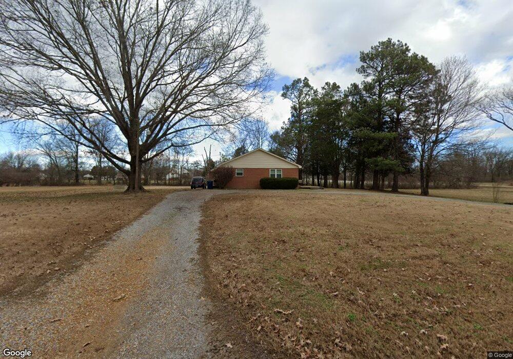
2120 Little John Rd Millington, TN 38053
Estimated Value: $286,000 - $304,000
3
Beds
2
Baths
1,612
Sq Ft
$182/Sq Ft
Est. Value
About This Home
This home is located at 2120 Little John Rd, Millington, TN 38053 and is currently estimated at $293,967, approximately $182 per square foot. 2120 Little John Rd is a home located in Shelby County with nearby schools including E.E. Jeter Elementary School, Trezevant High School, and Woodlawn Baptist Academy.
Ownership History
Date
Name
Owned For
Owner Type
Purchase Details
Closed on
Jun 7, 2010
Sold by
Massey Richard M
Bought by
Harris Diana M and Belcher Jason O
Current Estimated Value
Home Financials for this Owner
Home Financials are based on the most recent Mortgage that was taken out on this home.
Original Mortgage
$143,360
Outstanding Balance
$96,222
Interest Rate
5%
Mortgage Type
VA
Estimated Equity
$197,745
Create a Home Valuation Report for This Property
The Home Valuation Report is an in-depth analysis detailing your home's value as well as a comparison with similar homes in the area
Home Values in the Area
Average Home Value in this Area
Purchase History
| Date | Buyer | Sale Price | Title Company |
|---|---|---|---|
| Harris Diana M | $140,000 | Mid South Title Services Llc |
Source: Public Records
Mortgage History
| Date | Status | Borrower | Loan Amount |
|---|---|---|---|
| Open | Harris Diana M | $143,360 |
Source: Public Records
Tax History Compared to Growth
Tax History
| Year | Tax Paid | Tax Assessment Tax Assessment Total Assessment is a certain percentage of the fair market value that is determined by local assessors to be the total taxable value of land and additions on the property. | Land | Improvement |
|---|---|---|---|---|
| 2025 | -- | $64,325 | $15,625 | $48,700 |
| 2024 | $1,645 | $48,525 | $13,725 | $34,800 |
| 2023 | $1,645 | $48,525 | $13,725 | $34,800 |
| 2022 | $1,645 | $48,525 | $13,725 | $34,800 |
| 2021 | $1,674 | $48,525 | $13,725 | $34,800 |
| 2020 | $1,357 | $33,500 | $12,475 | $21,025 |
| 2019 | $1,357 | $33,500 | $12,475 | $21,025 |
| 2018 | $1,357 | $33,500 | $12,475 | $21,025 |
| 2017 | $1,377 | $33,500 | $12,475 | $21,025 |
| 2016 | $1,399 | $32,025 | $0 | $0 |
| 2014 | $1,399 | $32,025 | $0 | $0 |
Source: Public Records
Map
Nearby Homes
- 6770 Camp John Rd
- 1 Walsh Rd
- 1907 Campbell Rd
- 6234 Woodstock Cuba Rd
- 7265 Ward Rd
- 1435 Walsh Cove
- 0 N Watkins Unit 10203950
- 0 N Watkins Unit 10193620
- 6525 N Watkins Rd
- 7550 Woodstock Cuba Rd
- 2714 Moonview Rd
- 7441 Walsh Rd
- 6443 N Watkins St
- 6639 Old Millington Rd
- 7790 Deer Lake Dr
- 5907 Old Millington Rd
- 6746 Old Millington Rd
- 2078 Russell Bond Rd
- 6007 Island Forty Rd
- 5923 Island Forty Rd
- 2085 Little John Rd
- 6745 Woodstock Cuba Rd
- 6650 Woodstock Cuba Rd
- 6623 Woodstock Cuba Rd
- 6759 Woodstock Cuba Rd
- 6768 Woodstock Cuba Rd
- 6771 Woodstock Cuba Rd
- 2041 Little John Rd
- 6791 Woodstock Cuba Rd
- 6778 Woodstock Cuba Rd
- 2038 Little John Rd
- 6605 Woodstock Cuba Rd
- 6788 Woodstock Cuba Rd
- 2004 Little John Rd
- 6802 Woodstock Cuba Rd
- 6819 Woodstock Cuba Rd
- 6573 Woodstock Cuba Rd
- 1986 Little John Rd
- 6827 Woodstock Cuba Rd
- 1985 Little John Rd