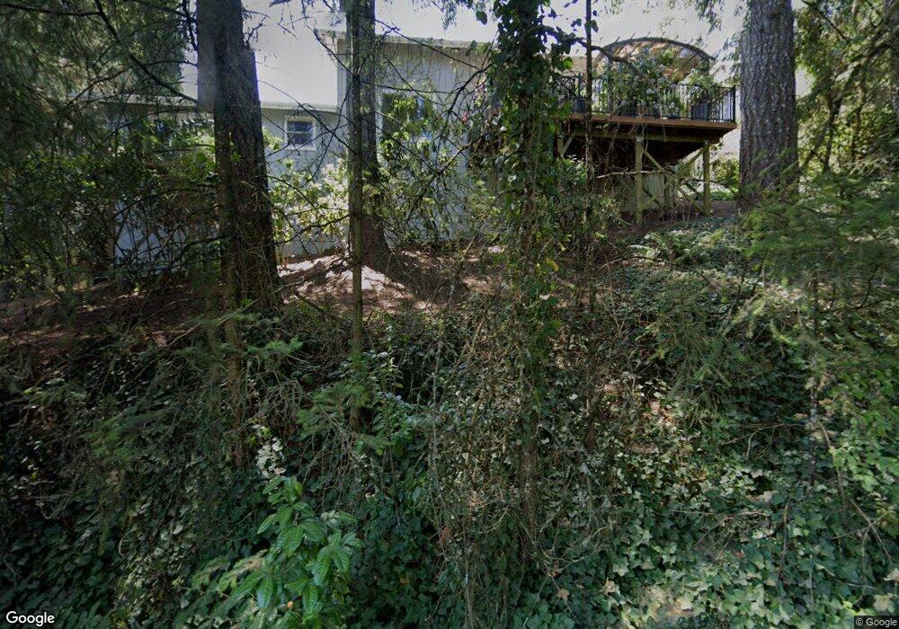
2120 Mclean Blvd Eugene, OR 97405
Crest Drive NeighborhoodEstimated Value: $490,223 - $504,000
3
Beds
2
Baths
1,466
Sq Ft
$339/Sq Ft
Est. Value
About This Home
This home is located at 2120 Mclean Blvd, Eugene, OR 97405 and is currently estimated at $497,056, approximately $339 per square foot. 2120 Mclean Blvd is a home located in Lane County with nearby schools including Adams Elementary School, Arts And Technology Academy At Jefferson, and Churchill High School.
Ownership History
Date
Name
Owned For
Owner Type
Purchase Details
Closed on
Mar 18, 2015
Sold by
Christiansen Jay A and Christiansen Carla A
Bought by
Mckinley Whitney A
Current Estimated Value
Home Financials for this Owner
Home Financials are based on the most recent Mortgage that was taken out on this home.
Original Mortgage
$241,544
Outstanding Balance
$182,662
Interest Rate
3.5%
Mortgage Type
FHA
Estimated Equity
$314,394
Create a Home Valuation Report for This Property
The Home Valuation Report is an in-depth analysis detailing your home's value as well as a comparison with similar homes in the area
Home Values in the Area
Average Home Value in this Area
Purchase History
| Date | Buyer | Sale Price | Title Company |
|---|---|---|---|
| Mckinley Whitney A | $246,000 | Evergreen Land Title Co |
Source: Public Records
Mortgage History
| Date | Status | Borrower | Loan Amount |
|---|---|---|---|
| Open | Mckinley Whitney A | $241,544 |
Source: Public Records
Tax History
| Year | Tax Paid | Tax Assessment Tax Assessment Total Assessment is a certain percentage of the fair market value that is determined by local assessors to be the total taxable value of land and additions on the property. | Land | Improvement |
|---|---|---|---|---|
| 2025 | $5,452 | $279,812 | -- | -- |
| 2024 | $5,384 | $271,663 | -- | -- |
| 2023 | $5,384 | $263,751 | -- | -- |
| 2022 | $5,044 | $256,069 | $0 | $0 |
| 2021 | $4,737 | $248,611 | $0 | $0 |
| 2020 | $4,754 | $241,370 | $0 | $0 |
| 2019 | $4,592 | $234,340 | $0 | $0 |
| 2018 | $4,322 | $220,888 | $0 | $0 |
| 2017 | $4,058 | $220,888 | $0 | $0 |
| 2016 | $3,933 | $214,454 | $0 | $0 |
| 2015 | $3,814 | $208,208 | $0 | $0 |
| 2014 | $3,714 | $202,144 | $0 | $0 |
Source: Public Records
Map
Nearby Homes
- 2090 Graham Dr
- 2311 Douglas Dr
- 1778 Graham Dr
- 2850 Garfield St
- 0 Mclean Blvd Unit 24671448
- 0 Mclean Blvd Unit 697374759
- 2030 W 34th Ave
- 2565 Braewood Ln
- 2037 Morning View Dr
- 2315 W 28th Ave
- 2765 Almaden St
- 2240 W 25th Place
- 2490 Panorama Dr
- 2870 Hawkins Ln
- 0 Hallmark Ln
- 2728 Hallmark Ln
- 2610 Park Forest Dr
- 3160 Whitten Dr
- 3320 Videra Dr
- 2230 Cleveland St
- 2100 Mclean Blvd
- 2130 Mclean Blvd
- 2140 Mclean Blvd
- 2097 Mclean Blvd
- 2091 Mclean Blvd
- 2150 Mclean Blvd
- 2080 Mclean Blvd
- 2085 Mclean Blvd
- 2089 Graham Dr
- 2170 Mclean Blvd
- 2060 Mclean Blvd
- 2020 Graham Dr
- 2000 Graham Dr
- 2050 Mclean Blvd
- 2070 Mclean Blvd
- 2030 Graham Dr
- 2060 Graham Dr
- 1998 Graham Dr
- 2164 Mclean Blvd
- 2055 Mclean Blvd
Your Personal Tour Guide
Ask me questions while you tour the home.