2120 Mitchell Ave NW Annandale, MN 55302
Estimated Value: $453,000 - $548,000
4
Beds
2
Baths
1,162
Sq Ft
$426/Sq Ft
Est. Value
About This Home
This home is located at 2120 Mitchell Ave NW, Annandale, MN 55302 and is currently estimated at $494,603, approximately $425 per square foot. 2120 Mitchell Ave NW is a home located in Wright County with nearby schools including Annandale Elementary School, Annandale Middle School, and Annandale Senior High School.
Ownership History
Date
Name
Owned For
Owner Type
Purchase Details
Closed on
Oct 30, 2020
Sold by
Lano Shelley L and Lano Steven W
Bought by
Amundsen Gavyn
Current Estimated Value
Home Financials for this Owner
Home Financials are based on the most recent Mortgage that was taken out on this home.
Original Mortgage
$288,000
Outstanding Balance
$256,279
Interest Rate
2.8%
Mortgage Type
New Conventional
Estimated Equity
$238,324
Create a Home Valuation Report for This Property
The Home Valuation Report is an in-depth analysis detailing your home's value as well as a comparison with similar homes in the area
Purchase History
| Date | Buyer | Sale Price | Title Company |
|---|---|---|---|
| Amundsen Gavyn | $320,000 | Title Mark Llc | |
| Amundsen Gavyn Gavyn | $320,000 | -- |
Source: Public Records
Mortgage History
| Date | Status | Borrower | Loan Amount |
|---|---|---|---|
| Open | Amundsen Gavyn | $288,000 | |
| Previous Owner | Amundsen Gavyn Gavyn | $260,200 | |
| Closed | Amundsen Gavyn Gavyn | $288,000 |
Source: Public Records
Tax History
| Year | Tax Paid | Tax Assessment Tax Assessment Total Assessment is a certain percentage of the fair market value that is determined by local assessors to be the total taxable value of land and additions on the property. | Land | Improvement |
|---|---|---|---|---|
| 2025 | $3,614 | $462,000 | $156,100 | $305,900 |
| 2024 | $3,590 | $468,000 | $156,100 | $311,900 |
| 2023 | $3,396 | $471,100 | $156,100 | $315,000 |
| 2022 | $2,734 | $399,300 | $111,700 | $287,600 |
| 2021 | $2,788 | $290,400 | $83,800 | $206,600 |
| 2020 | $2,784 | $286,000 | $83,800 | $202,200 |
| 2019 | $2,718 | $281,200 | $0 | $0 |
| 2018 | $2,452 | $263,200 | $0 | $0 |
| 2017 | $2,262 | $245,300 | $0 | $0 |
| 2016 | $2,302 | $0 | $0 | $0 |
| 2015 | $2,118 | $0 | $0 | $0 |
| 2014 | -- | $0 | $0 | $0 |
Source: Public Records
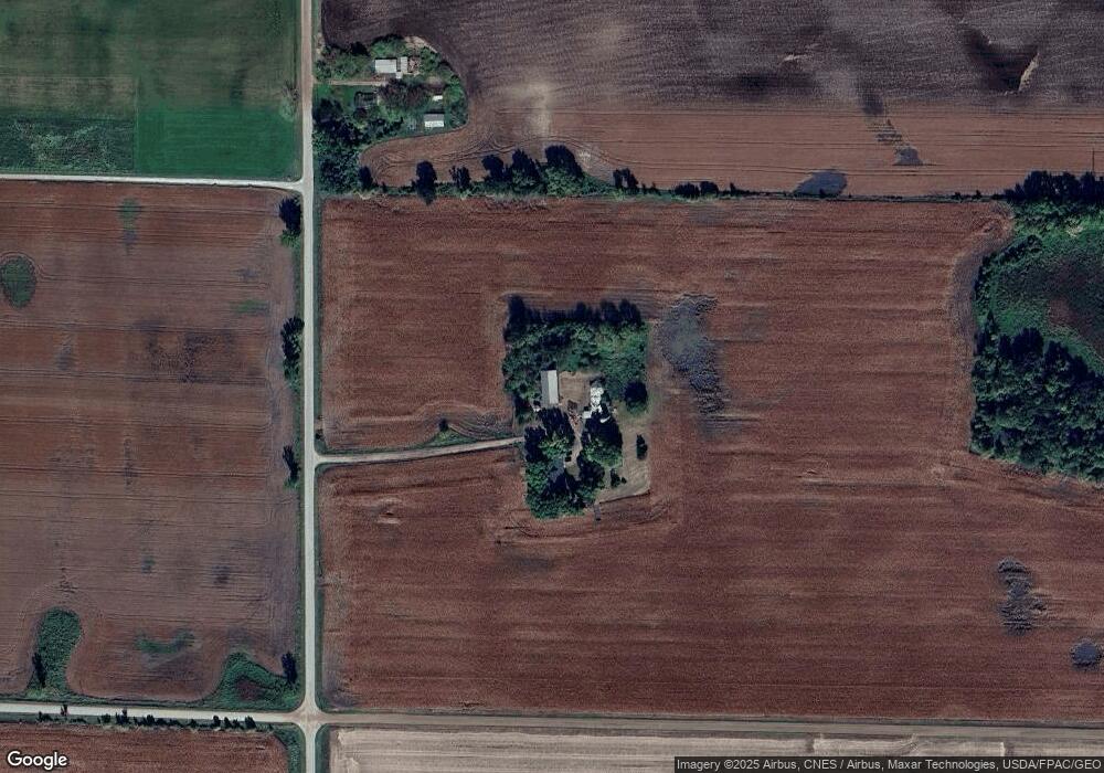
Map
Nearby Homes
- 3990 Moore Ave NW
- 3726 Norris Ave NW
- 3832 Norris Ave NW
- 234 County Highway 4 SW
- 415 County Highway 4 SW
- 433 County Highway 4 SW
- 432 County Highway 4 SW
- 9298 50th St NW
- 4626 County Road 6 NW
- 3665 Pleason Ave NW
- 904 Palm Cir
- 800 Morrison Ave NW
- 521 Douglas Dr S
- 451 Valley Dr W
- 510 Douglas Dr S
- 440 Valley Dr W
- 681 Irwin Cir
- 625 Beech Cir
- 810 Morrison Ave NW
- 311 Florence Ave S
- 2300 Mitchell Ave NW
- 2467 Mitchell Ave NW
- 11504 20th St NW
- 1810 Mitchell Ave NW
- 11918 25th St NW
- 2253 Mitchell Ave NW
- 2505 Mitchell Ave NW
- 1718 Mitchell Ave NW
- 11864 25th St NW
- 11412 20th St NW
- 2741 Mitchell Ave NW
- Unassigned County Road 5
- xxxxx Mowery Ave NW
- 2800 Mitchell Ave NW
- 1920 County Road 5 NW
- 1906 County Road 5 NW
- 1894 County Road 5 NW
- 2001 County Road 5 NW
- 1870 County Road 5 NW
- 1848 County Road 5 NW
Your Personal Tour Guide
Ask me questions while you tour the home.